Areas of Expertise
Our primary areas of expertise cover the Hill Country, Central and South Texas

Gillespie County
Our family lives in Fredericksburg and we love it! Come let us show you around our town. Gillespie County is located in west central Texas. Fredericksburg, the county's largest town and county seat, is seventy miles west of Austin and sixty-five miles northwest of San Antonio. Know as the Wine Capitol of Texas and home to some amazing peaches the Fredericksburg area is a wonderful area to come and visit.

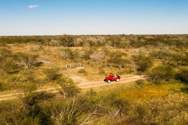
Real County
Our favorite Summertime hang out place on the Frio River is in Leakey! We have been coming here since the 80's. When Jennifers family bought a property there. Real County is in southwest Texas, bounded on the north and west by Edwards County, on the east by Kerr and Bandera counties, and on the south by Uvalde County. The center of the county lies at 29°50' north latitude and 99°50' west longitude, 100 miles northwest of San Antonio. Real County encompasses 622 square miles of the Balcones Escarpment on the southern edge of the Edwards Plateau; its terrain is characterized by sharply dissected canyonlands crossed by numerous streams, which flow from perennial springs in the water-bearing strata of the Edwards and Glen Rose limestone formations and descend the escarpment over beds of limestone, gravel, and calcareous soils. Headwaters of both the Frio and the Nueces rivers lie within Real County; the Nueces forms the county's western boundary with Edwards County. Elevations range from 1,500 feet in the valleys to 2,400 feet in the northern part of the county at the edge of the plateau; the mountains and ridges in the western half of the county, the eastern edge of the Nueces Canyon, are steeper and more rugged than those along the Frio Canyon to the east. Rainfall averages 23.88 inches annually. Temperatures range from an average low of 35° F in January to an average high of 96° F in July; the growing season lasts about 235 days. Although agriculture has been of limited significance to the area since the earliest periods of human occupation, arable land is found in the valleys, where pecan trees are plentiful.

Travis County
We lived in Austin for a good while and still have many friends there. Travis County is in Central Texas, 150 miles inland from the Gulf of Mexico. Austin, the state capital and county seat, is at the intersection of Interstate Highway 35 and U.S. highways 183 and 290, 100 miles southwest of Waco and seventy-five miles northeast of San Antonio.

Bexar County
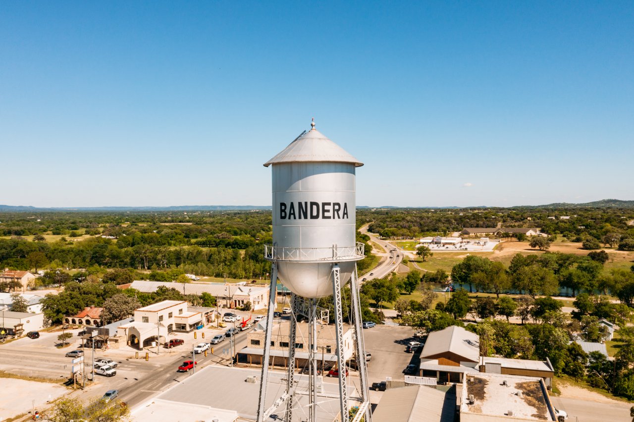
Bandera County
My family first got here in 1860!- Chris Stearns Bandera County is twenty-five miles northwest of San Antonio in the Edwards Plateau region of southwest Texas. It is bordered by Kerr and Kendall counties on the north, Bexar County on the east, Medina and Uvalde counties on the south, and Real County on the west. The county seat and largest town is Bandera.

Mason County

Blanco
Goliad County
Jennifer's Family owns a ranch here and we have sold several properties in the area. Goliad is the third oldest municipality and is rich in Texas history.

Kendall County
Kendall County is in south central Texas, 170 miles inland from the Gulf of Mexico, and is bordered by Gillespie, Blanco, Comal, Bexar, Bandera, and Kerr counties. Boerne, the county seat, is on Cibolo Creek at the intersection of U.S. Highway 87 and Farm Road 475, thirty miles northwest of San Antonio. The county's center lies eleven miles north of Boerne at 29°57' north latitude and 98°43' west longitude. Kendall County comprises roughly 663 square miles of rolling to hilly terrain in the Edwards Plateau region, with elevations ranging from 1,000 to 2,000 feet above sea level. Vegetation native to the alkaline soils of the region consists primarily of tall grasses, live oak, juniper, and mesquite. Most of the area is drained by the Guadalupe River, which crosses the county from west to east. Two other important water courses rise in Kendall County: the Blanco River in the north and Cibolo Creek in the south. Wildlife in the area includes deer, javelina, coyote, bobcat, beaver, badger, fox, raccoon, weasel, squirrel, and a variety of small birds, fish, and reptiles. Among the county's mineral resources are dolomite and limestone. The climate is subtropical subhumid with an average minimum temperature of 35° F in January and an average high of 94° in July. The growing season averages 231 days annually, and the rainfall averages thirty-two inches.
Llano County
The self proclaimed "Deer Capital of Texas" Key geological features include the Llano uplift and the Llano river
Bee County
Bee County is in the Rio Grande plain of south central Texas, fifty miles northwest of Corpus Christi and 146 miles southeast of Austin. It is bordered on the north by Karnes and Goliad counties, on the east by Refugio County, on the south by San Patricio County, and on the west by Live Oak County. Beeville is the county's largest town and seat of government.
Refigio County
Refugio County (re-FYOO-ri-o) is on the lower Gulf Coast in the Coastal Prairies region, bounded on the south by San Patricio County, on the west by Bee and Goliad counties, on the north by Victoria and Calhoun counties, and on the east by Aransas County and by Hynes and Copano bays.