$1,395,000
913 GREENWOOD VALLEY RANCH RD, ROCKSPRING, TX 78880
-
Bedrooms
4
-
Bathrooms
2
Bedrooms
Bathrooms
Intro
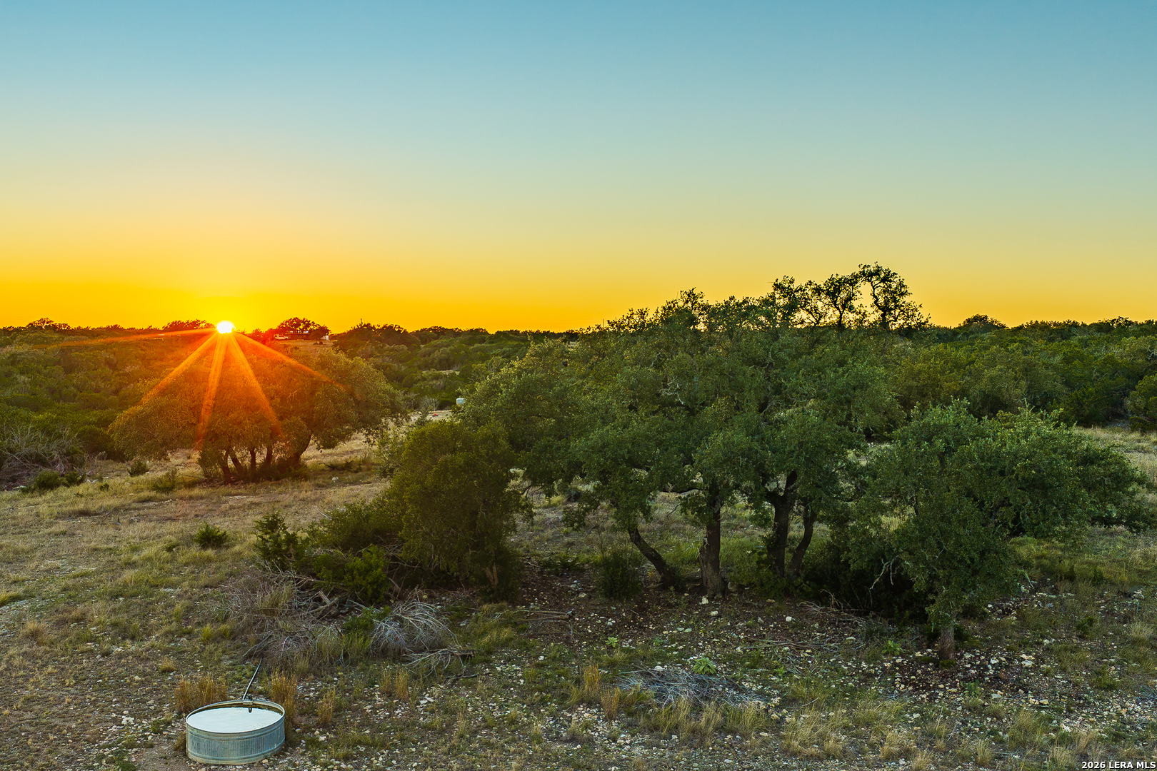
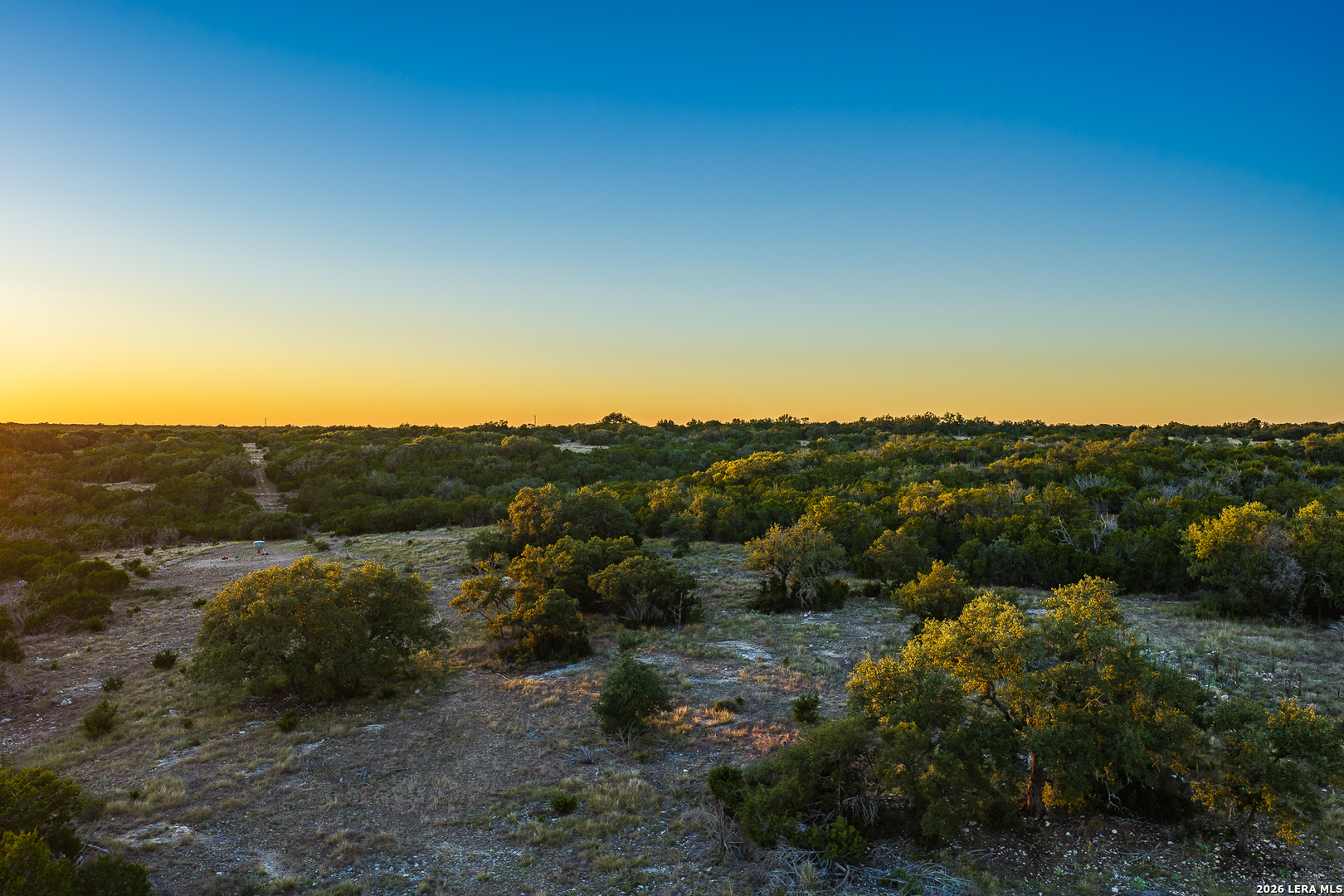
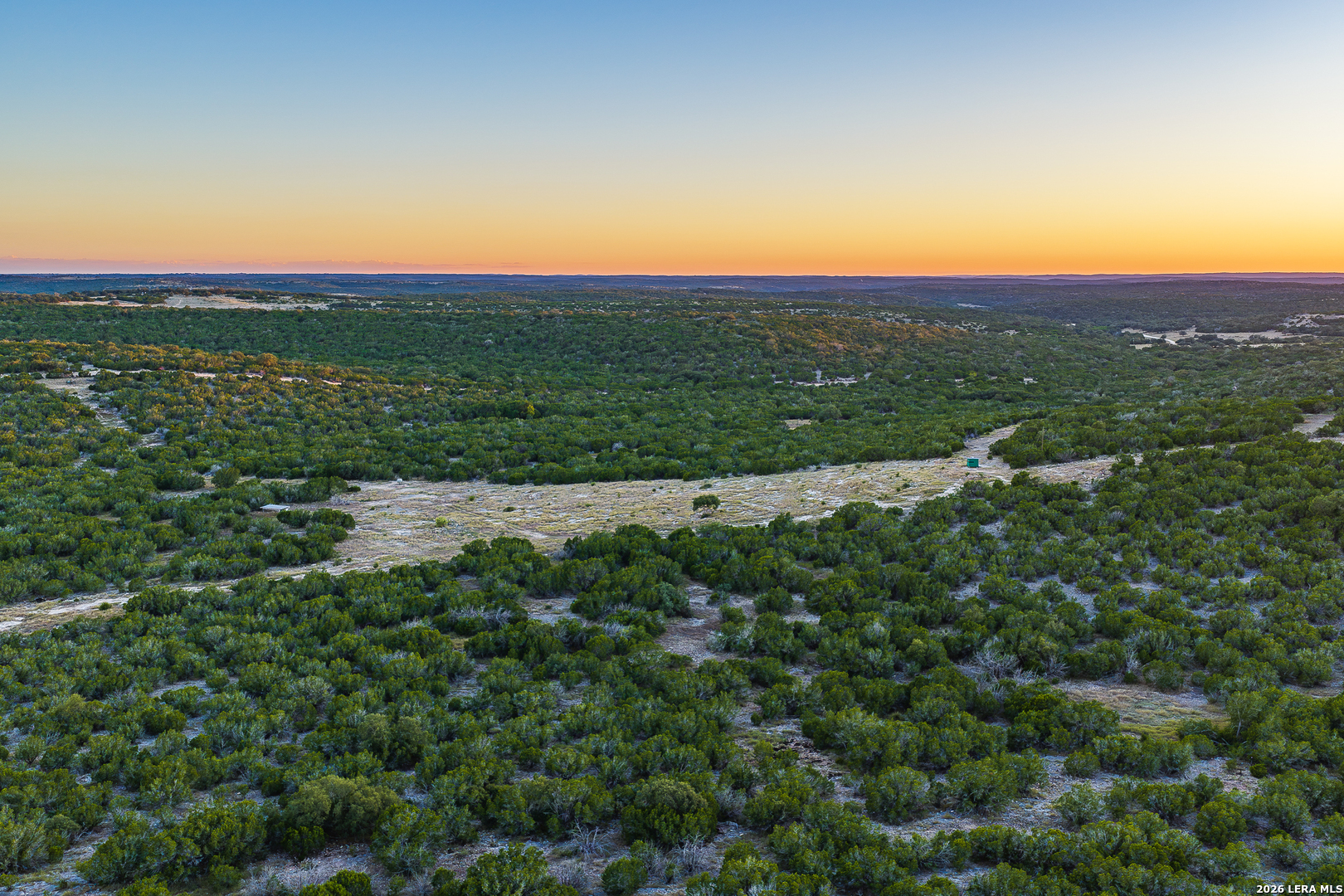
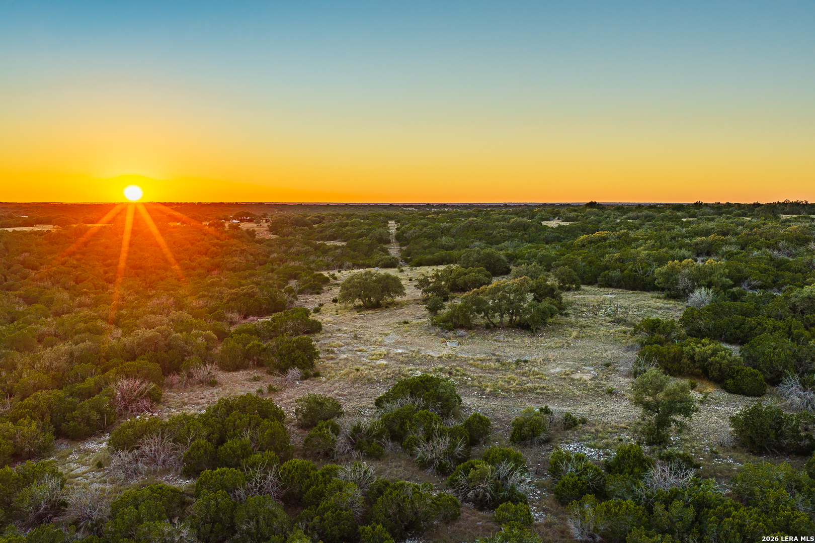
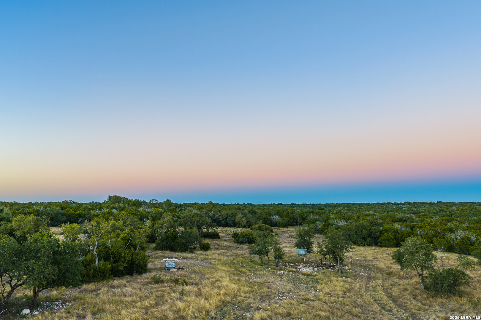
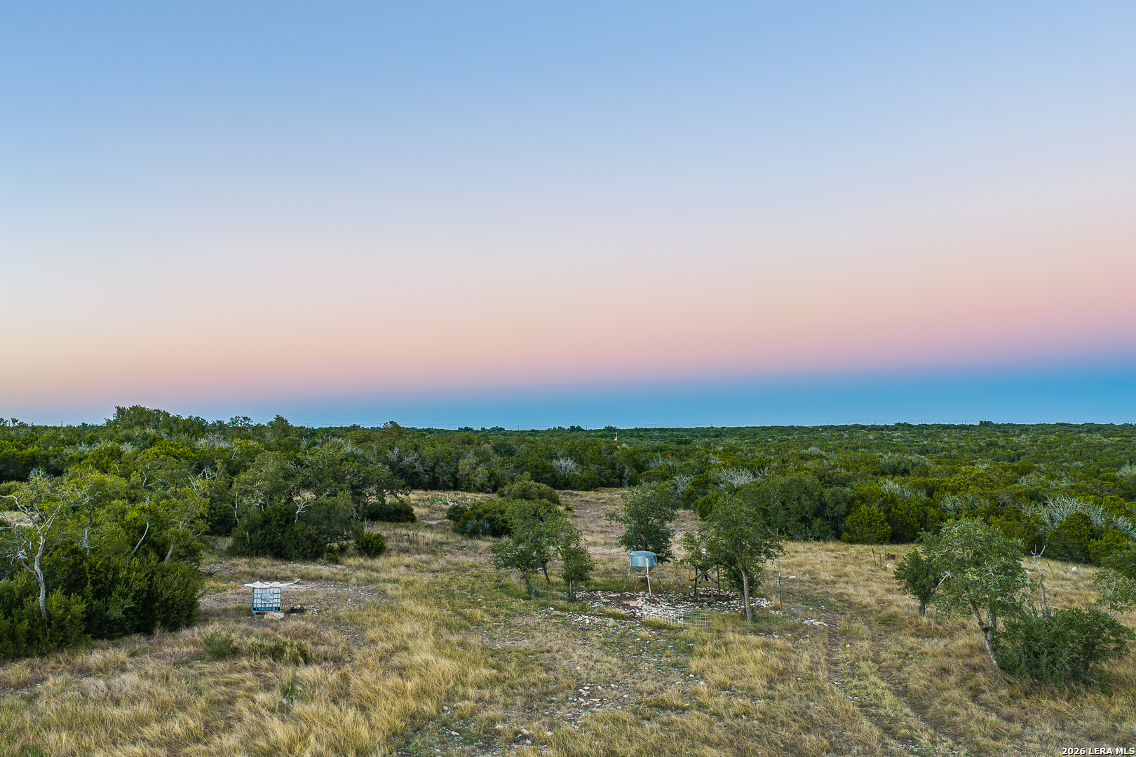
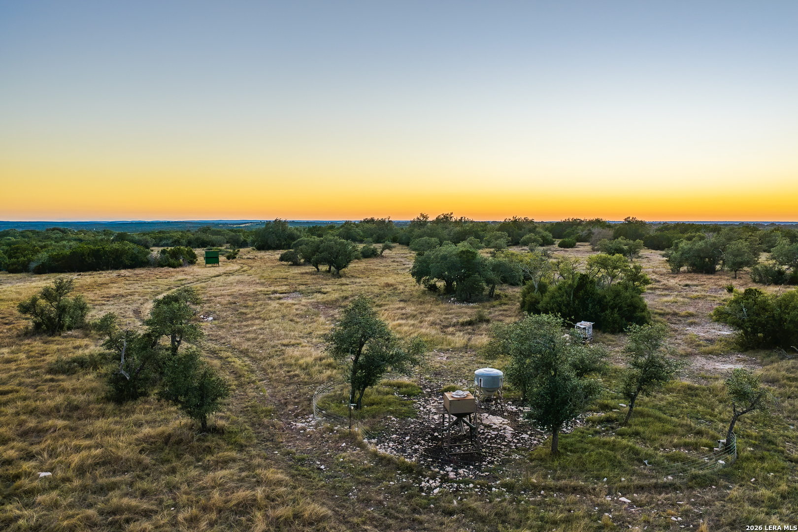
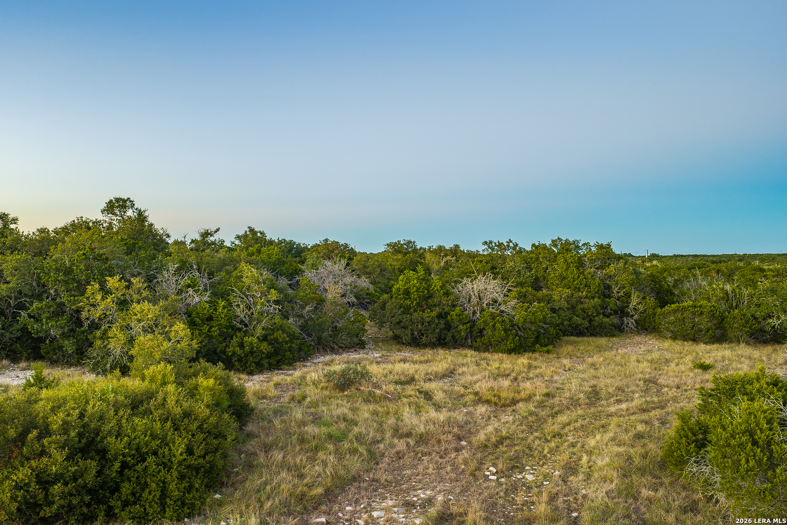
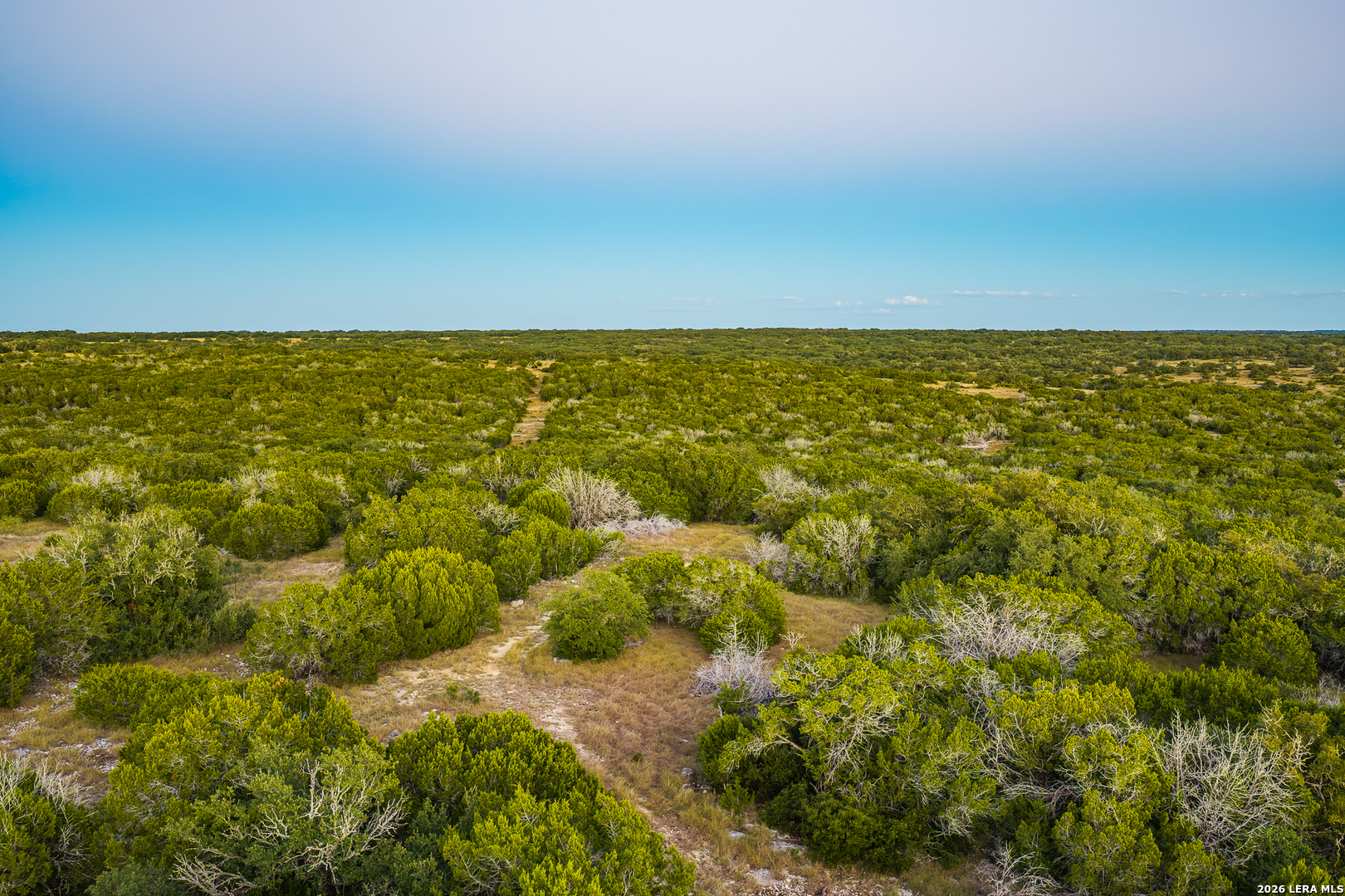
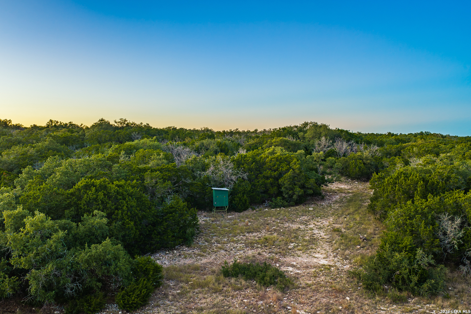
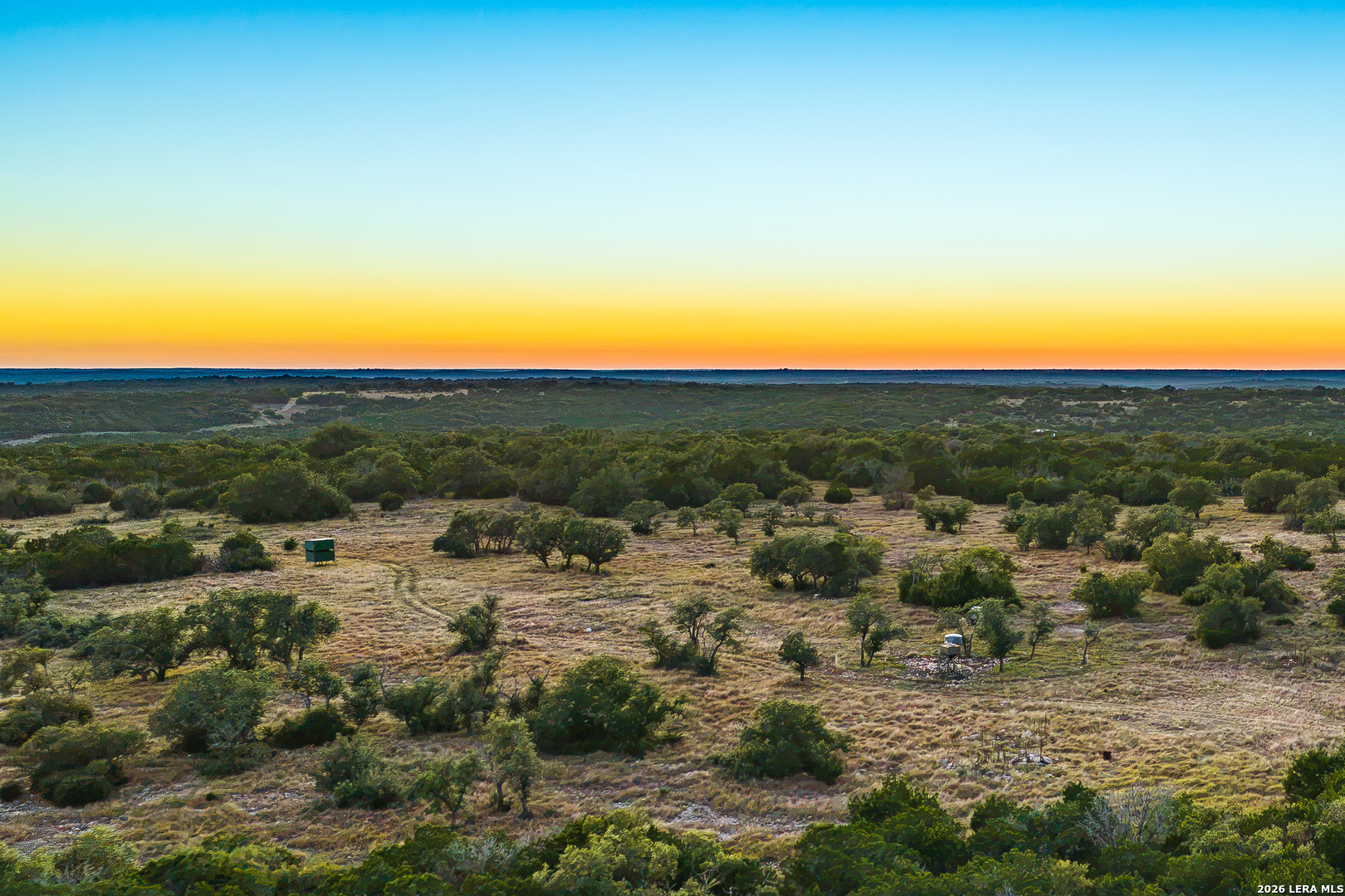
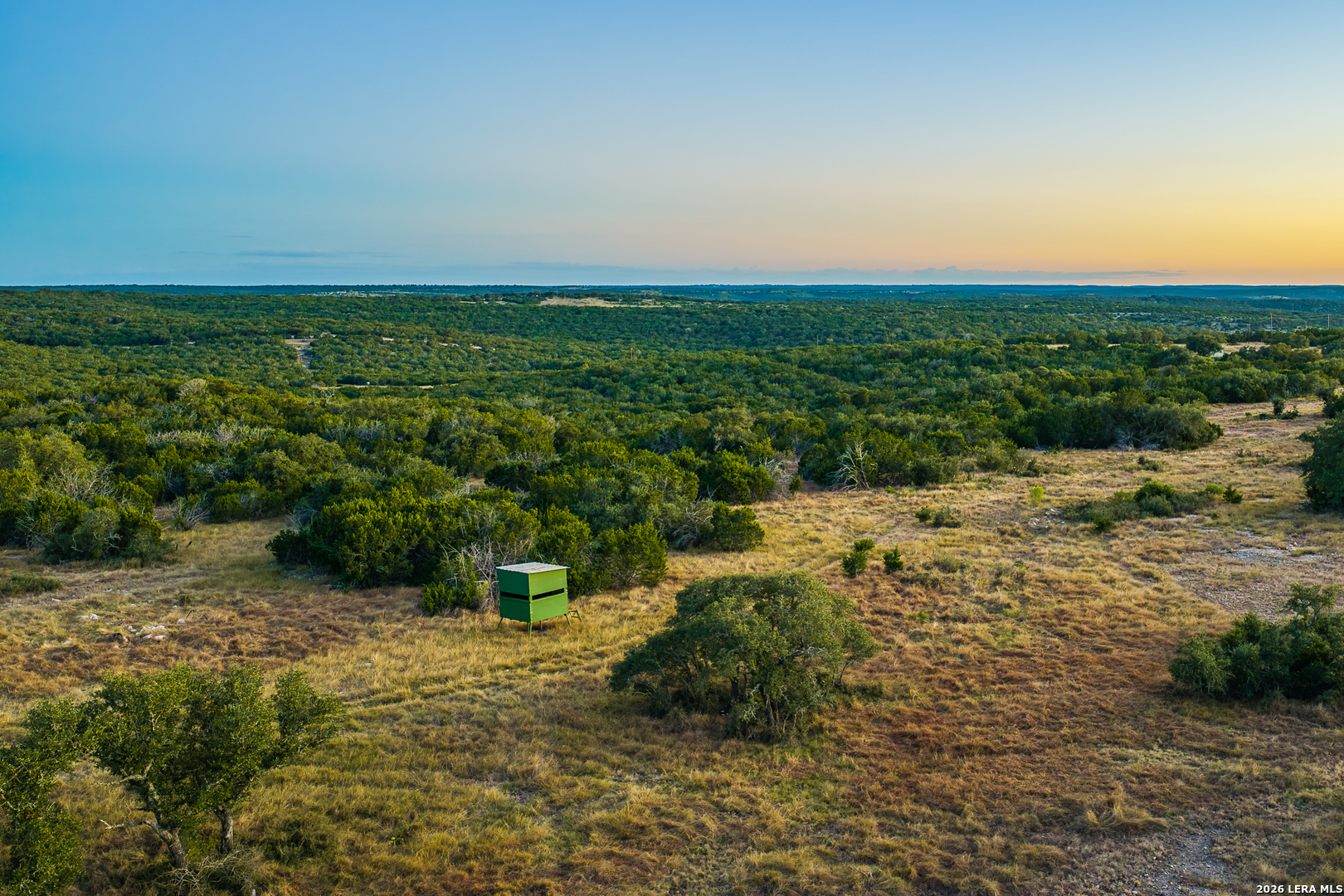
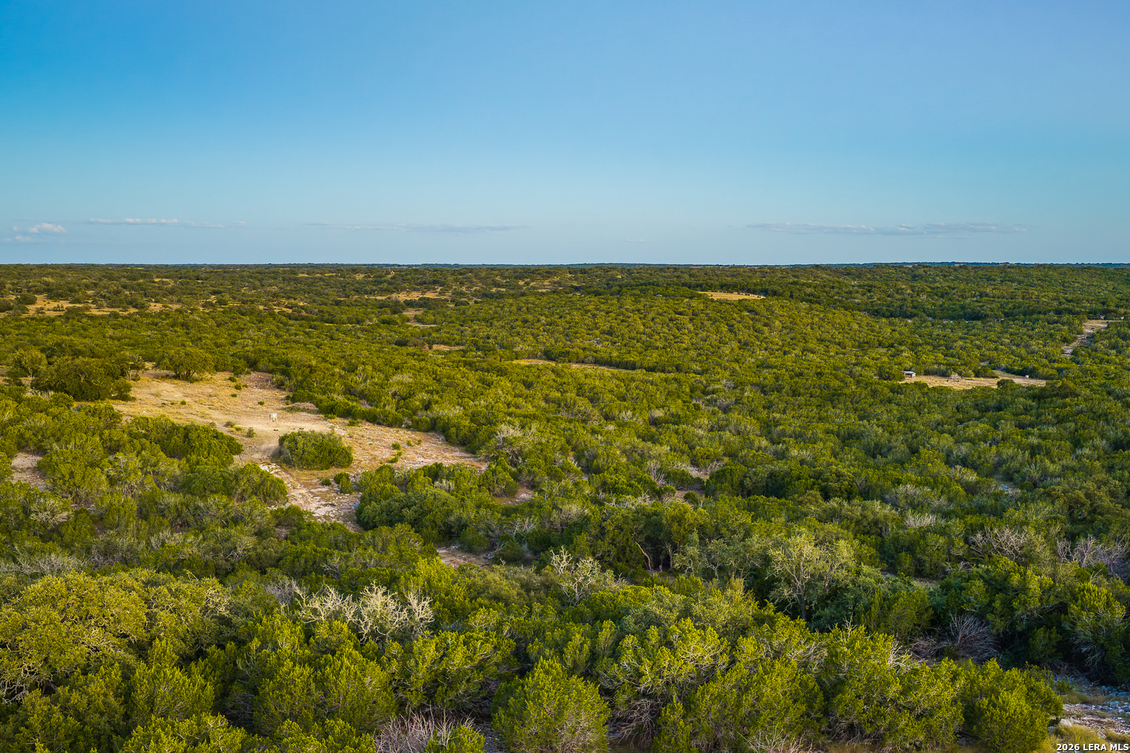
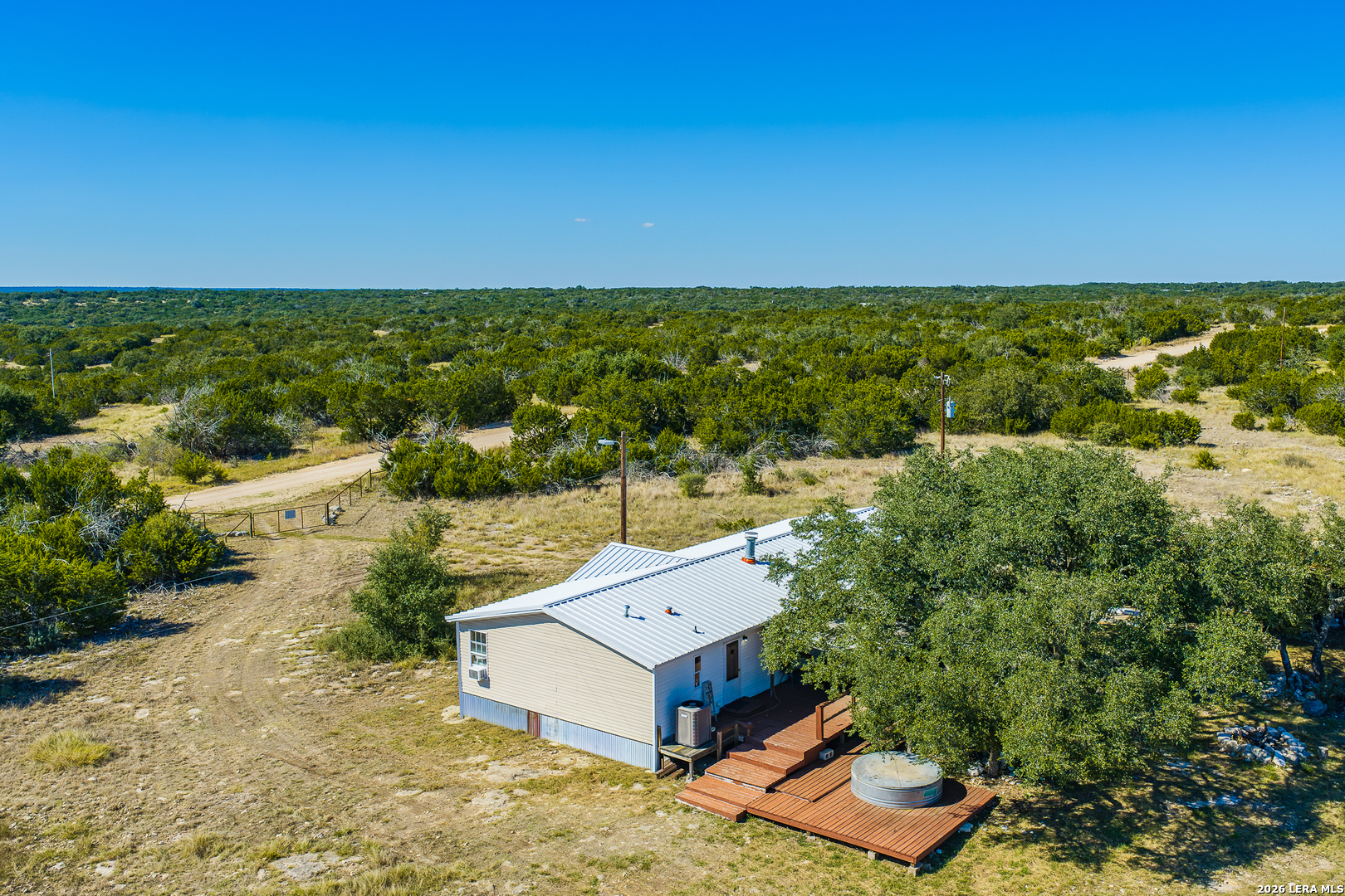
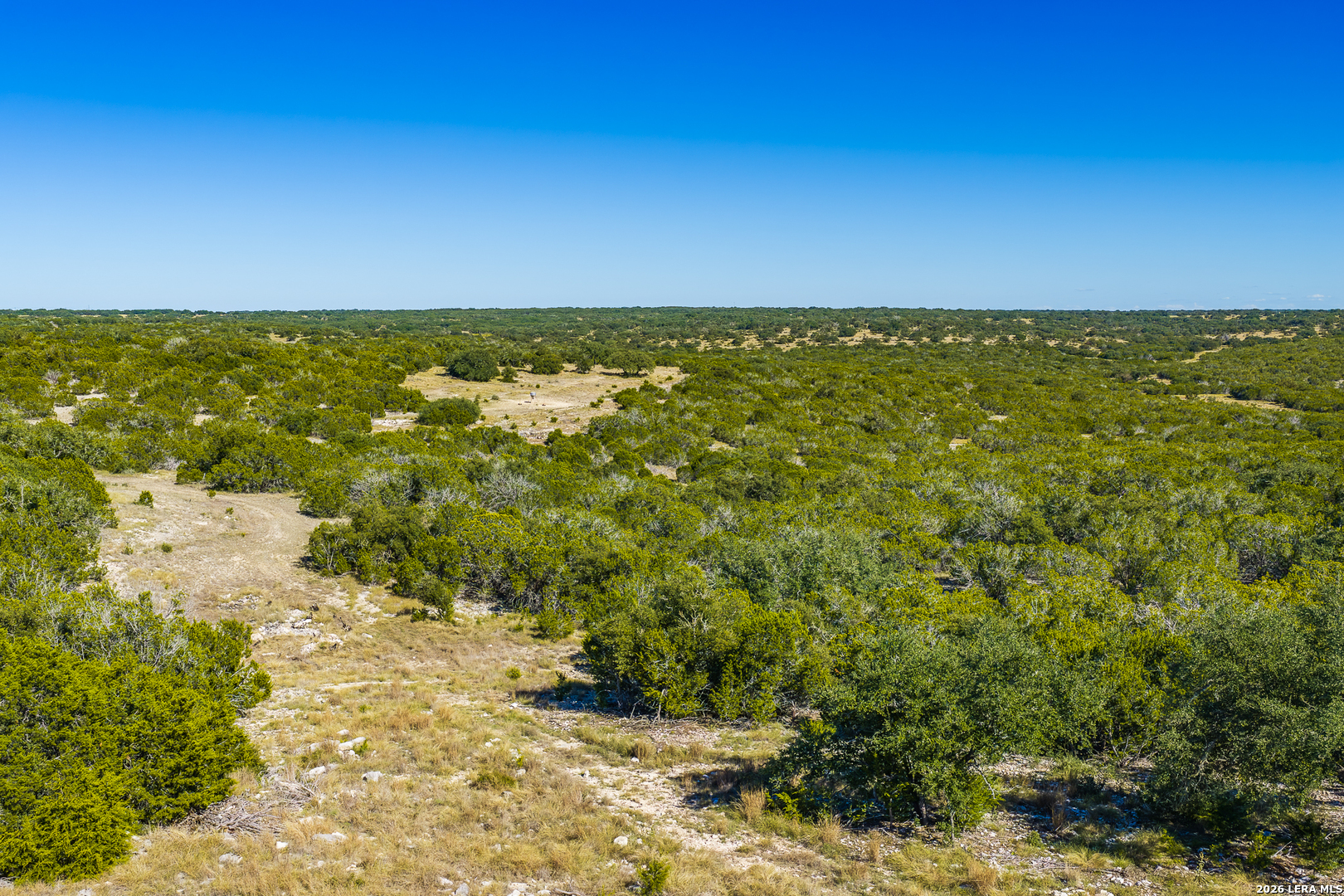
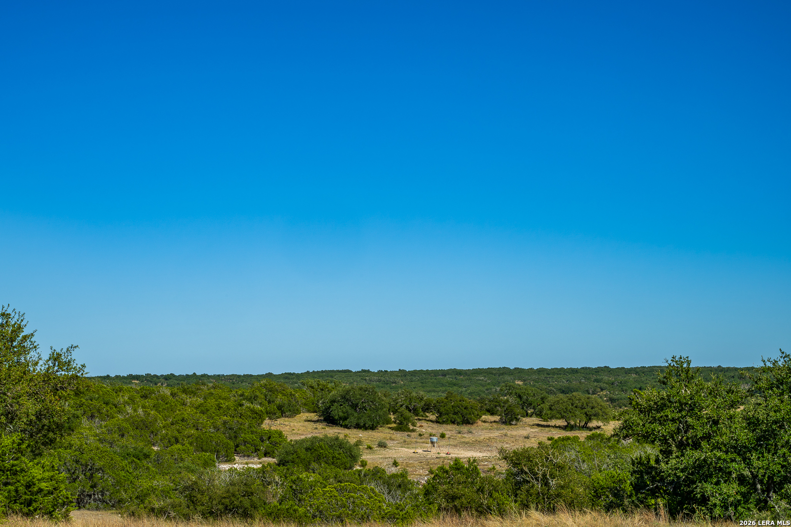
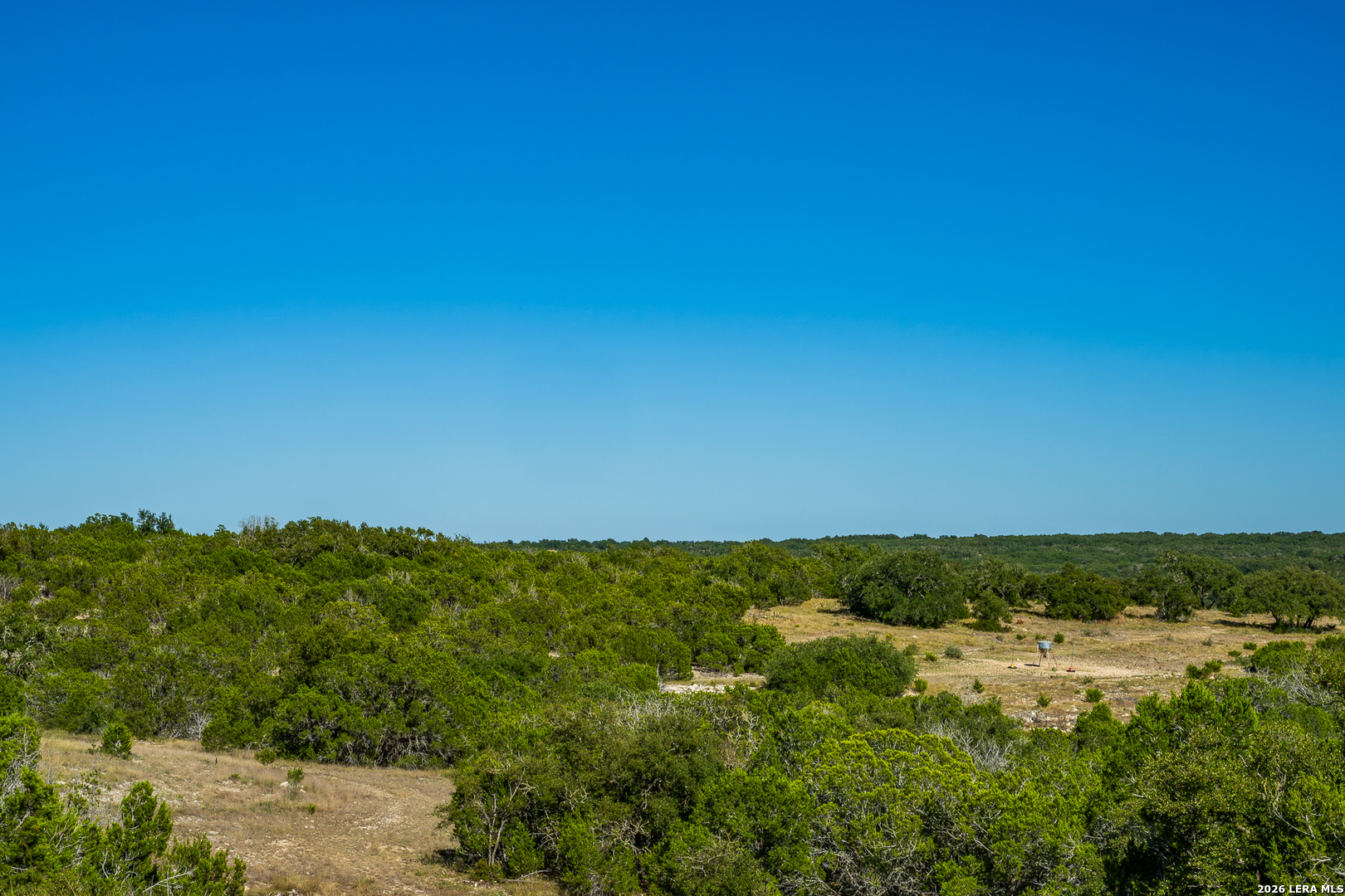
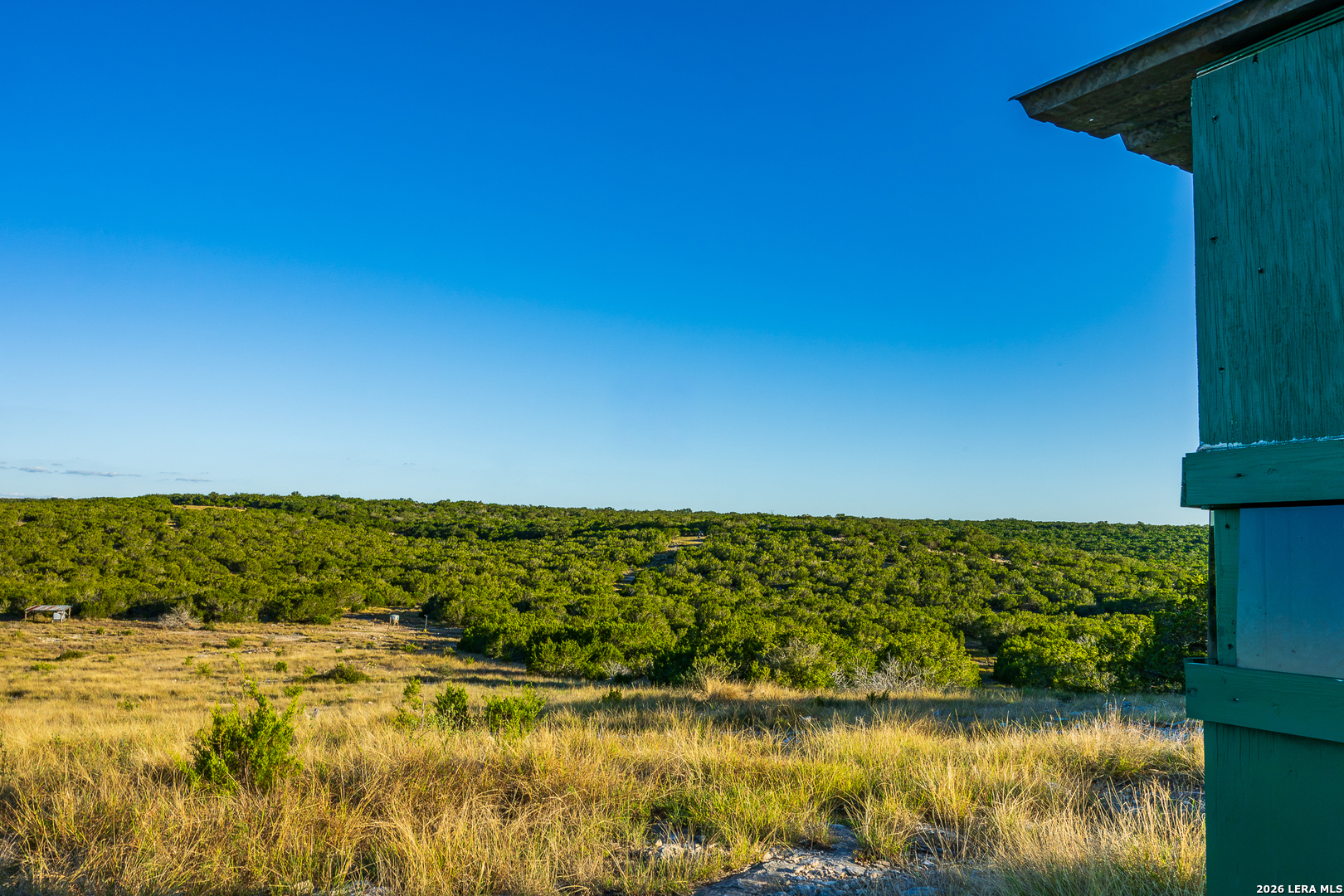
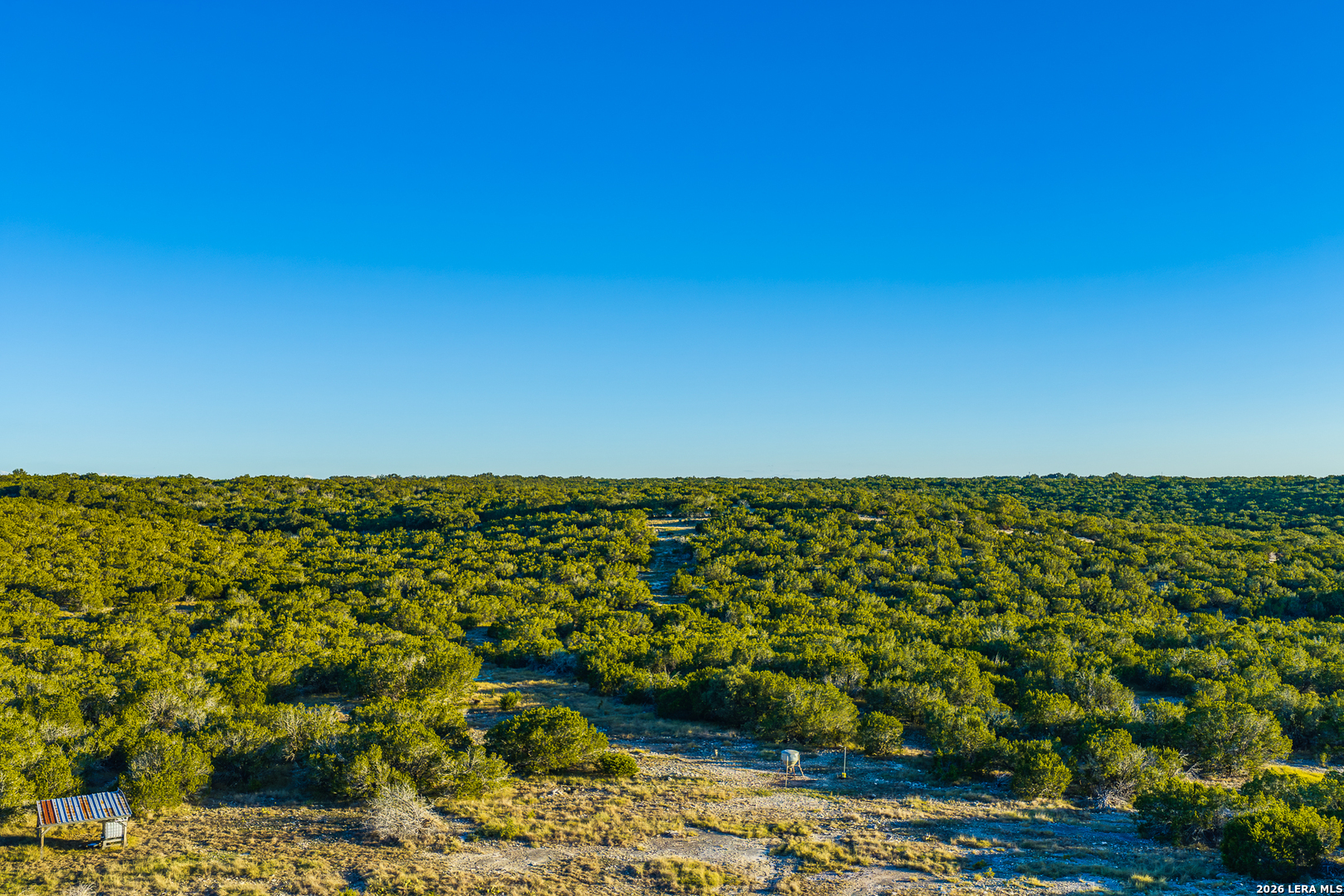
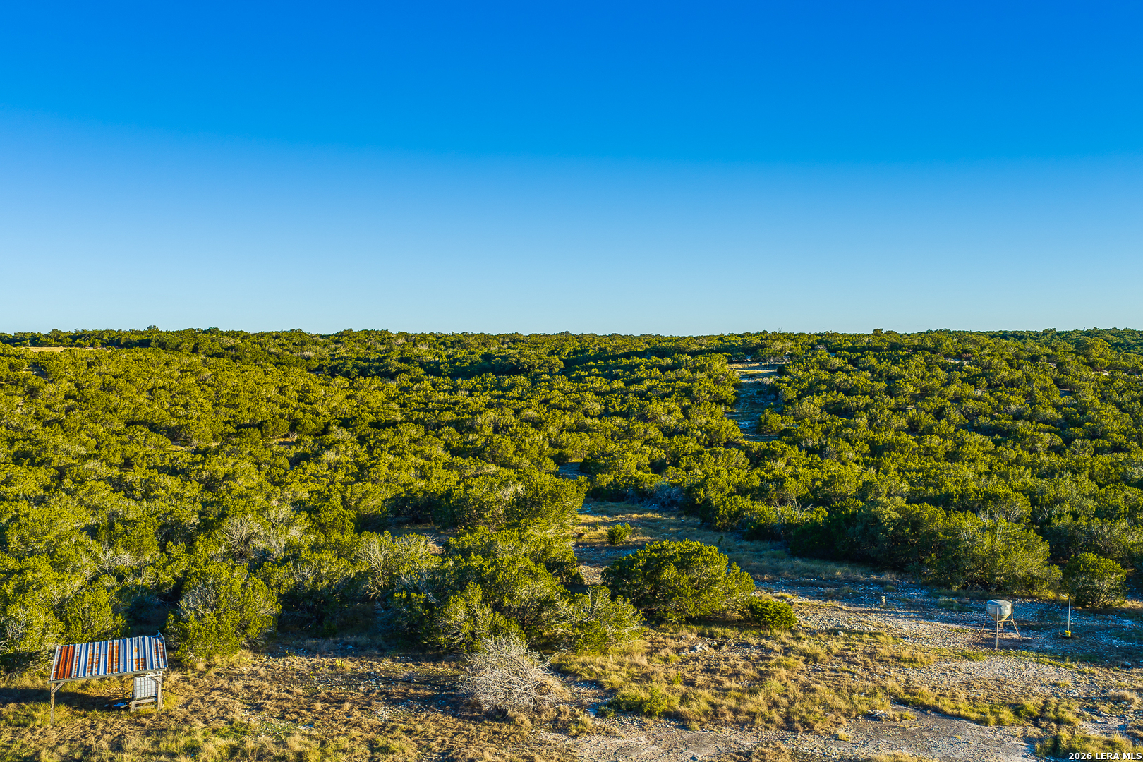
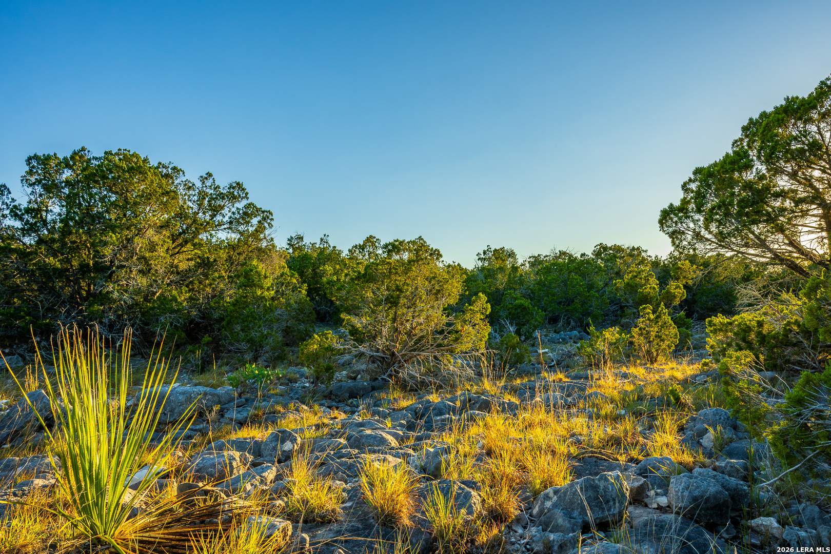
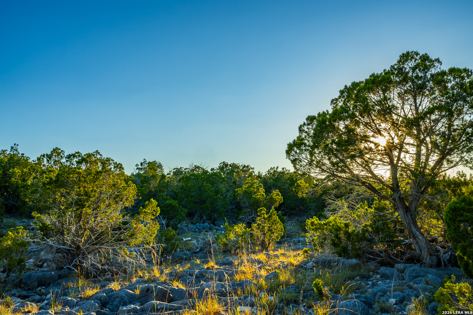
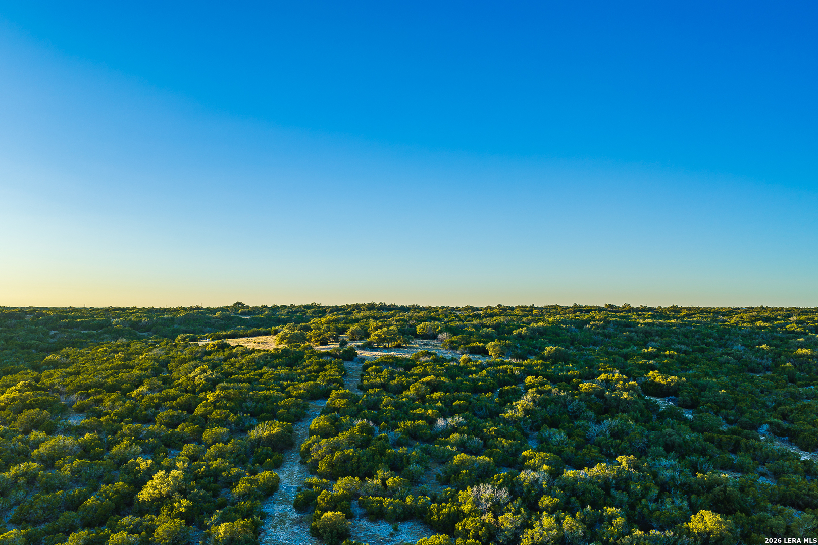
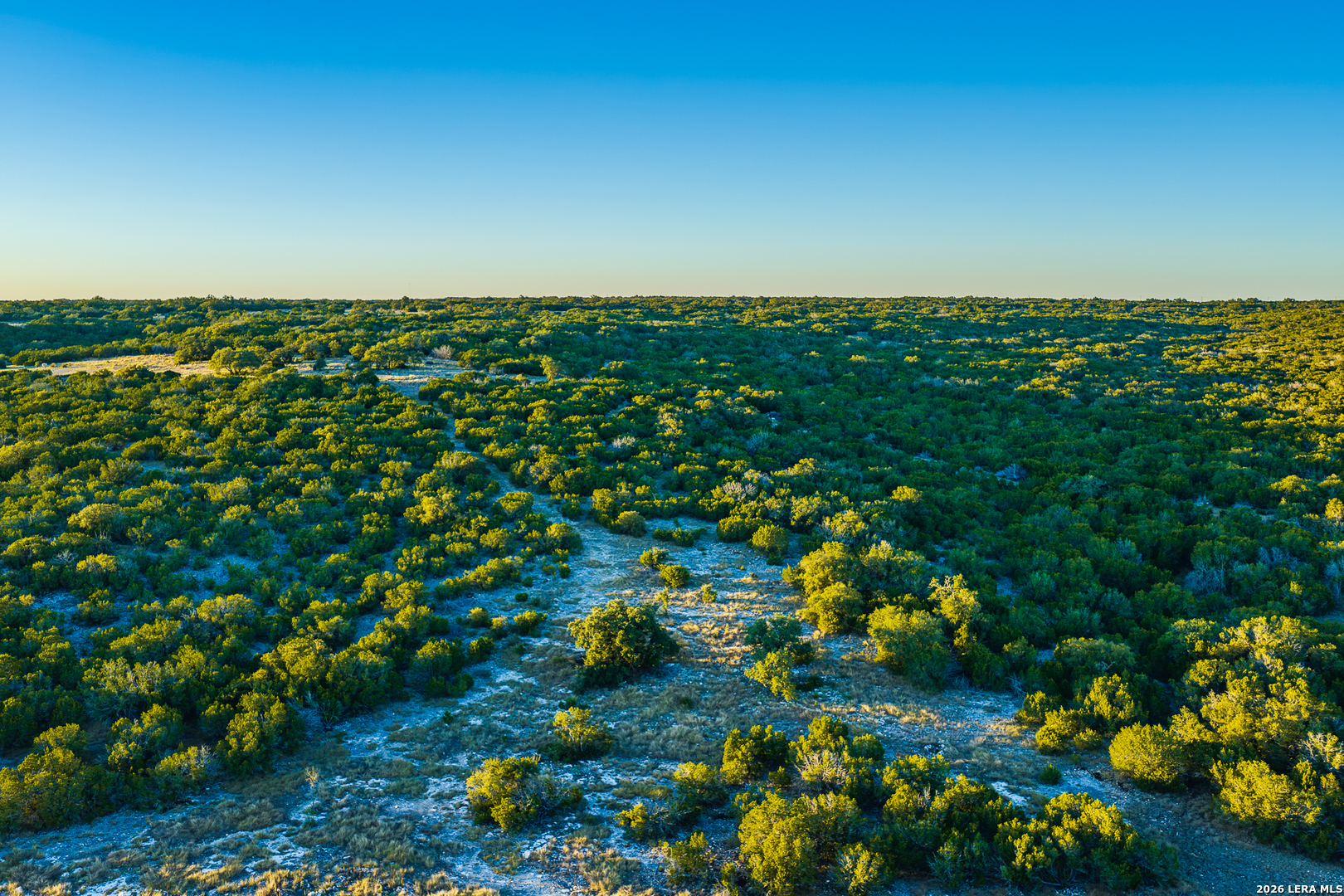
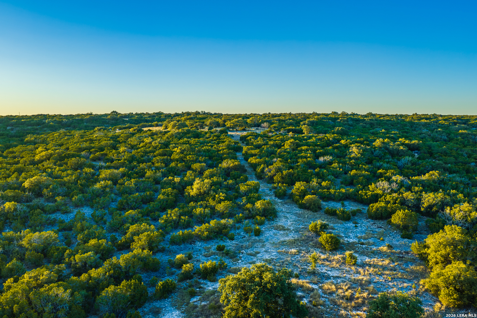
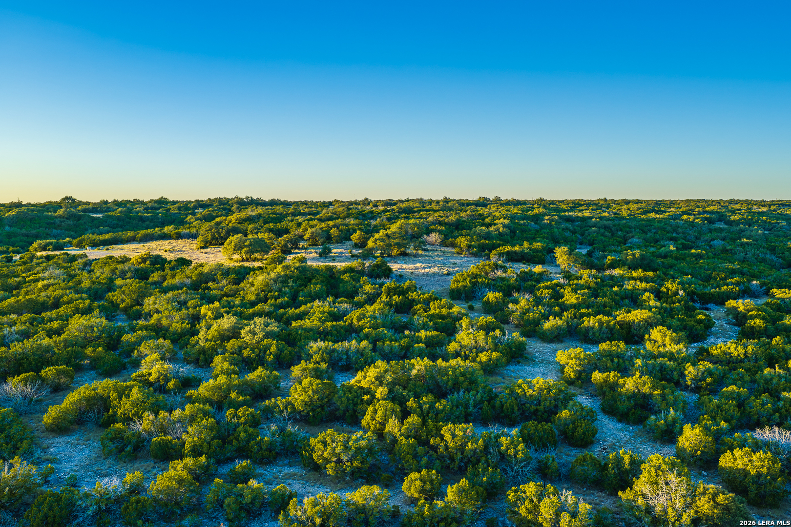
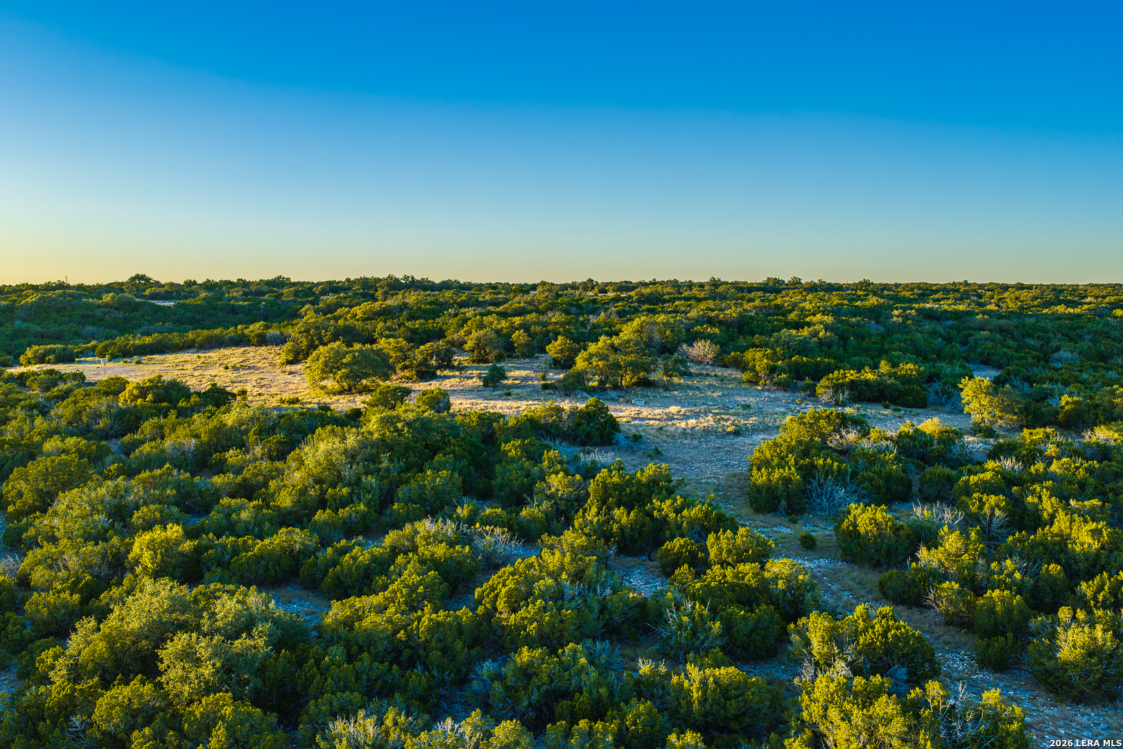
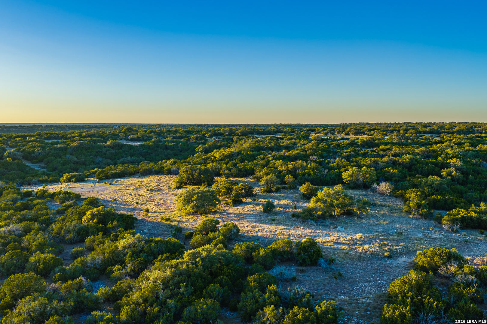
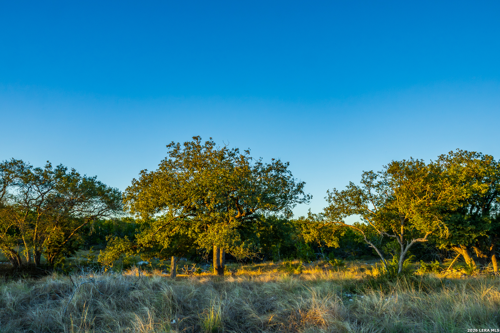
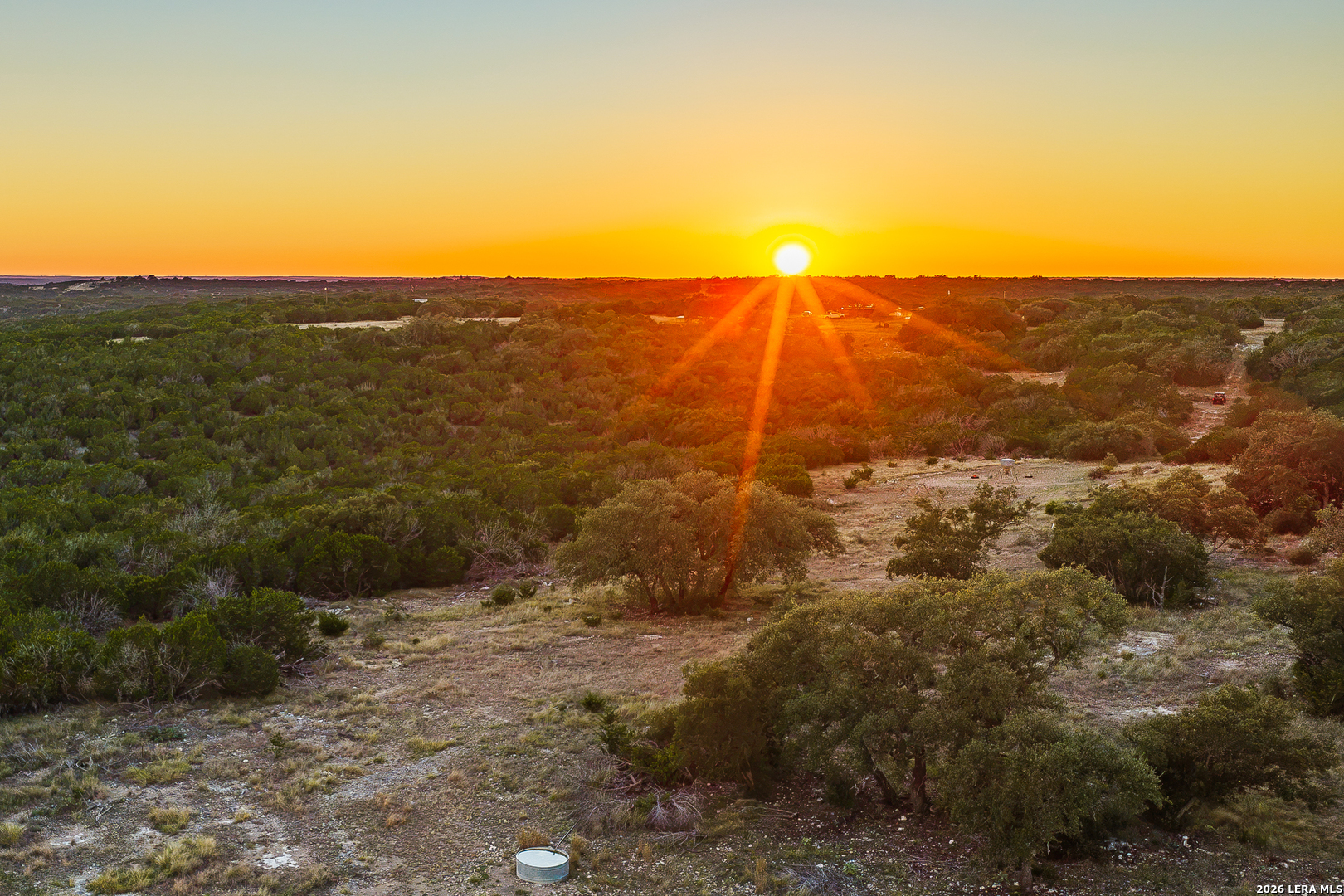
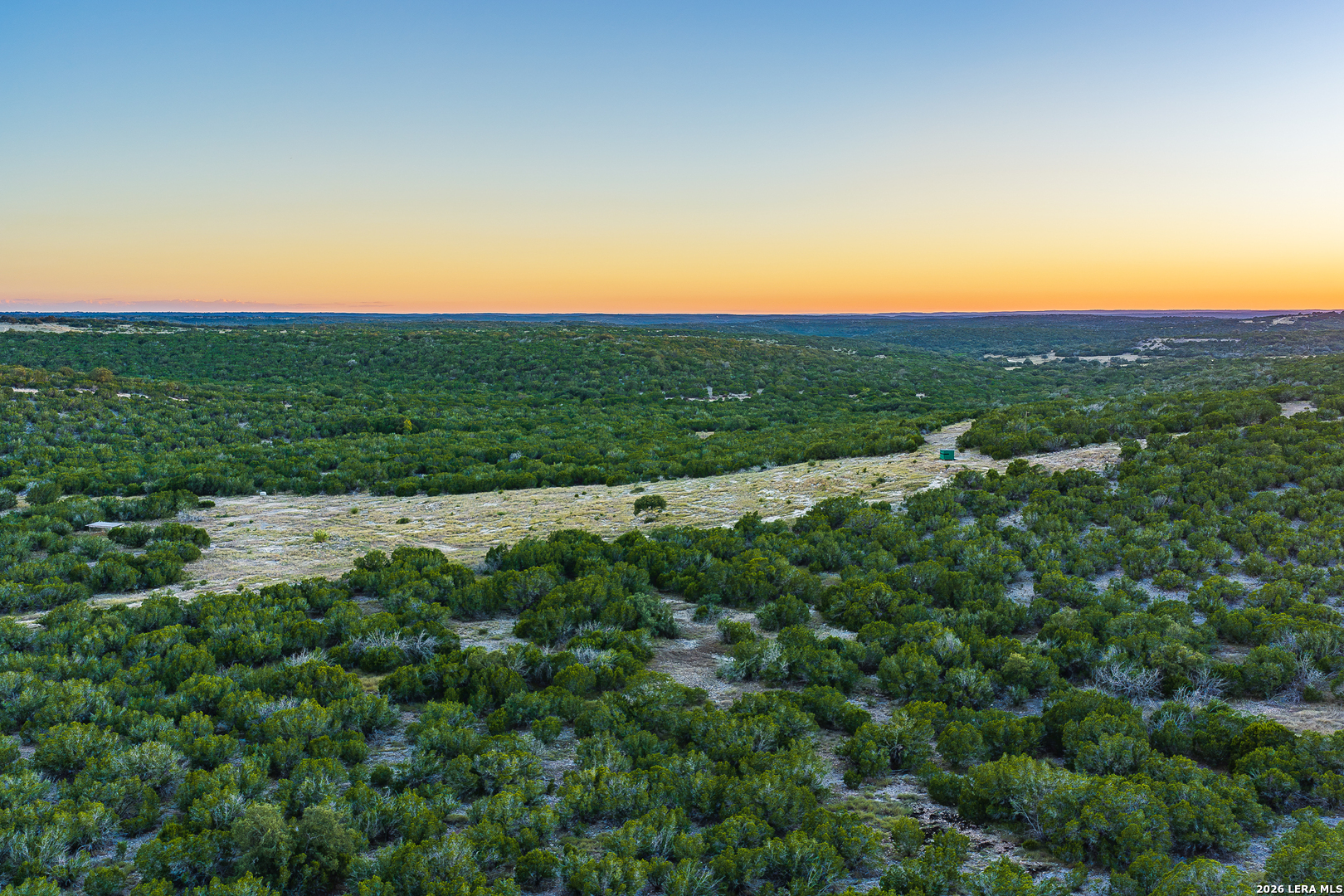
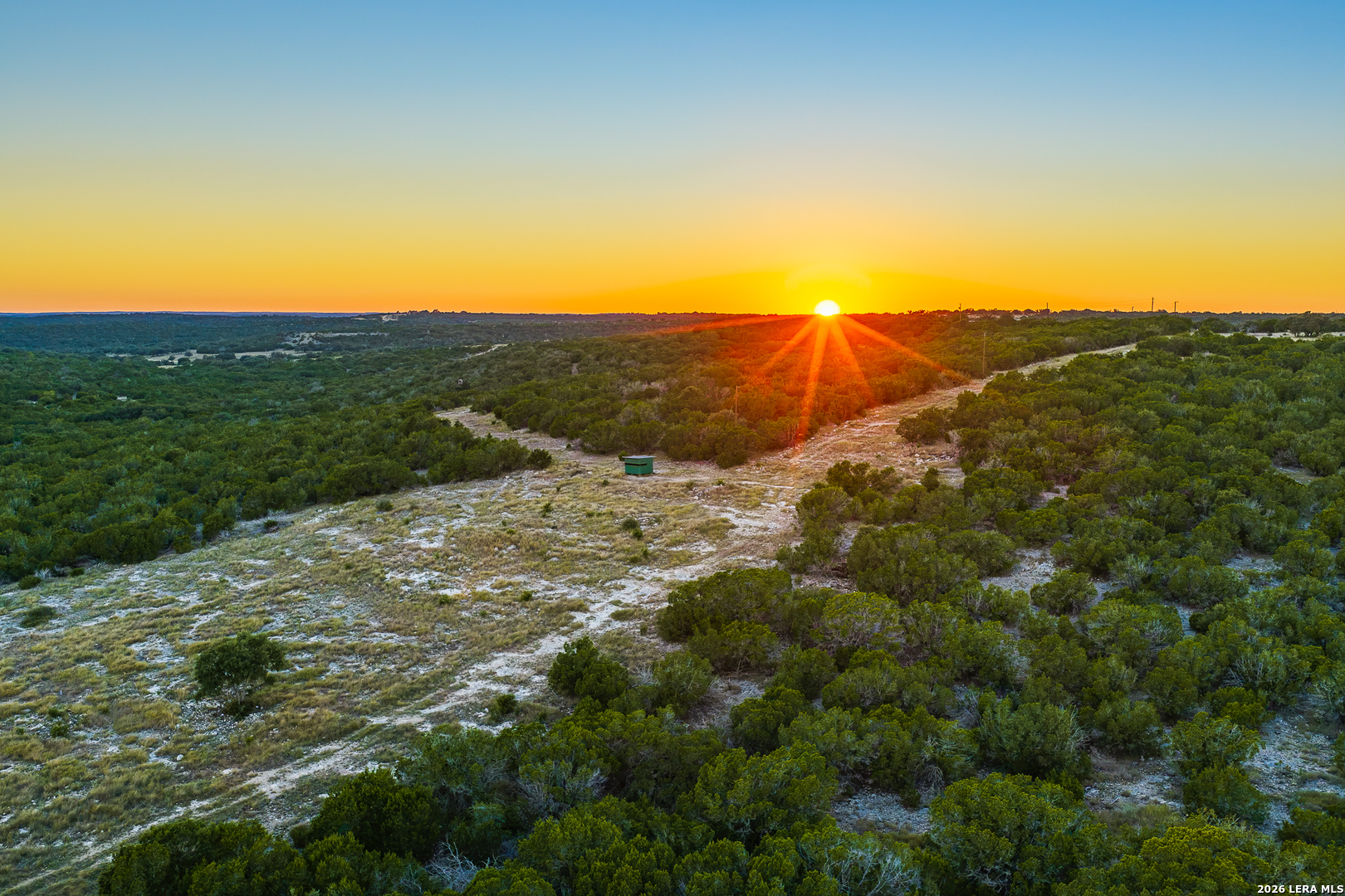
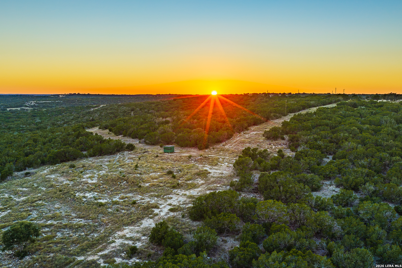
Just off Highway 41, in a quiet corner of northern Real County, Blind Turkey Ranch invites you to slow down and take in the landscape. Across its 294.08 acres of Edwards Plateau country, broad ridges and elevated shoulders open to sweeping, unobstructed views, while winding draws and native cover create more sheltered places to explore. The terrain gives the ranch a changing character as you move through it—open and far-reaching from above, intimate and tucked away below.
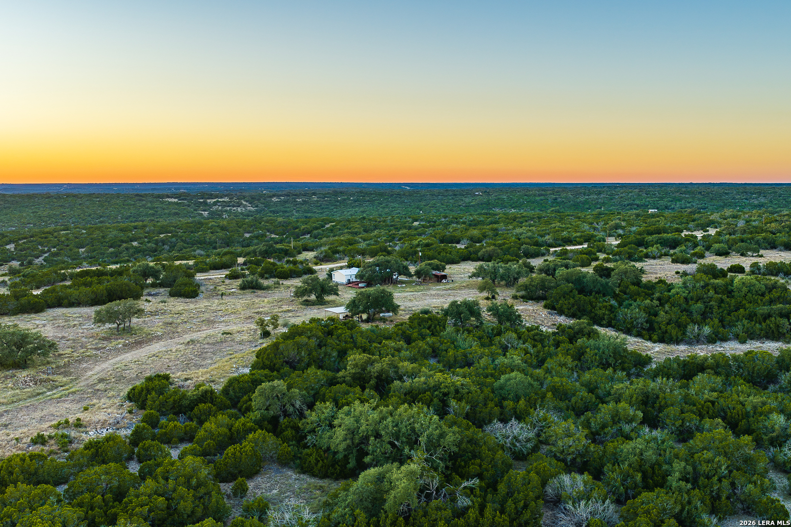
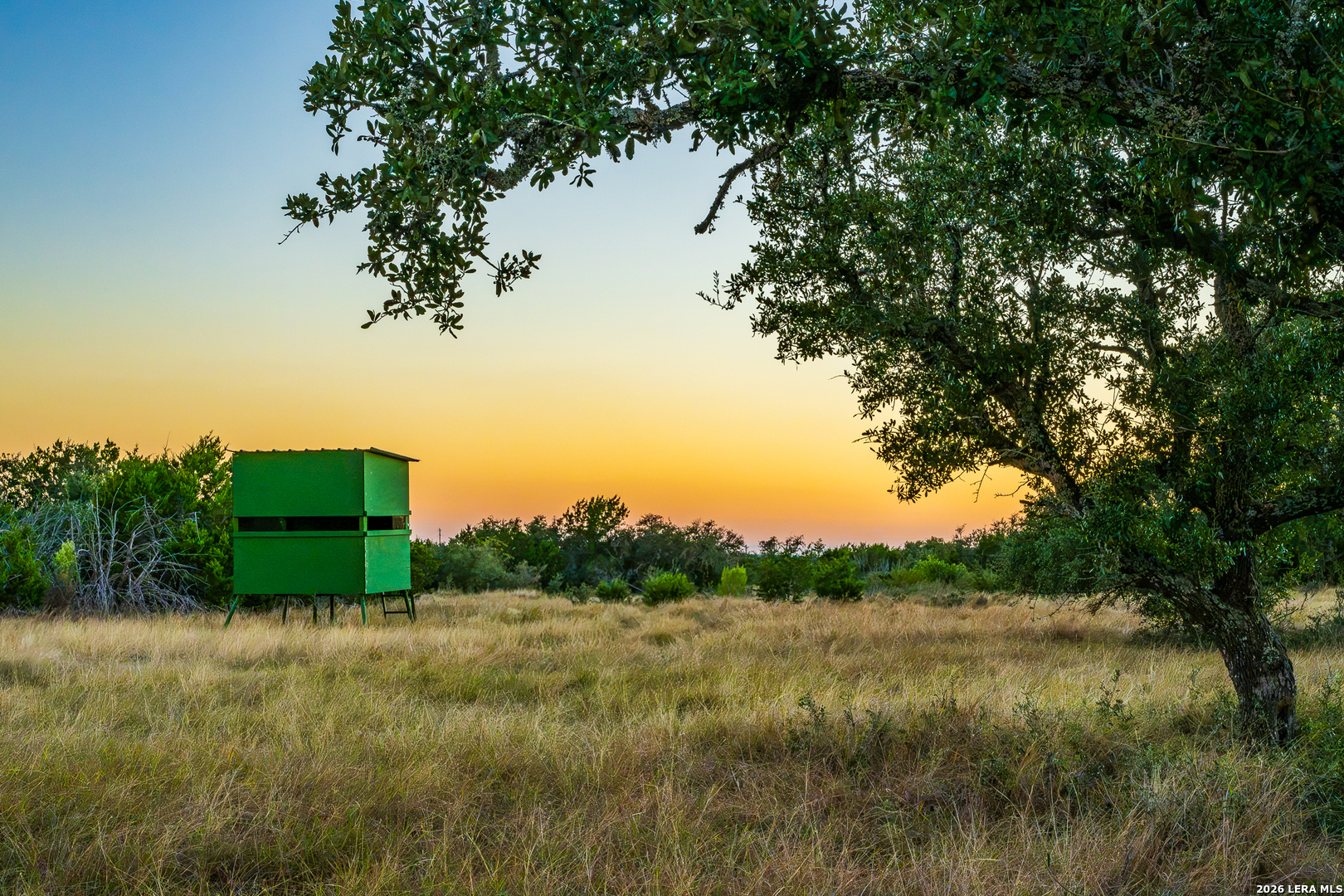
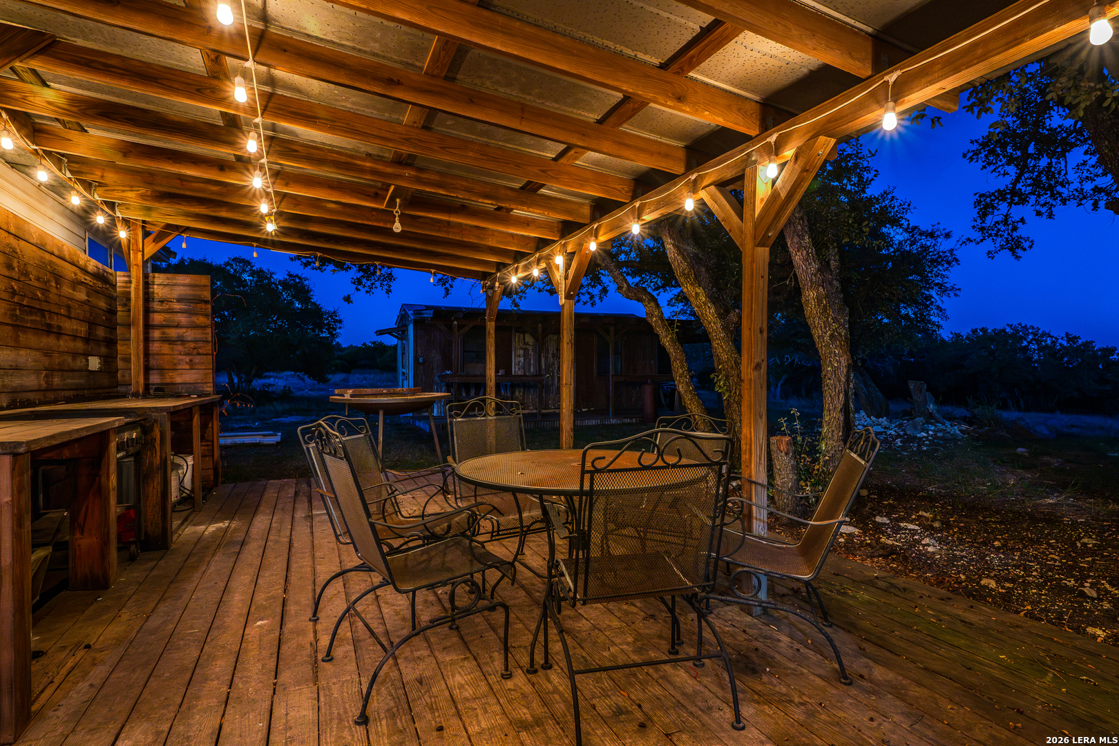
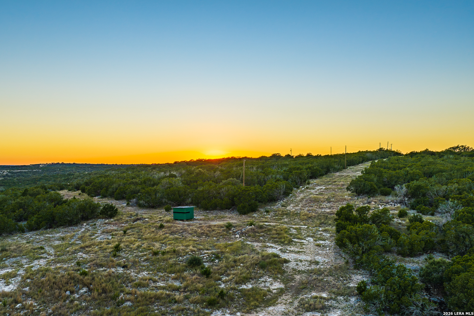
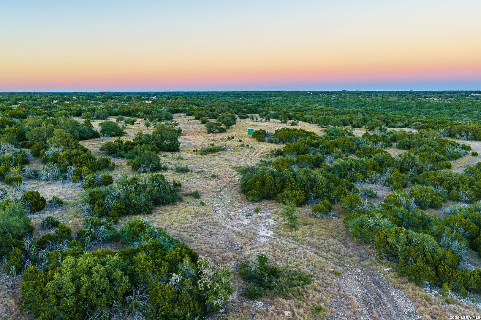
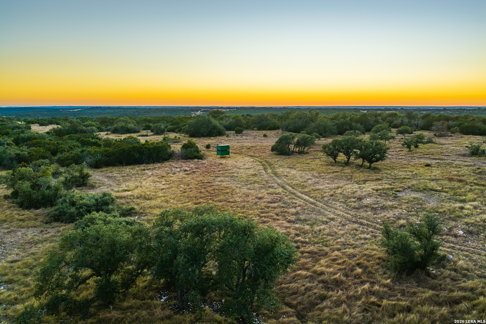
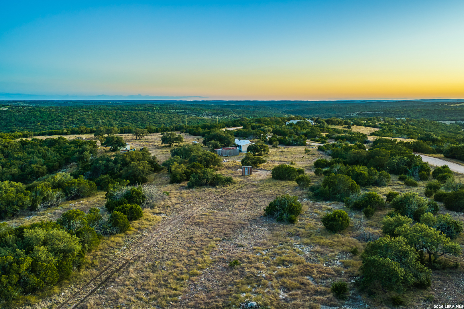
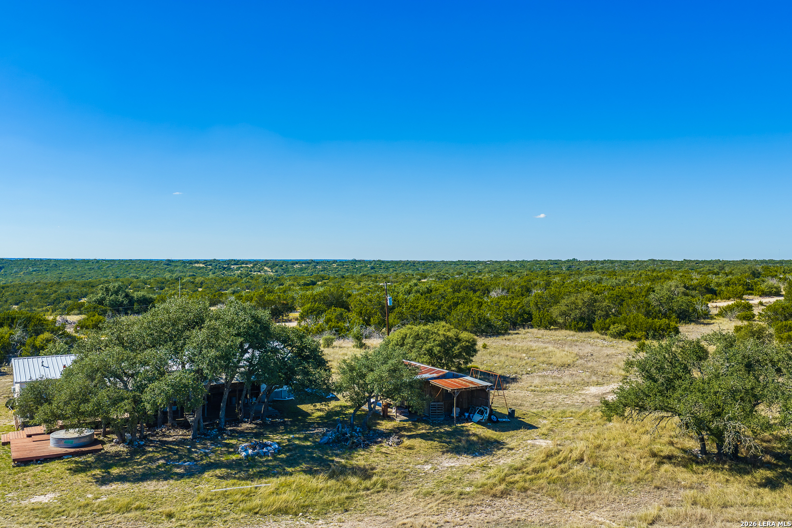
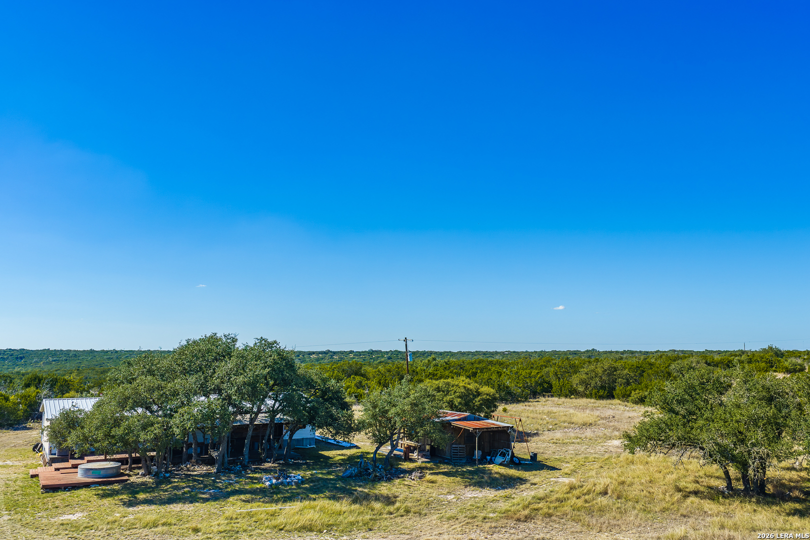
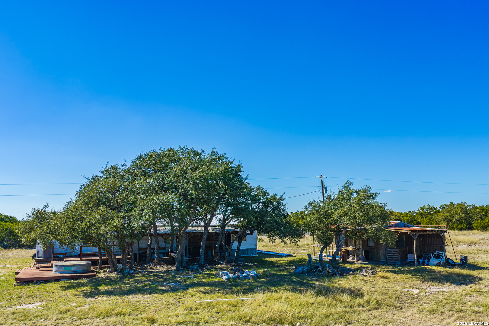
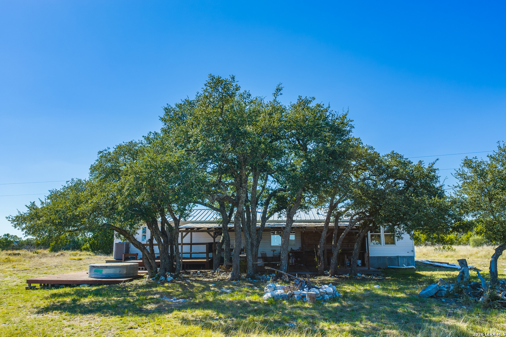
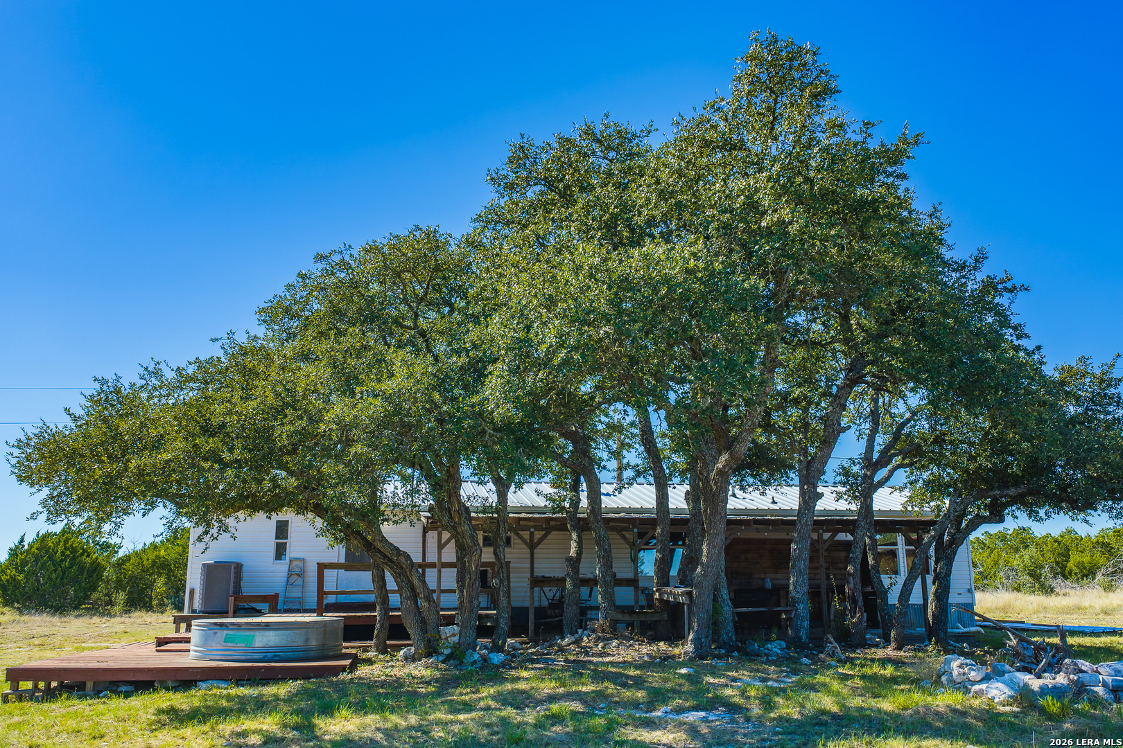
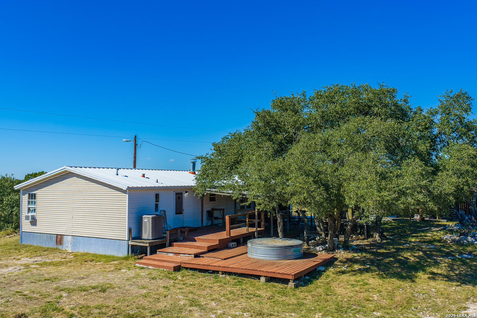
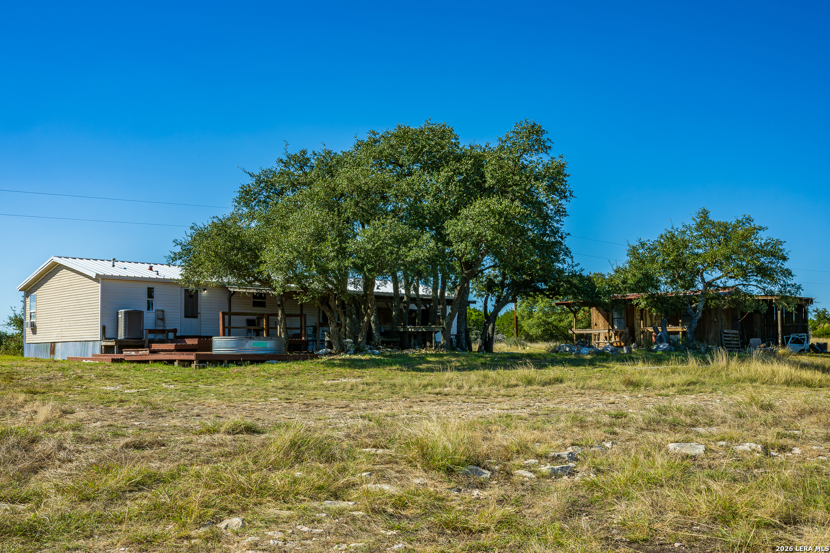
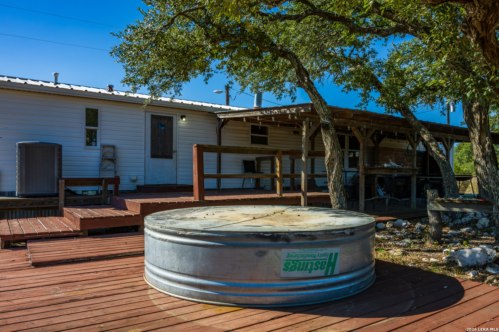
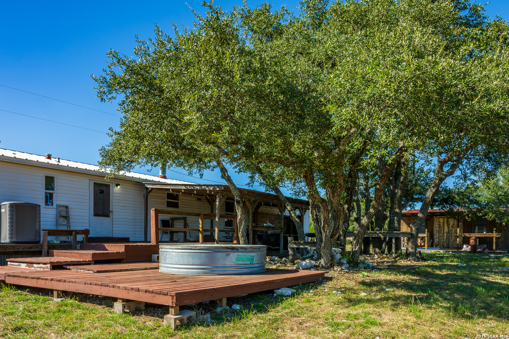
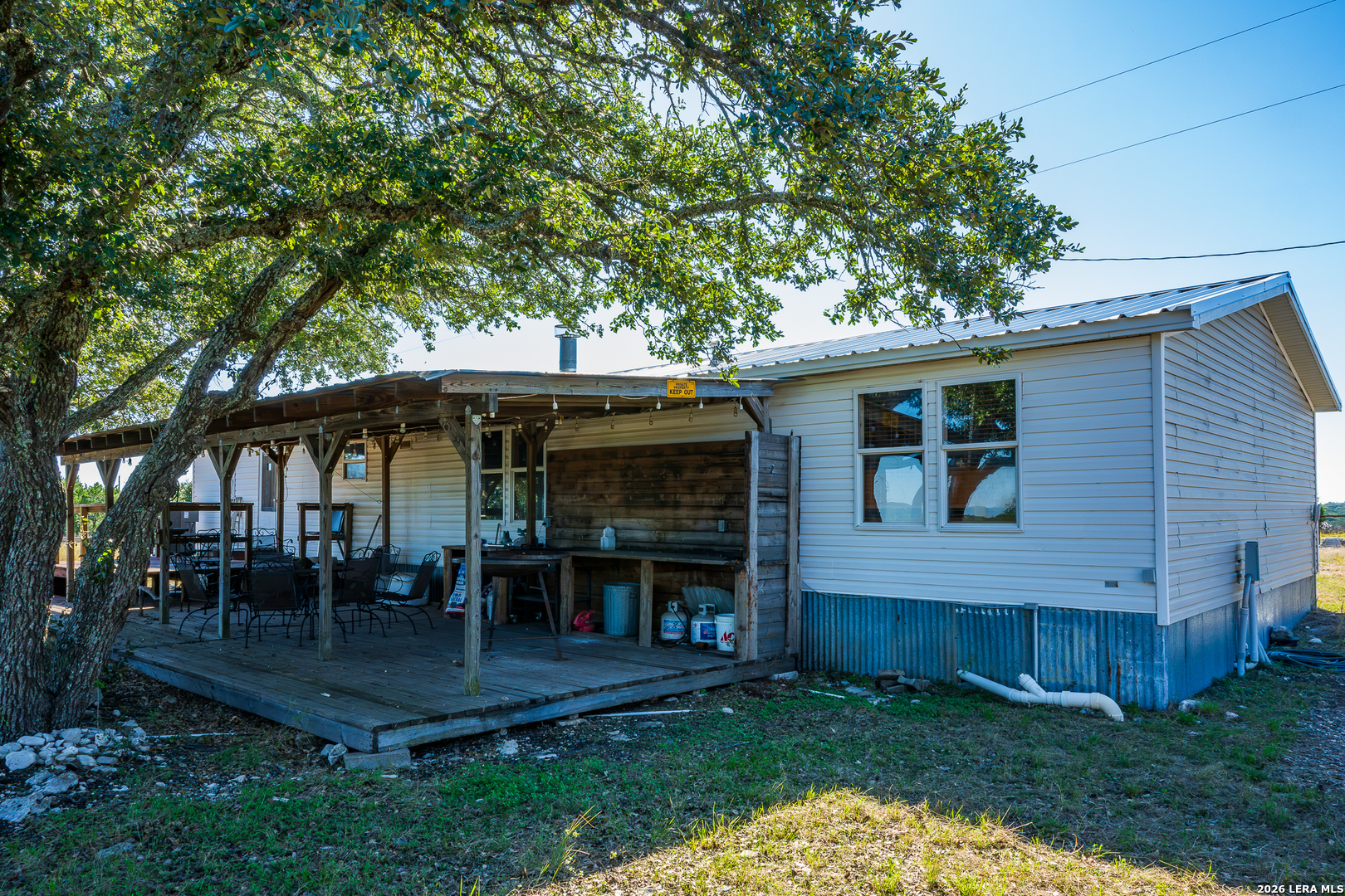
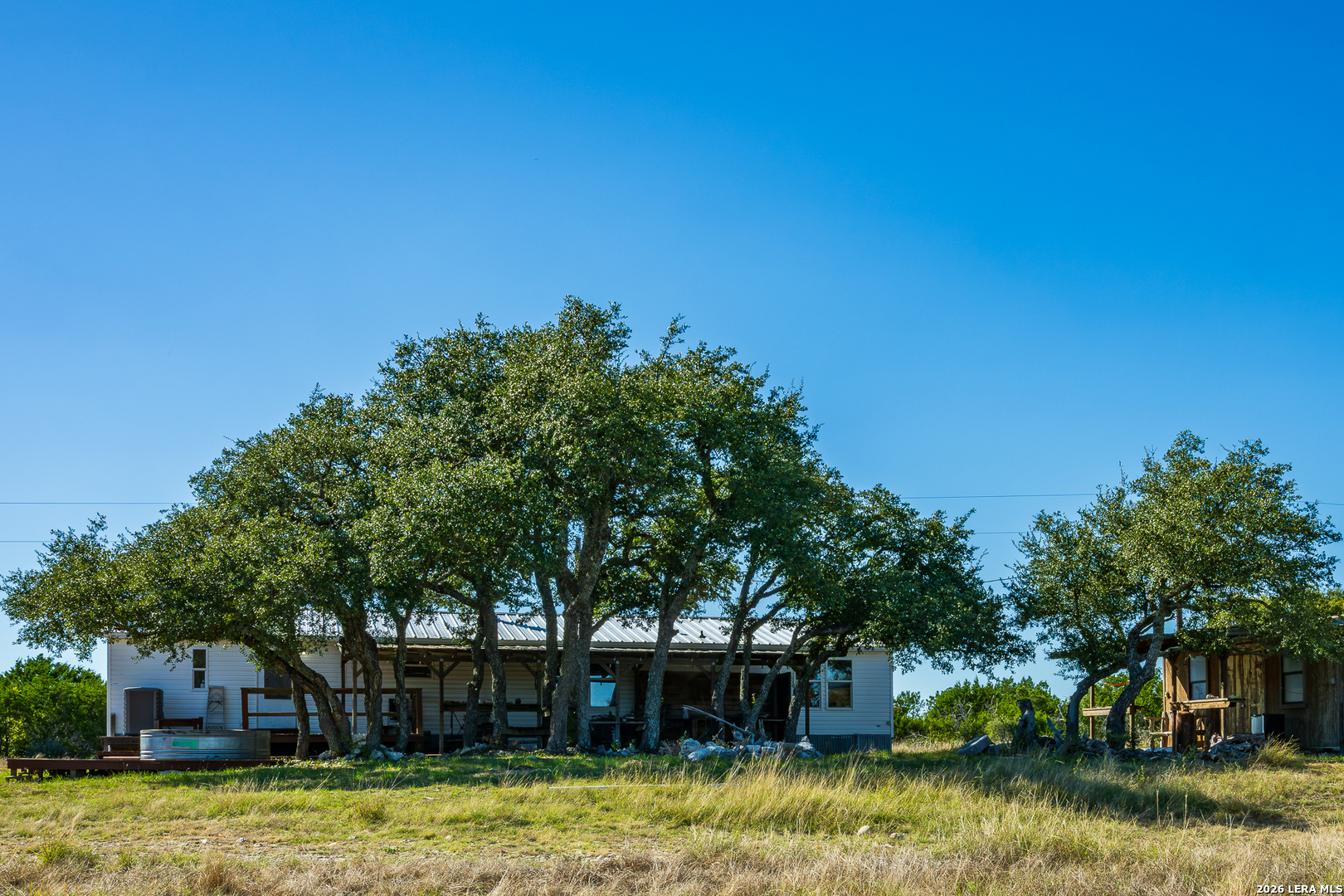
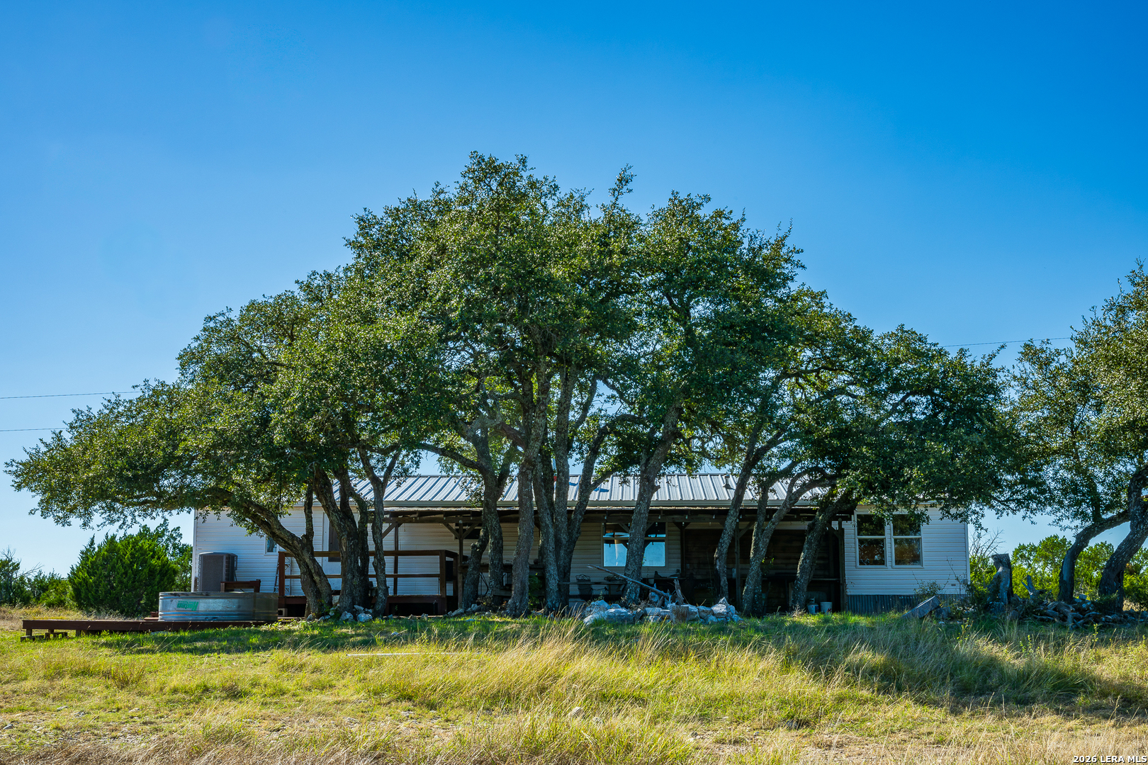
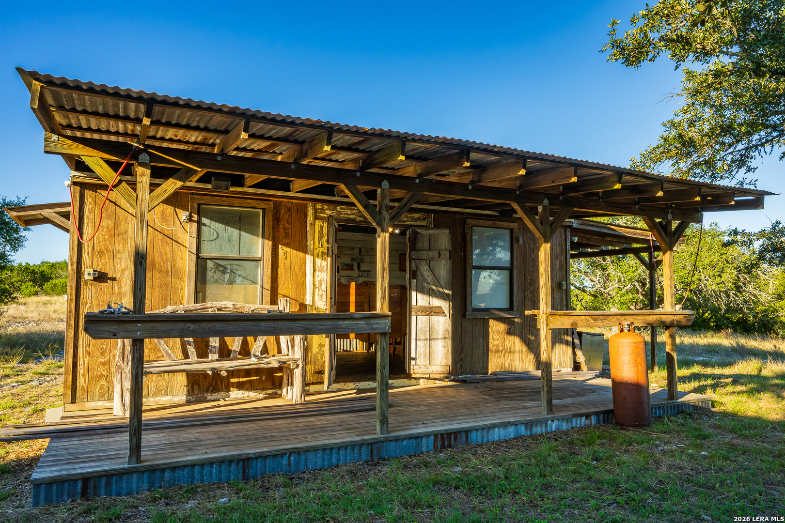
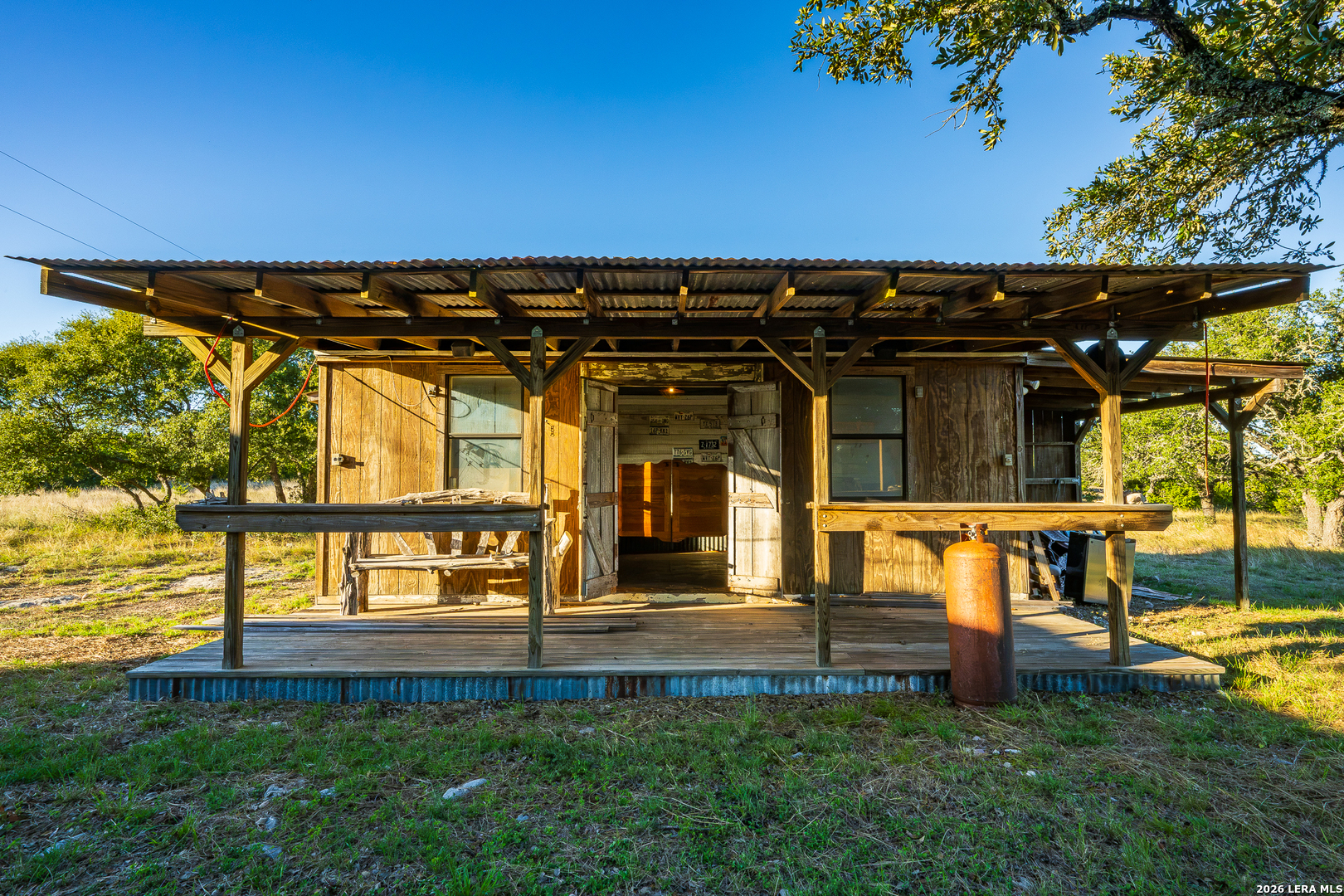
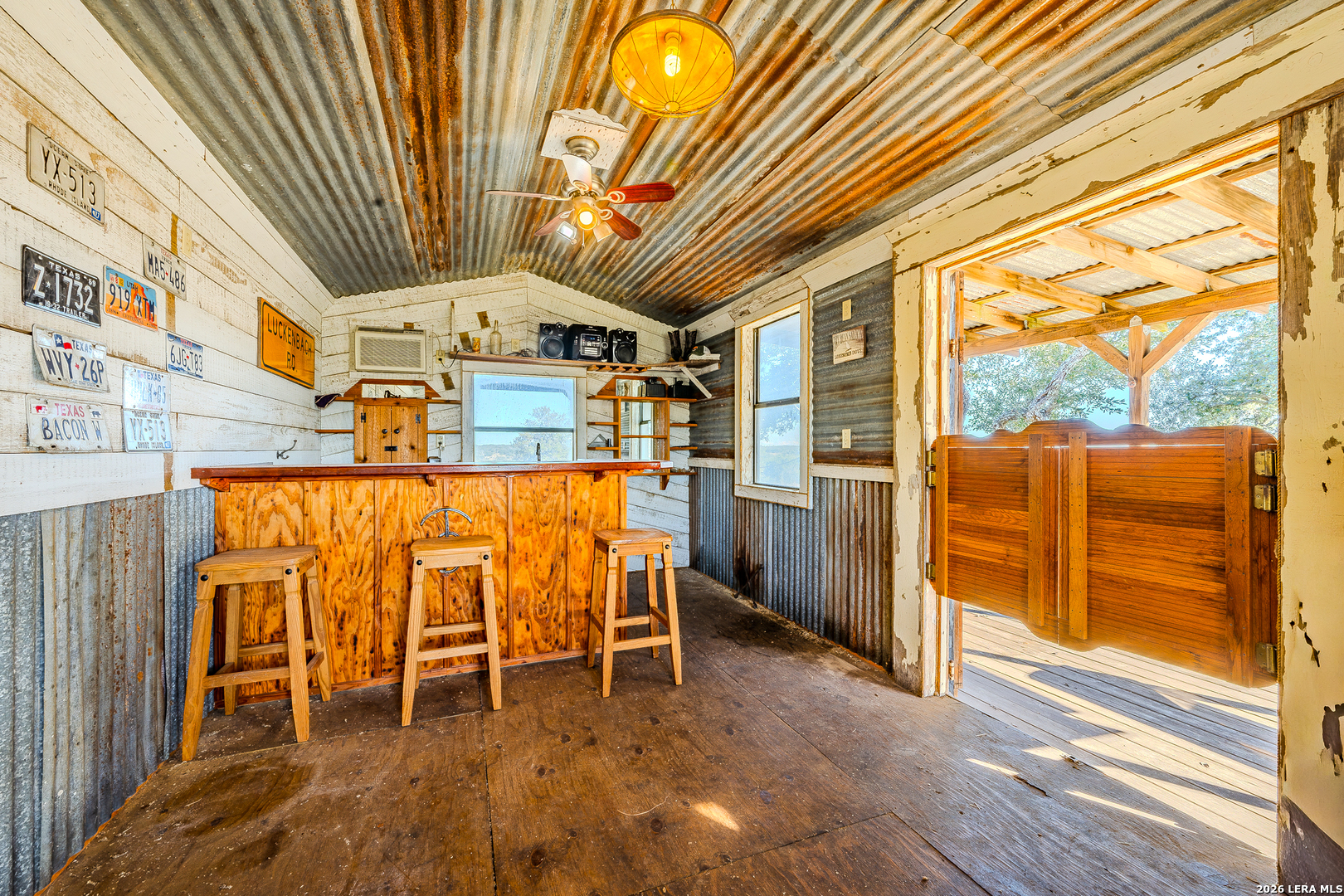
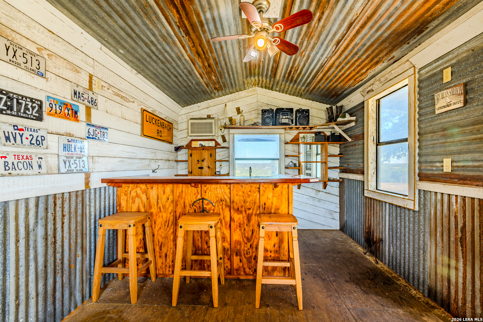
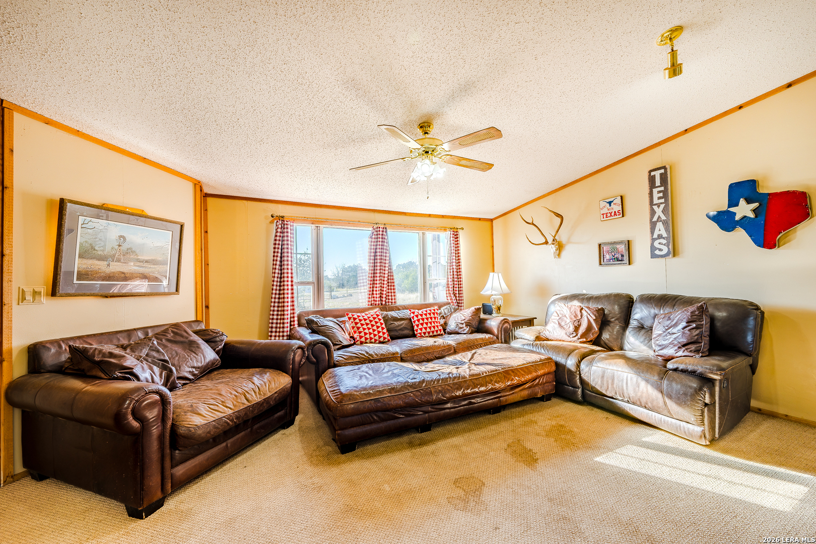
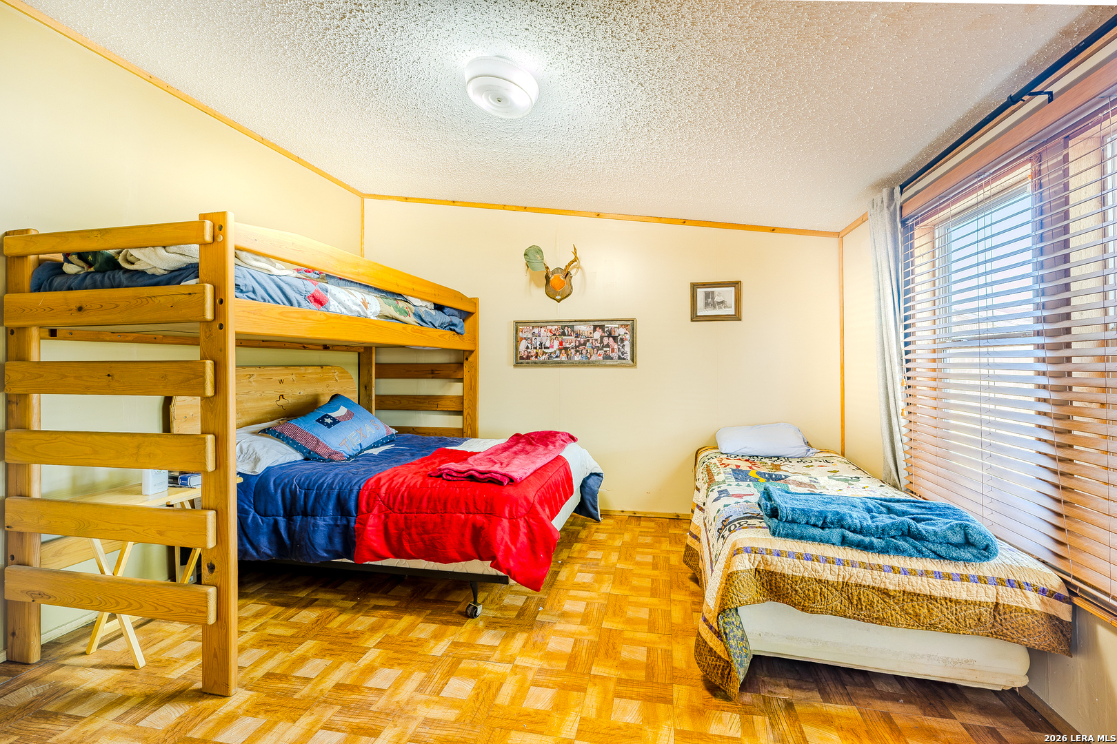
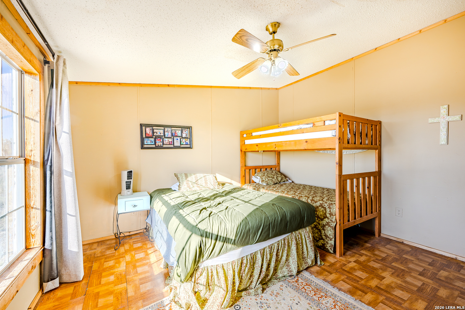
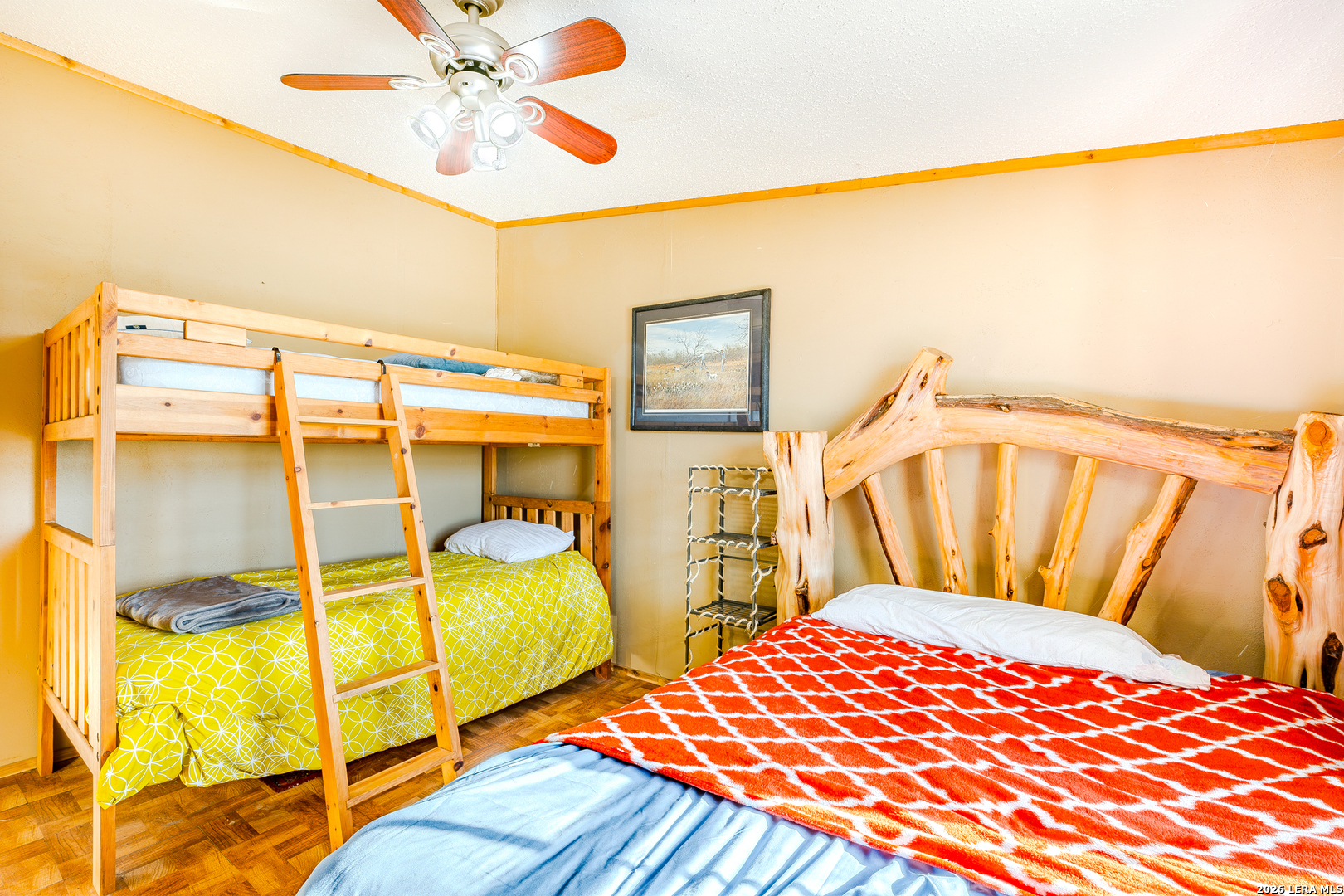
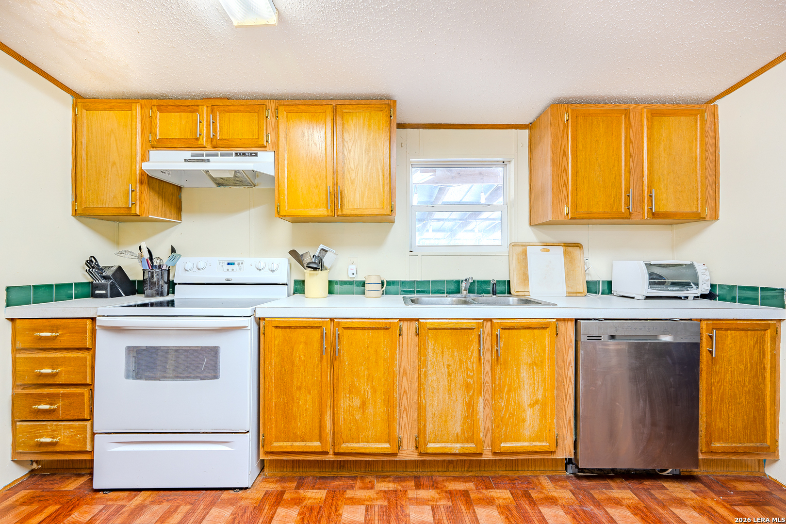
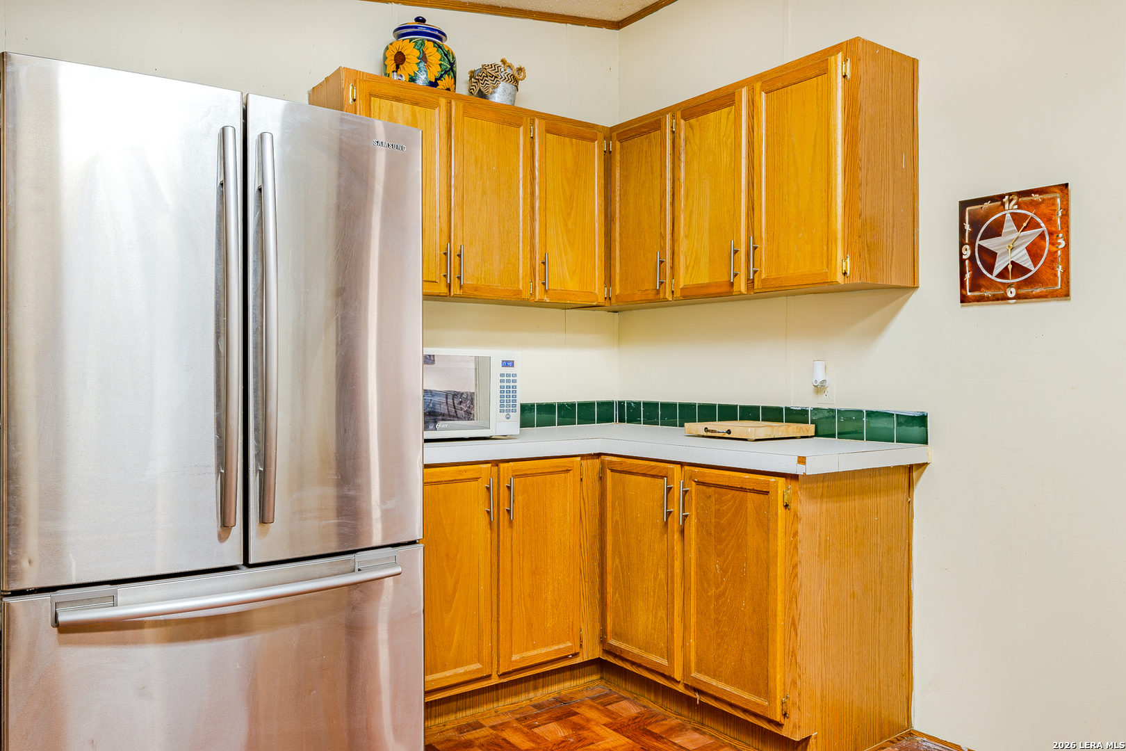
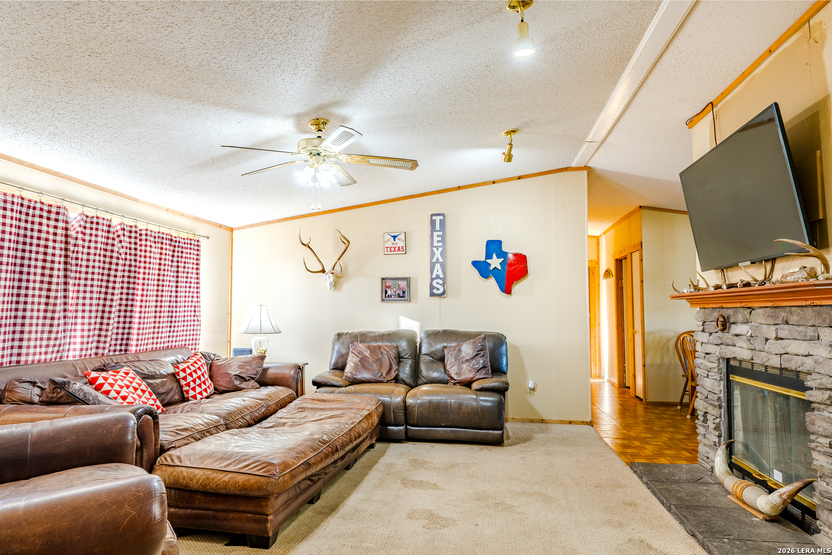
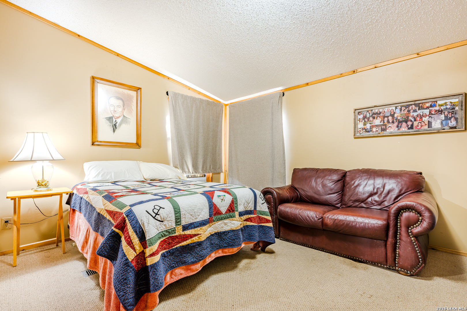
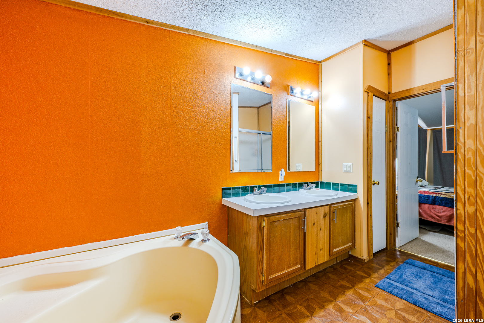
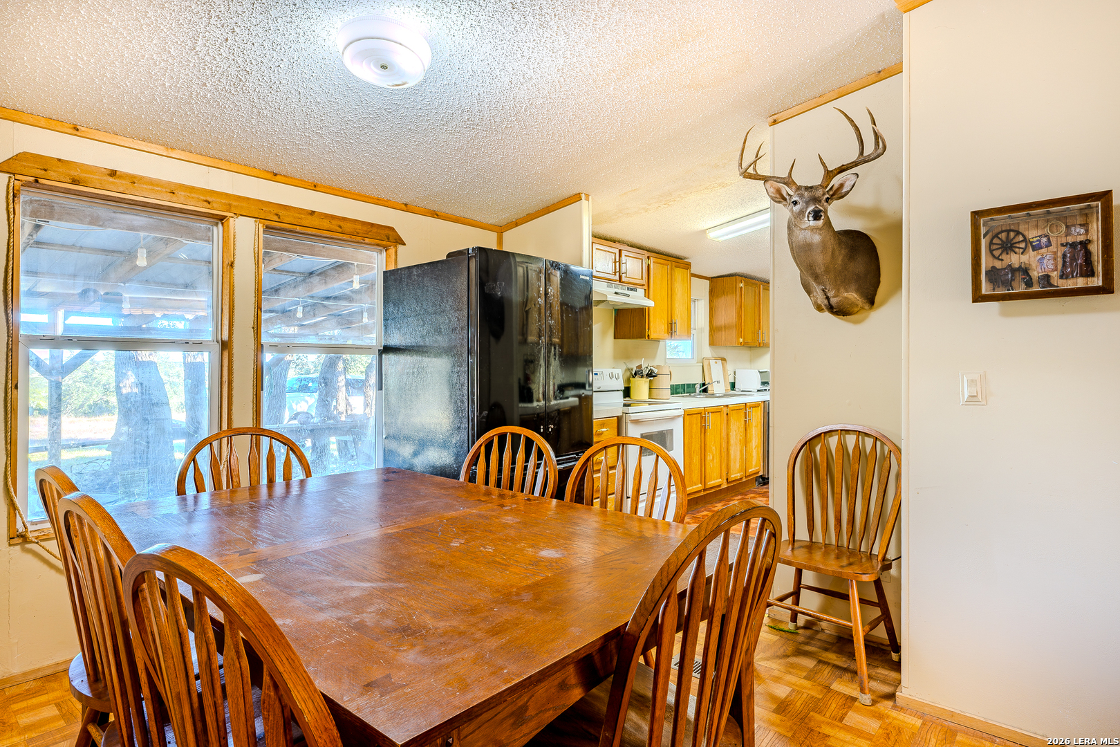
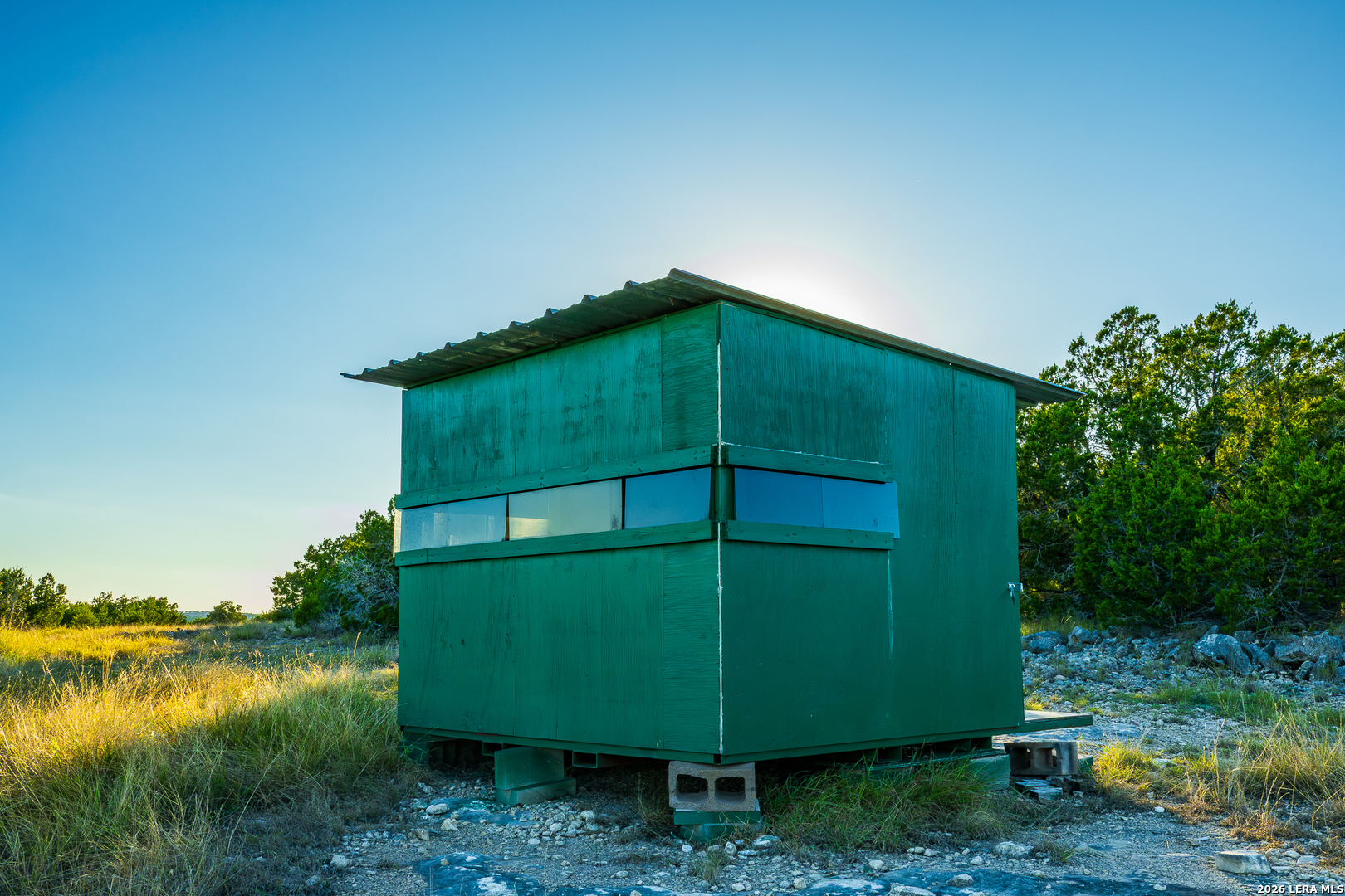
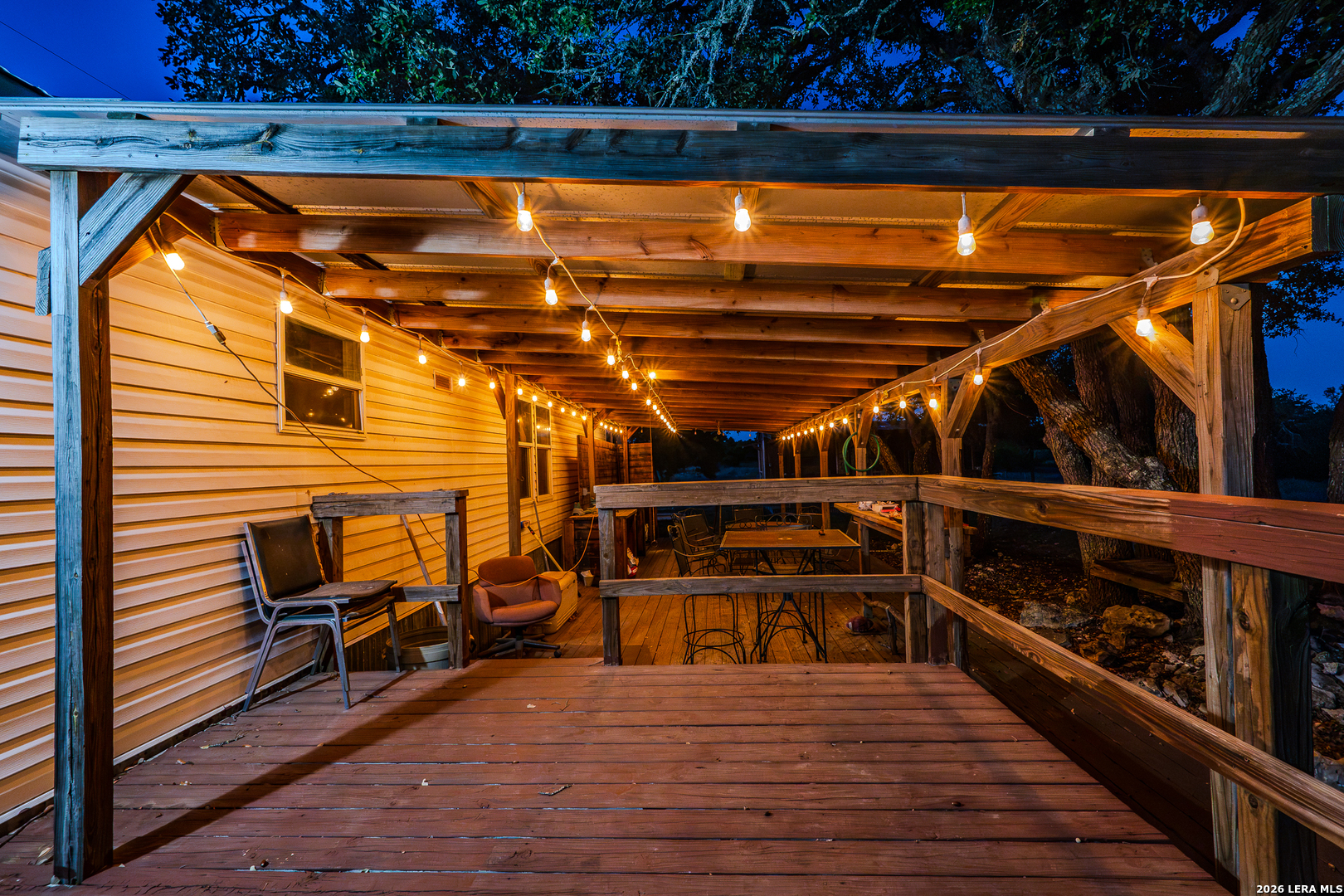
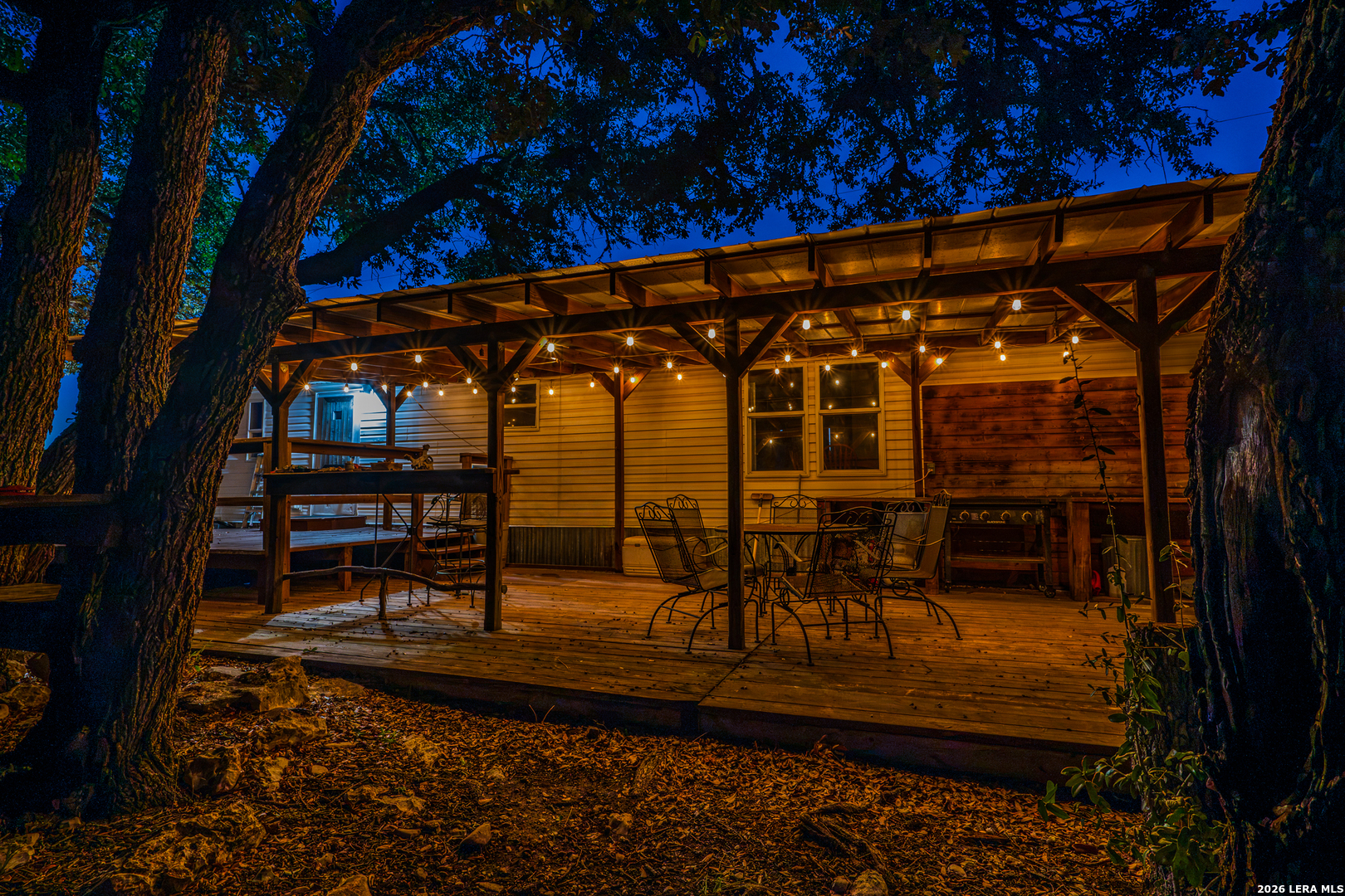
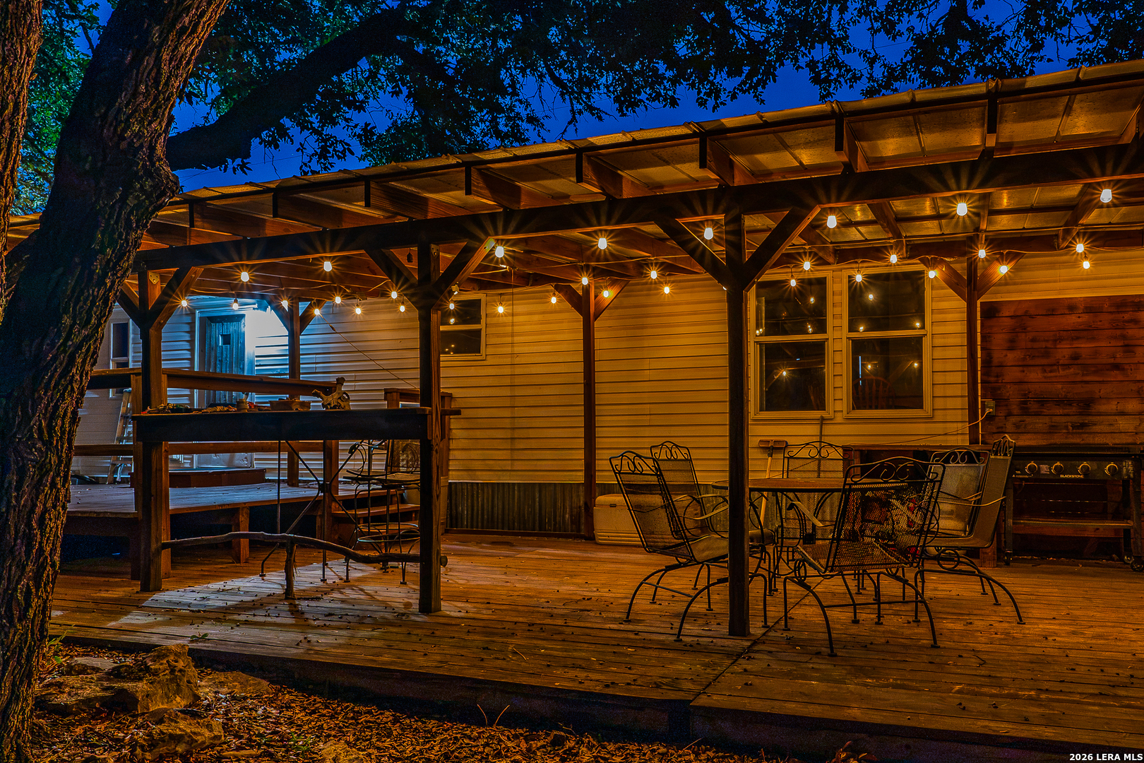
The four-bedroom, two-bath manufactured home offers a comfortable base, with a large covered back deck positioned to take in the surrounding views. A separate cantina adds a welcoming place to gather after a day outdoors. A private well is reported to produce approximately three gallons per minute, and internal ranch roads provide access across the property. With numerous potential locations to evaluate for hunting blinds, Blind Turkey Ranch is suited to time spent hunting, watching wildlife, and enjoying the quiet rhythms of the land.
Improvements
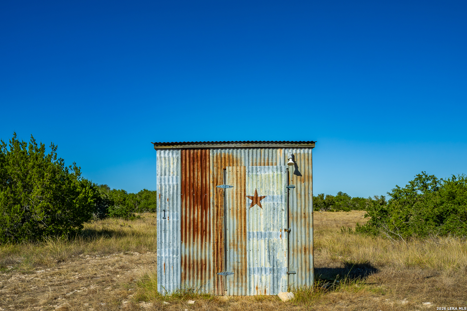
The ranch headquarters includes a four-bedroom, two-bath manufactured home that provides a place for owners and guests to stay while enjoying the property. There is a large covered back deck great for outdoor entertaining. A separate cantina offers a relaxed gathering spot after a day outdoors, whether for a meal, conversation, or planning the next outing. Together, the home and cantina give the ranch a useful starting point for weekend visits and recreational use.
Water
A solid private water well is reported to produce approximately three gallons per minute. This water source supports use of the ranch headquarters. Buyers should verify the well’s current production, water quality, and equipment as part of their due diligence.
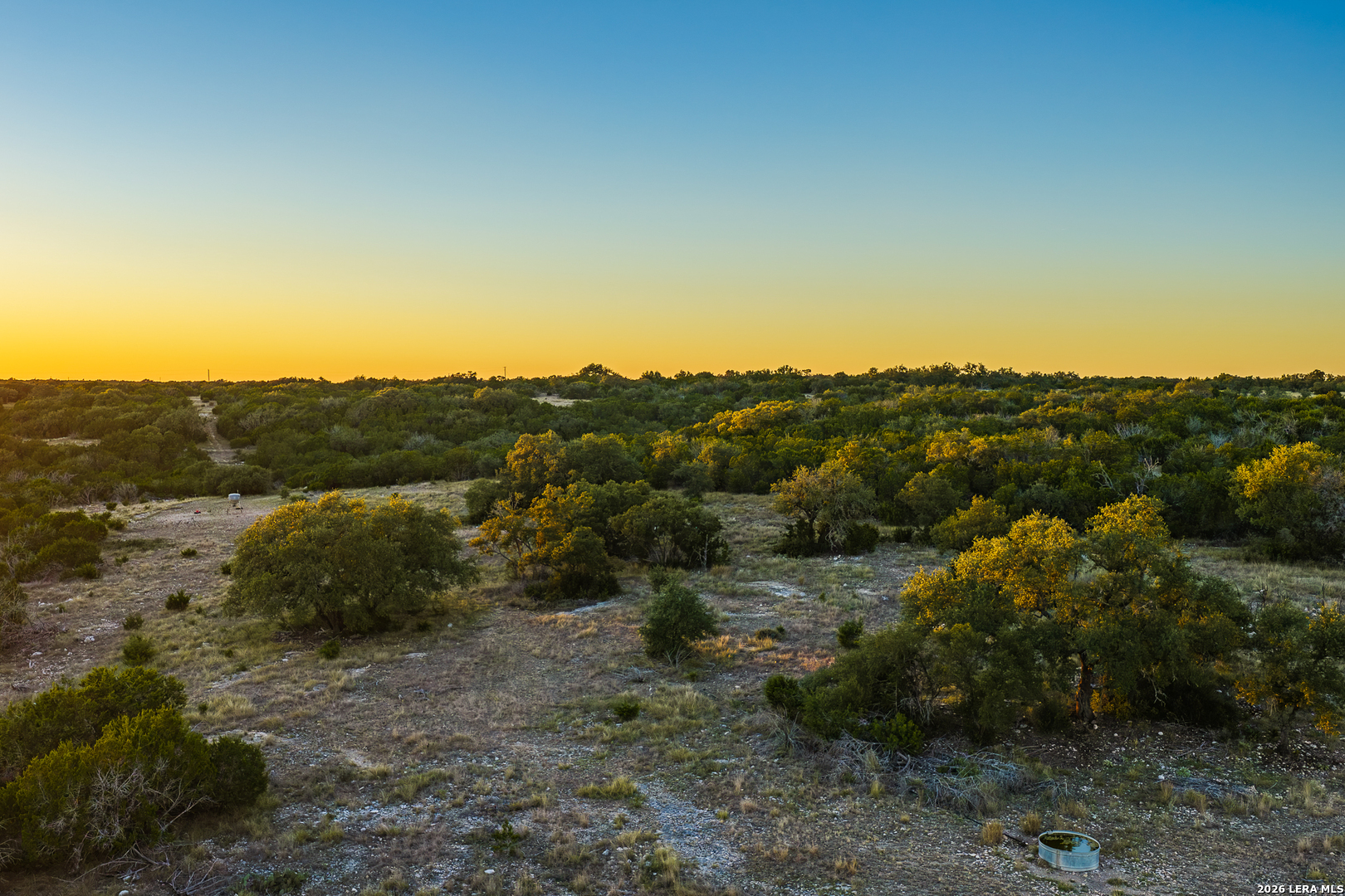
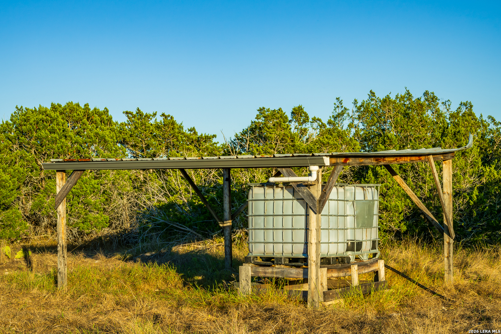
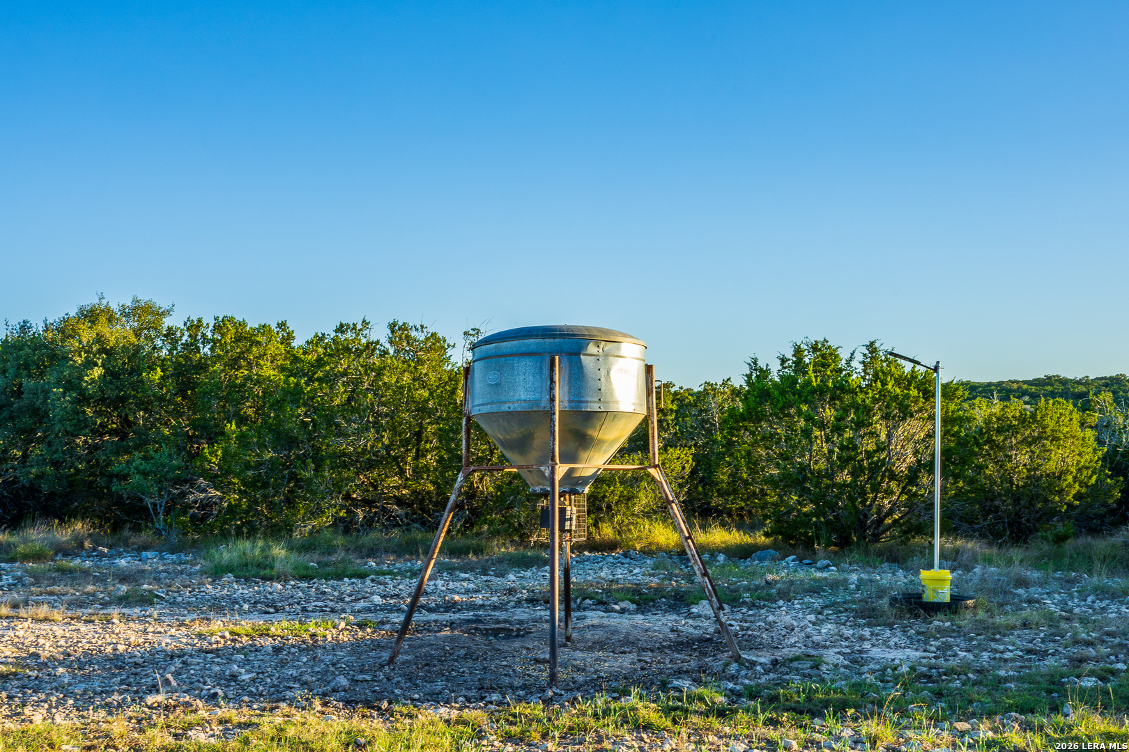
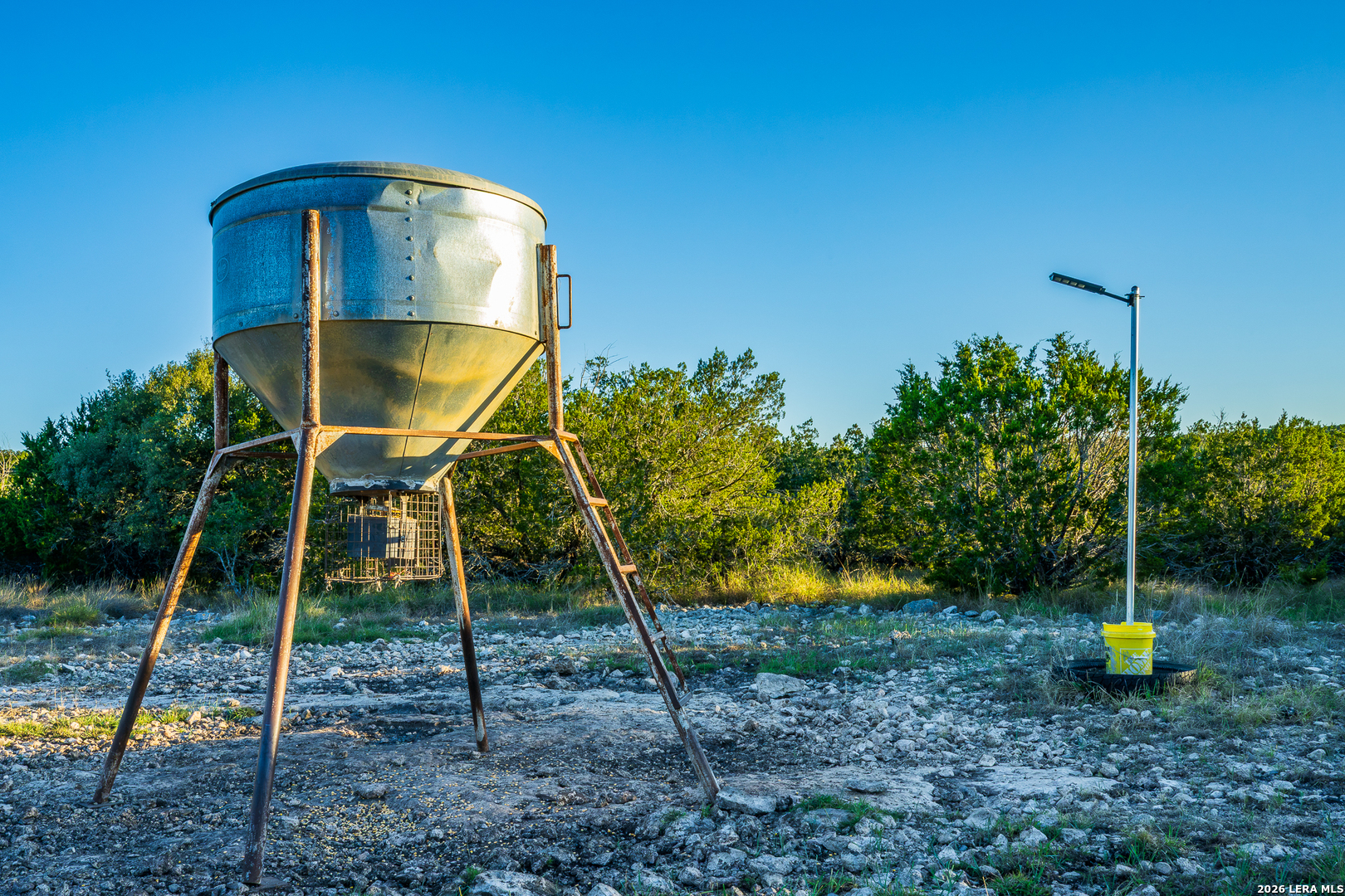
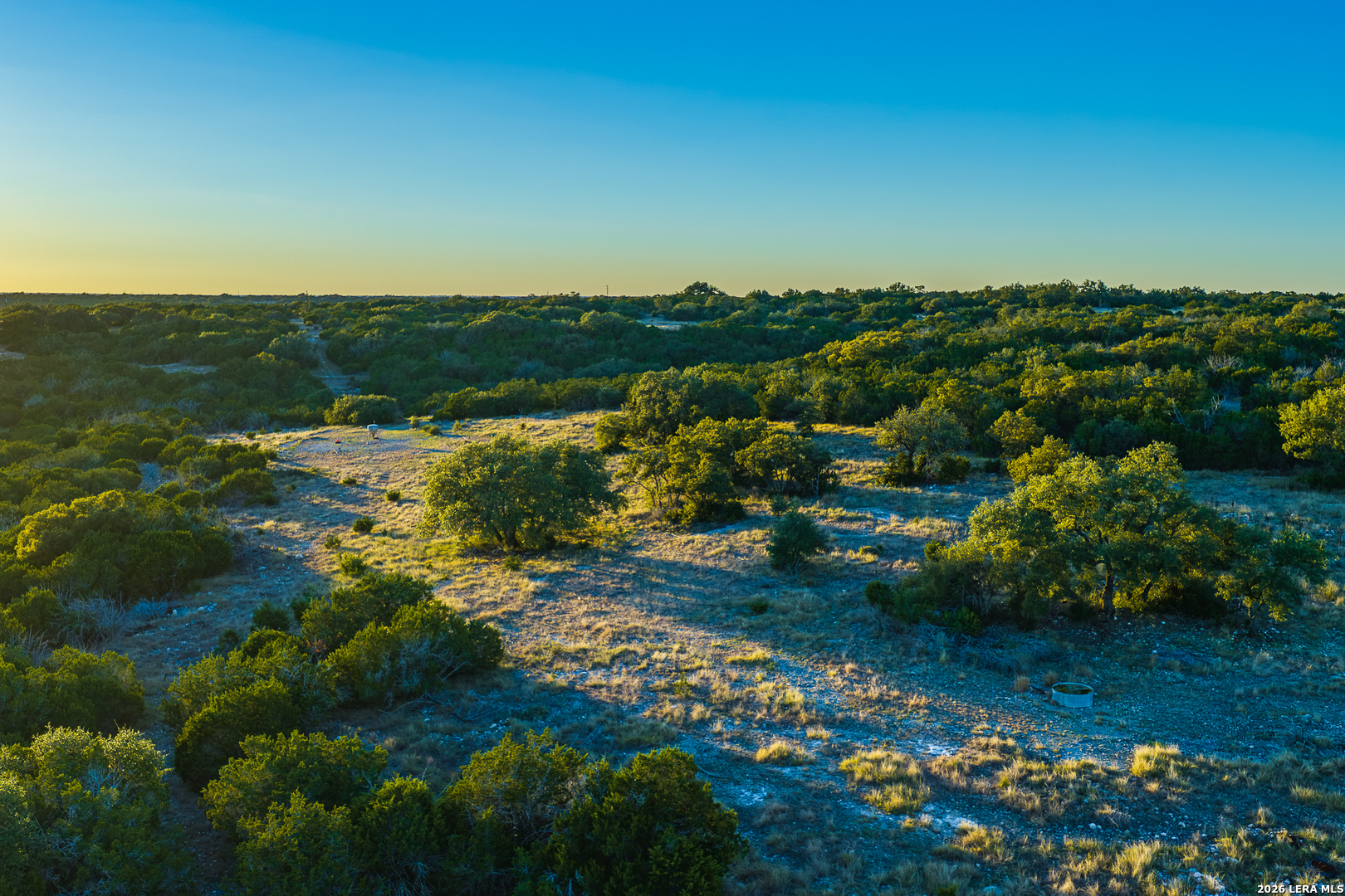
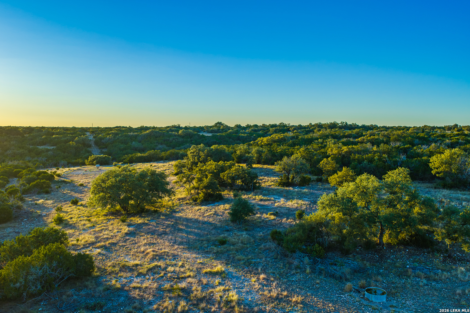
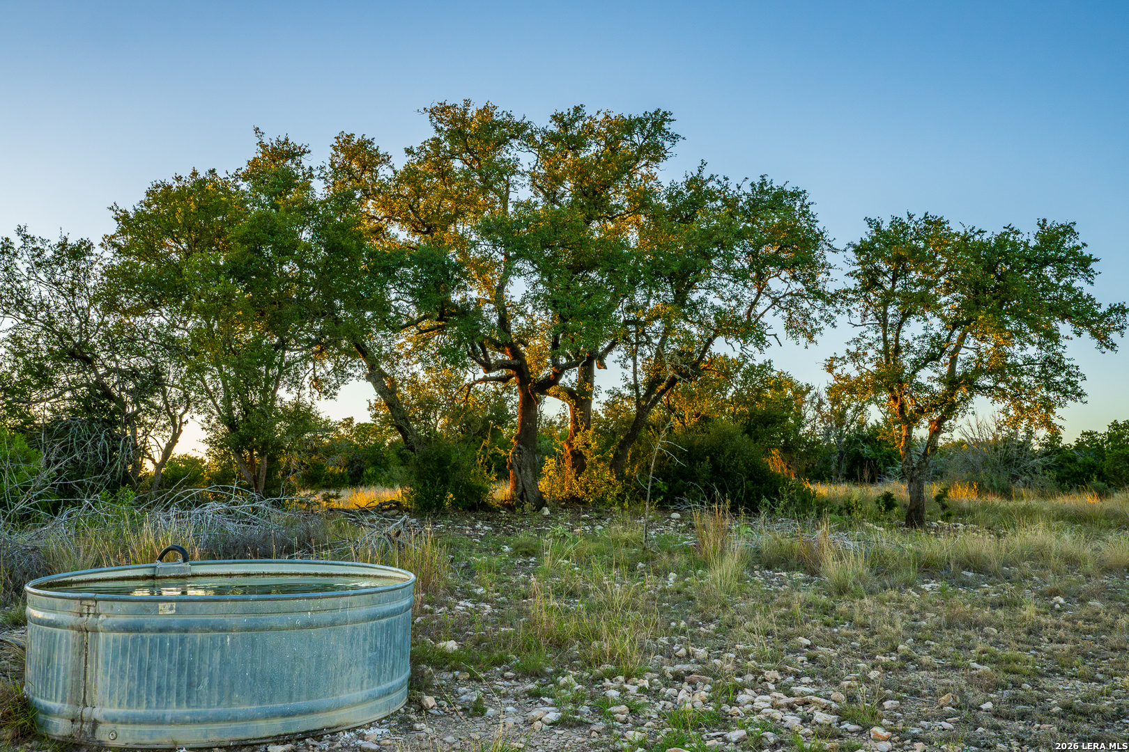
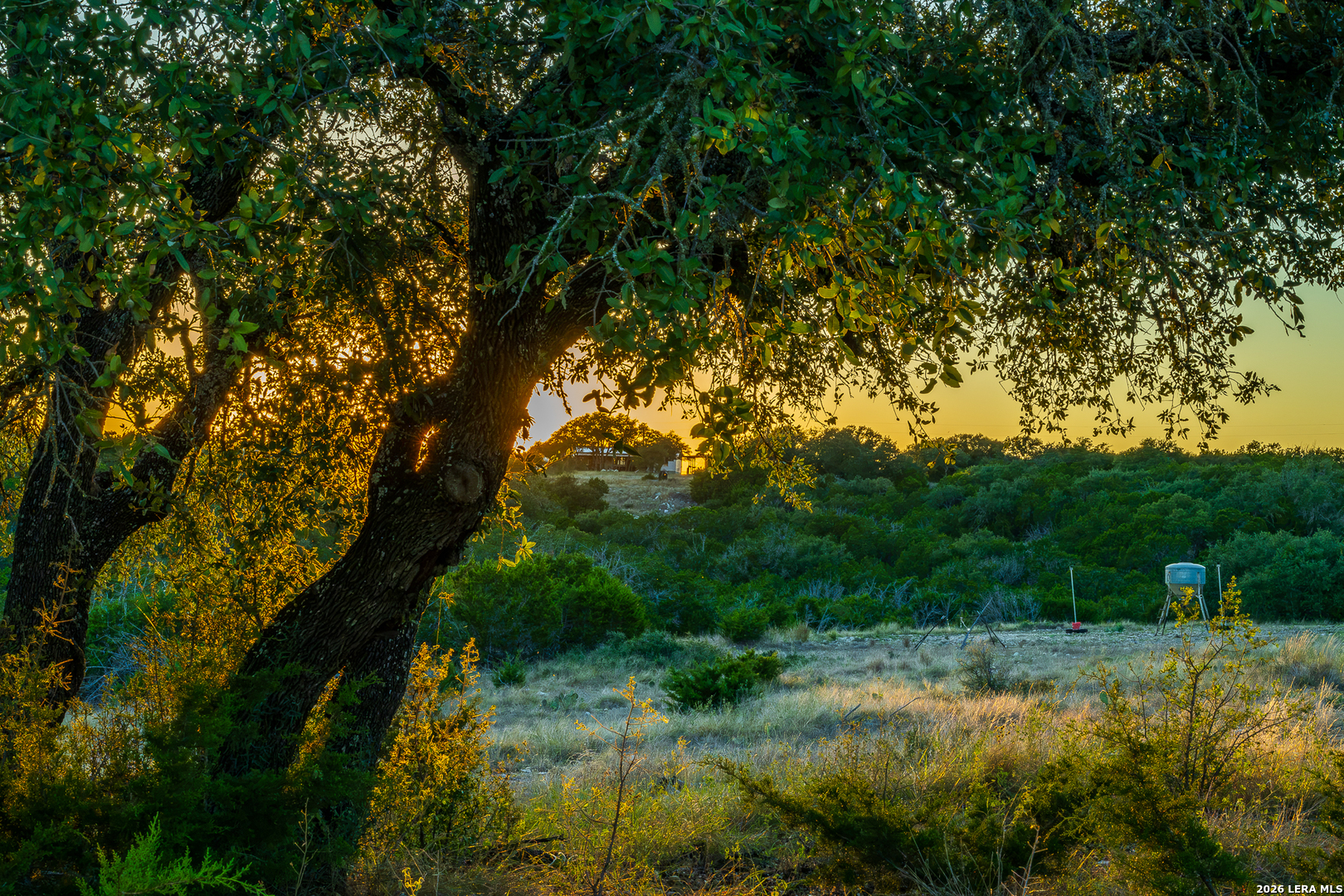
There are several water troughs set up through the ranch to provide water to the wild life. Along with a series of Wet Weather draws that collect and move water through out the property. Some of these areas along the draws could be easily improved to hold water.
Vegetation
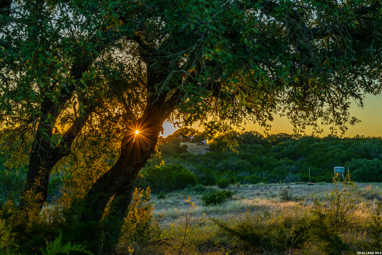
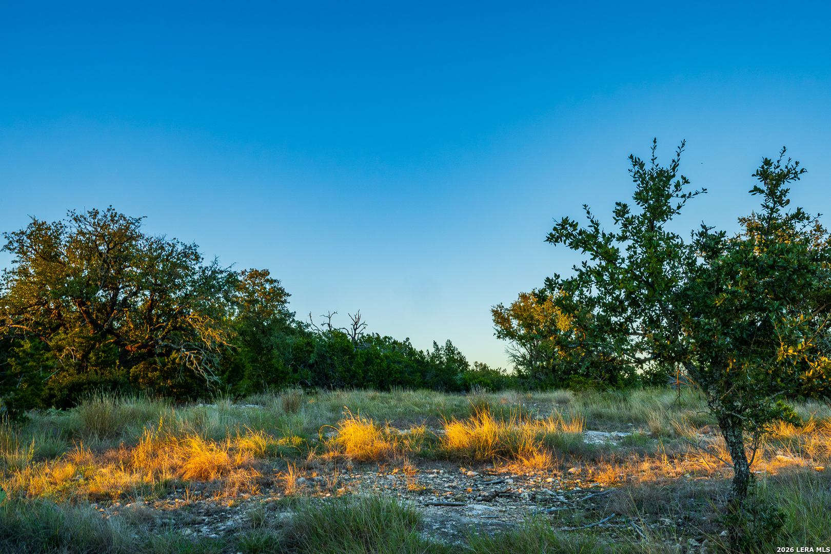
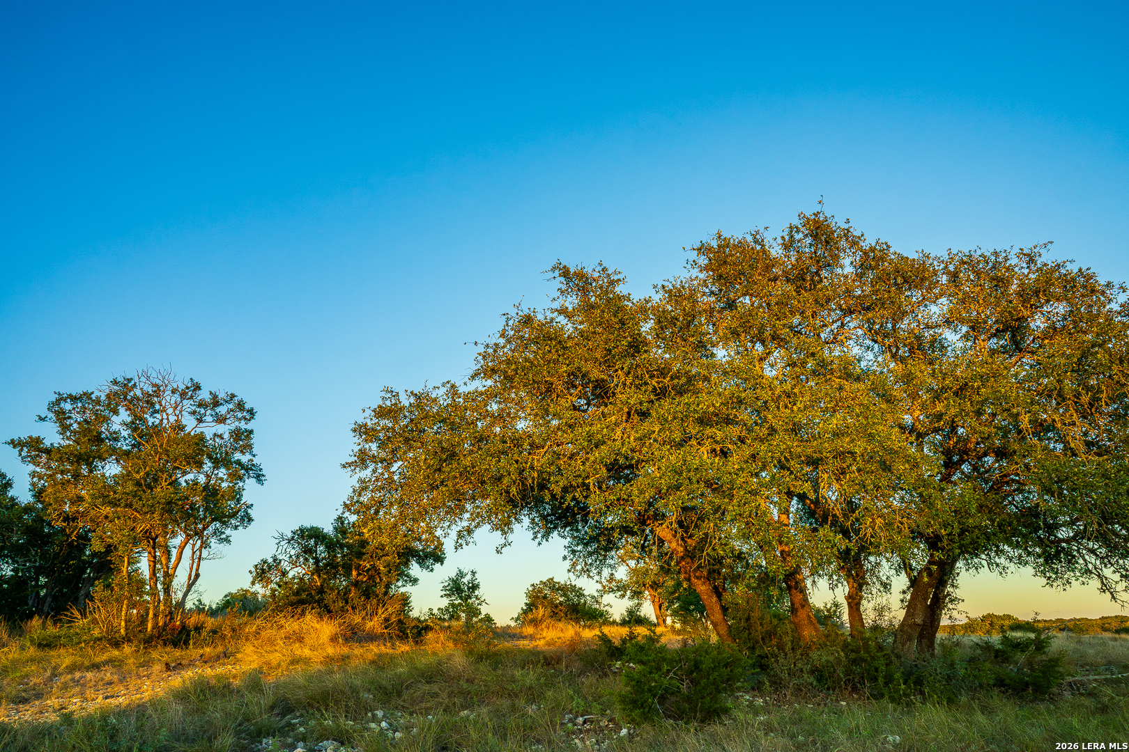
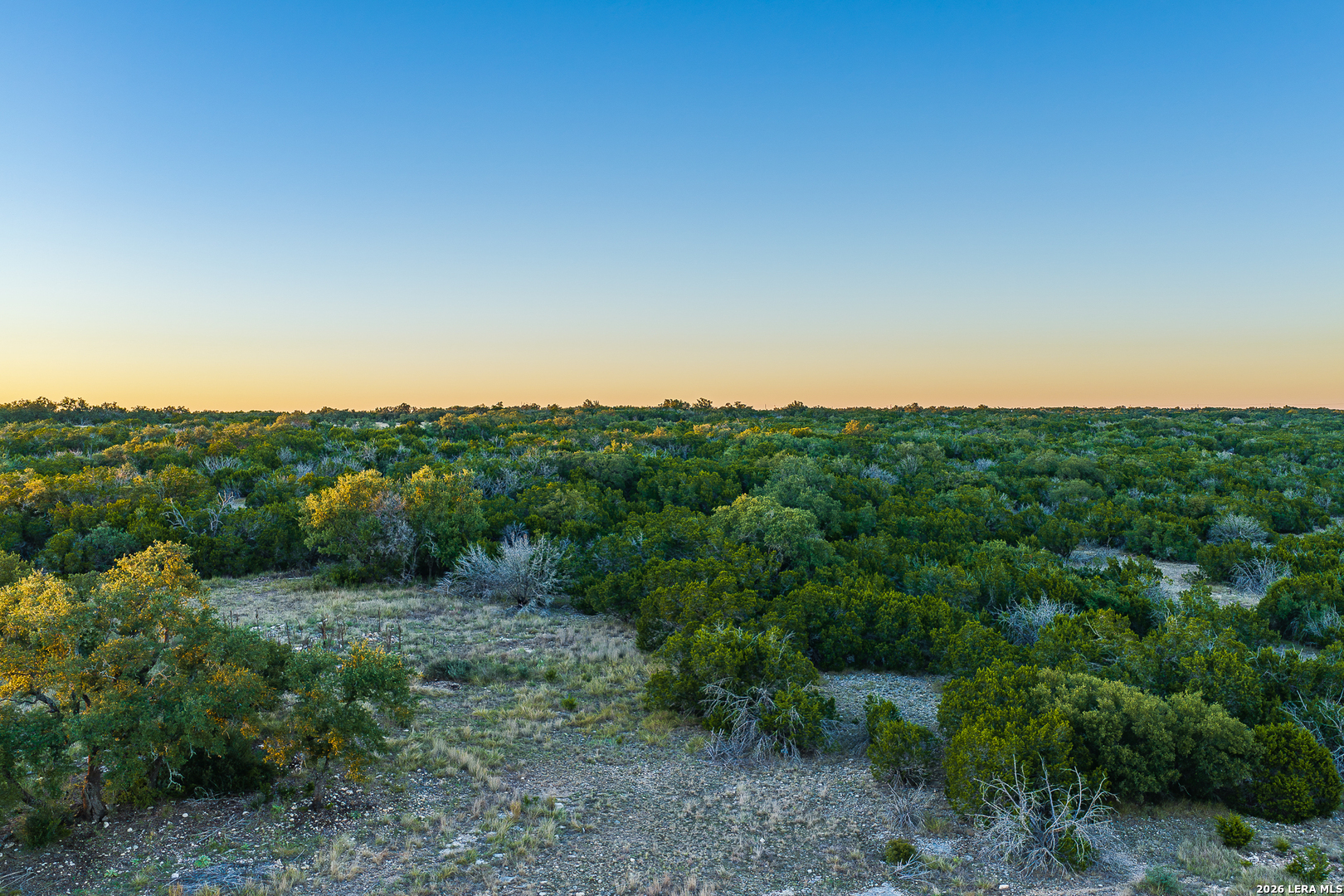
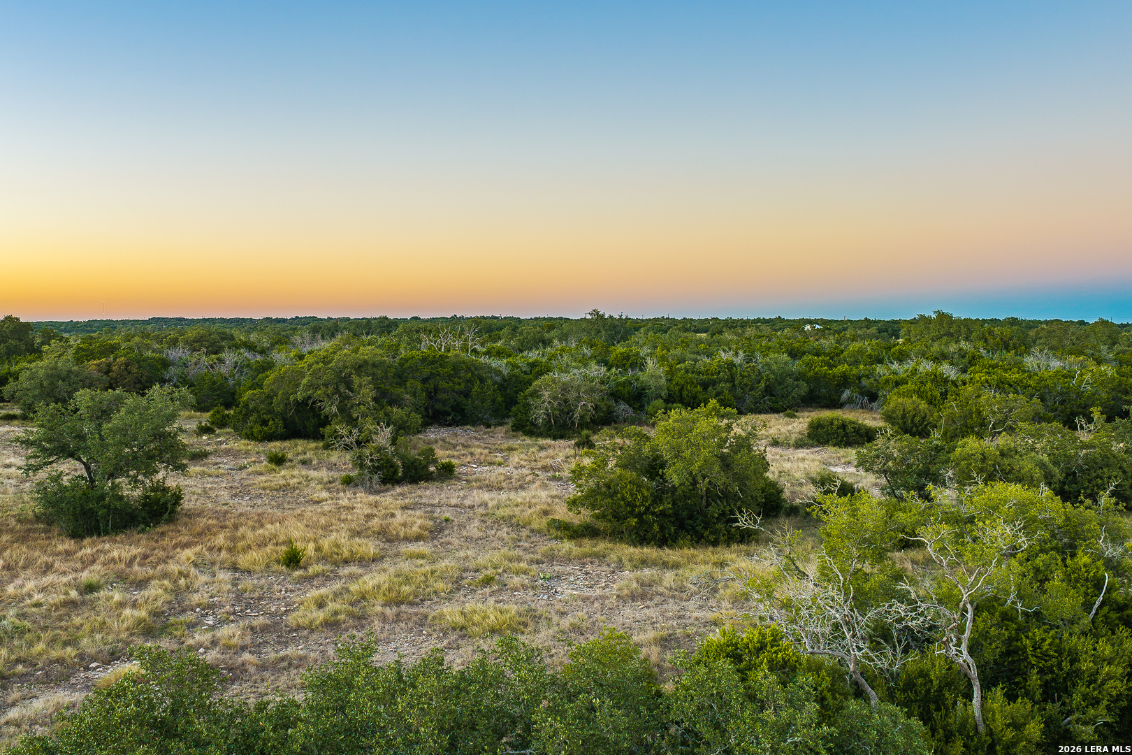
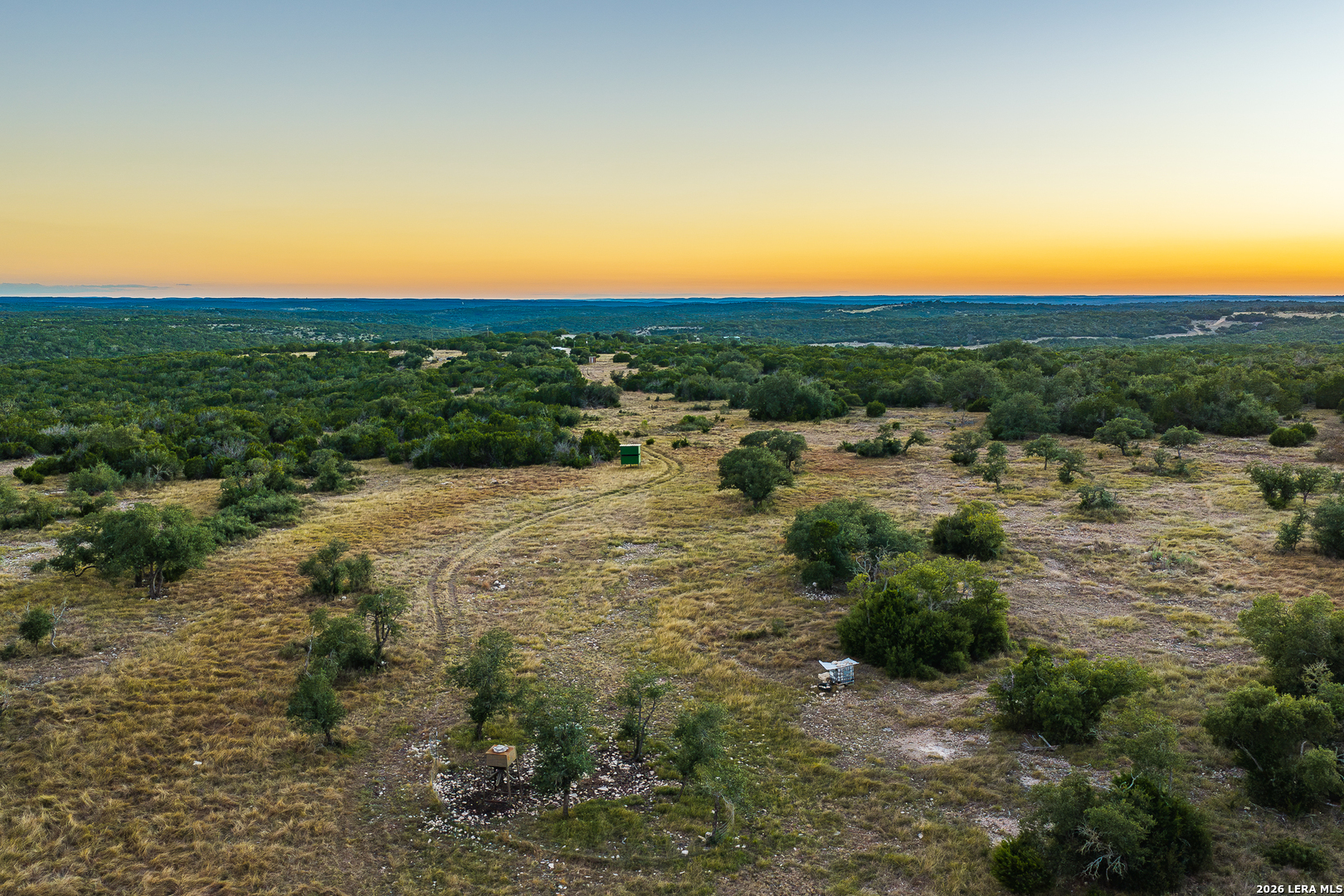
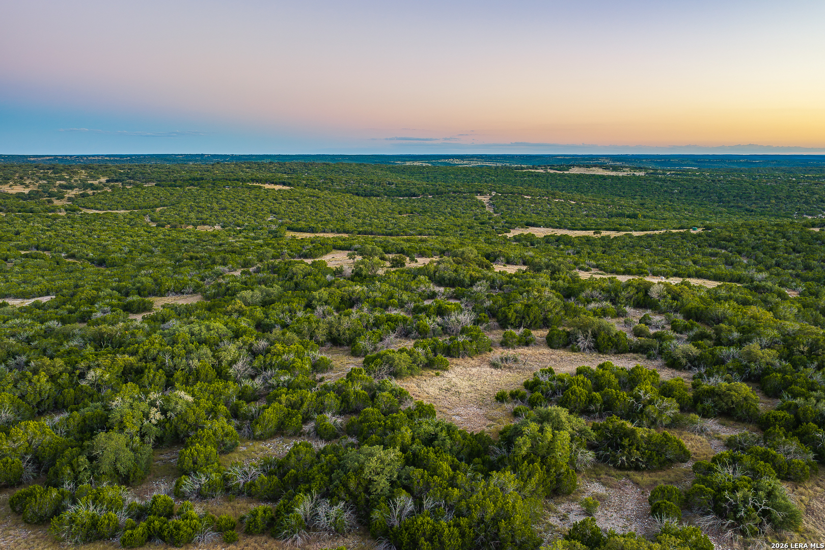
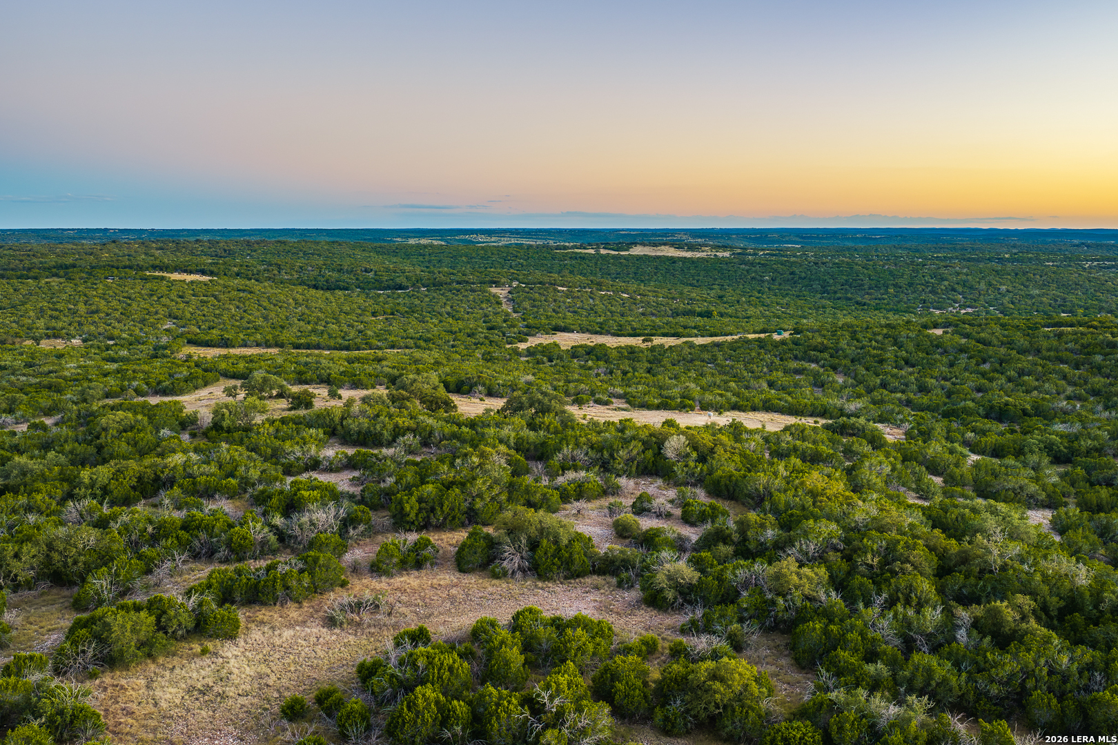
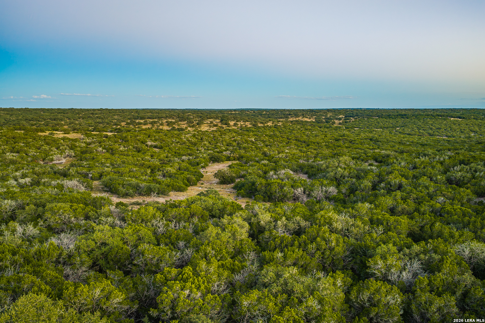
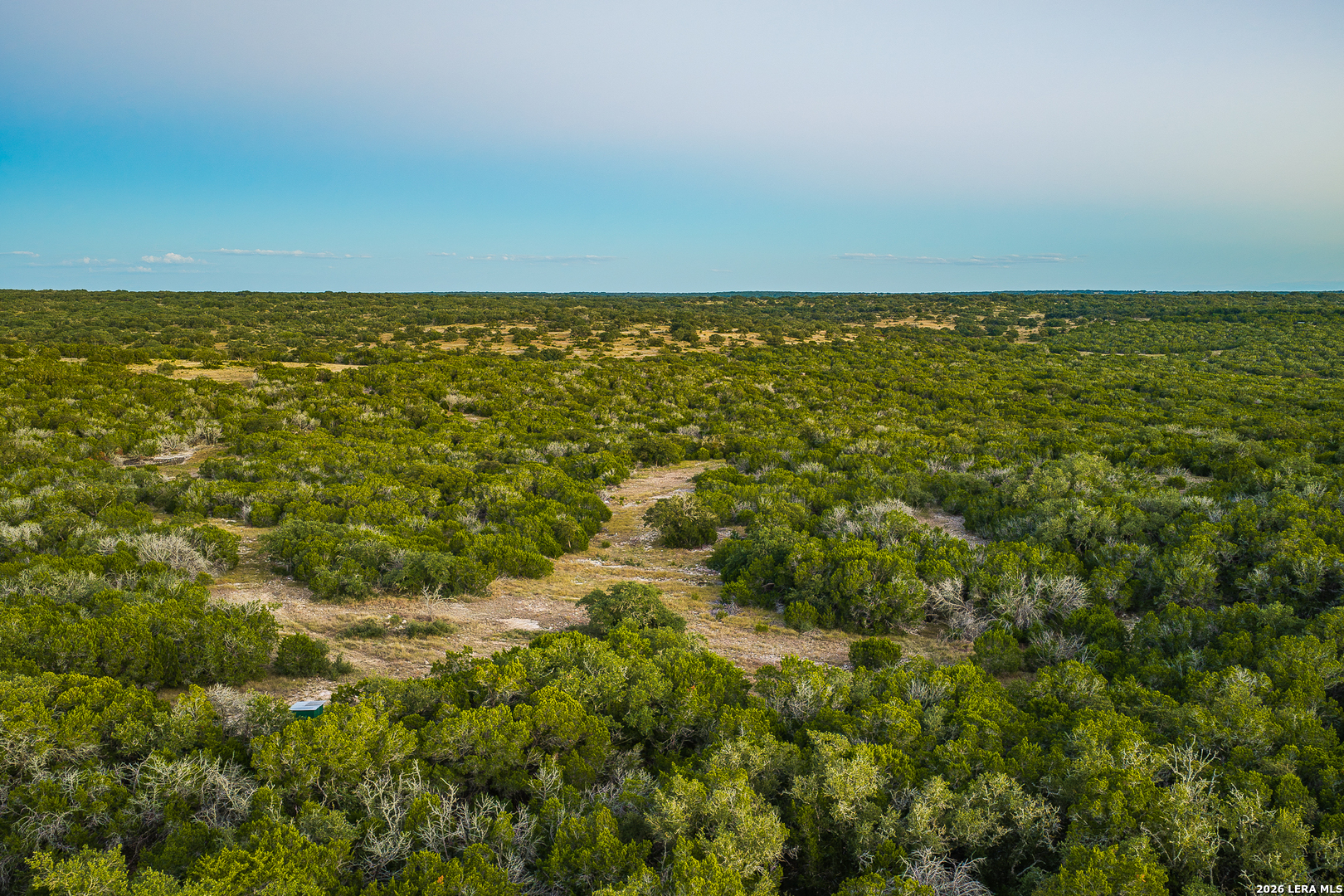
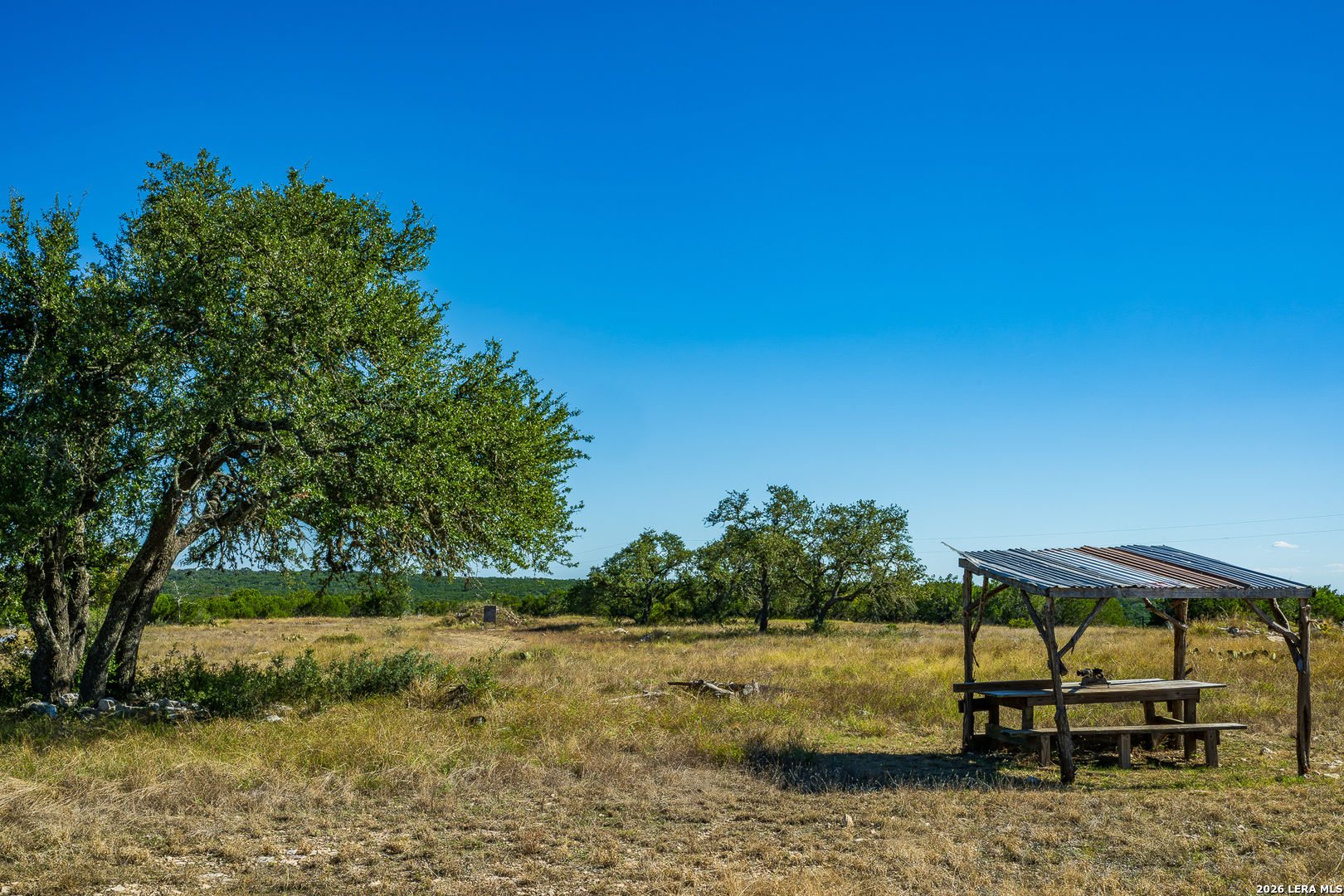
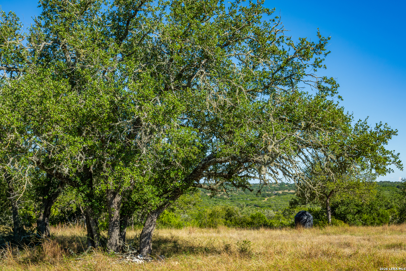
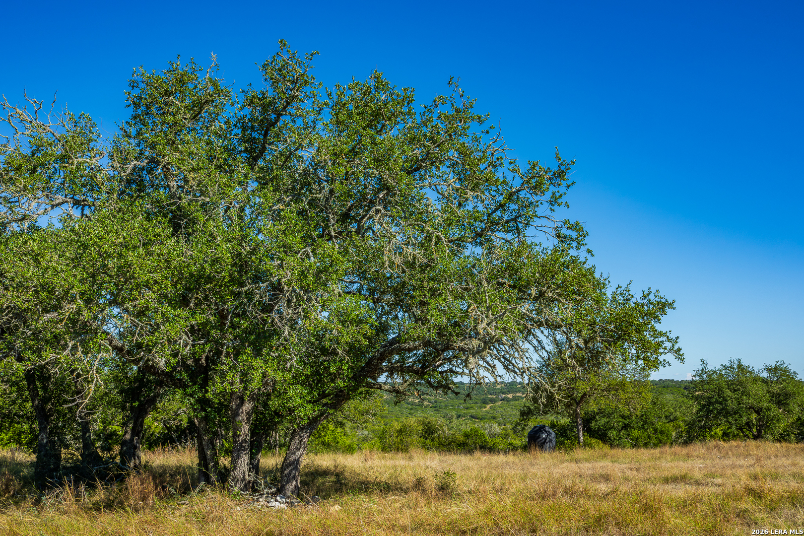
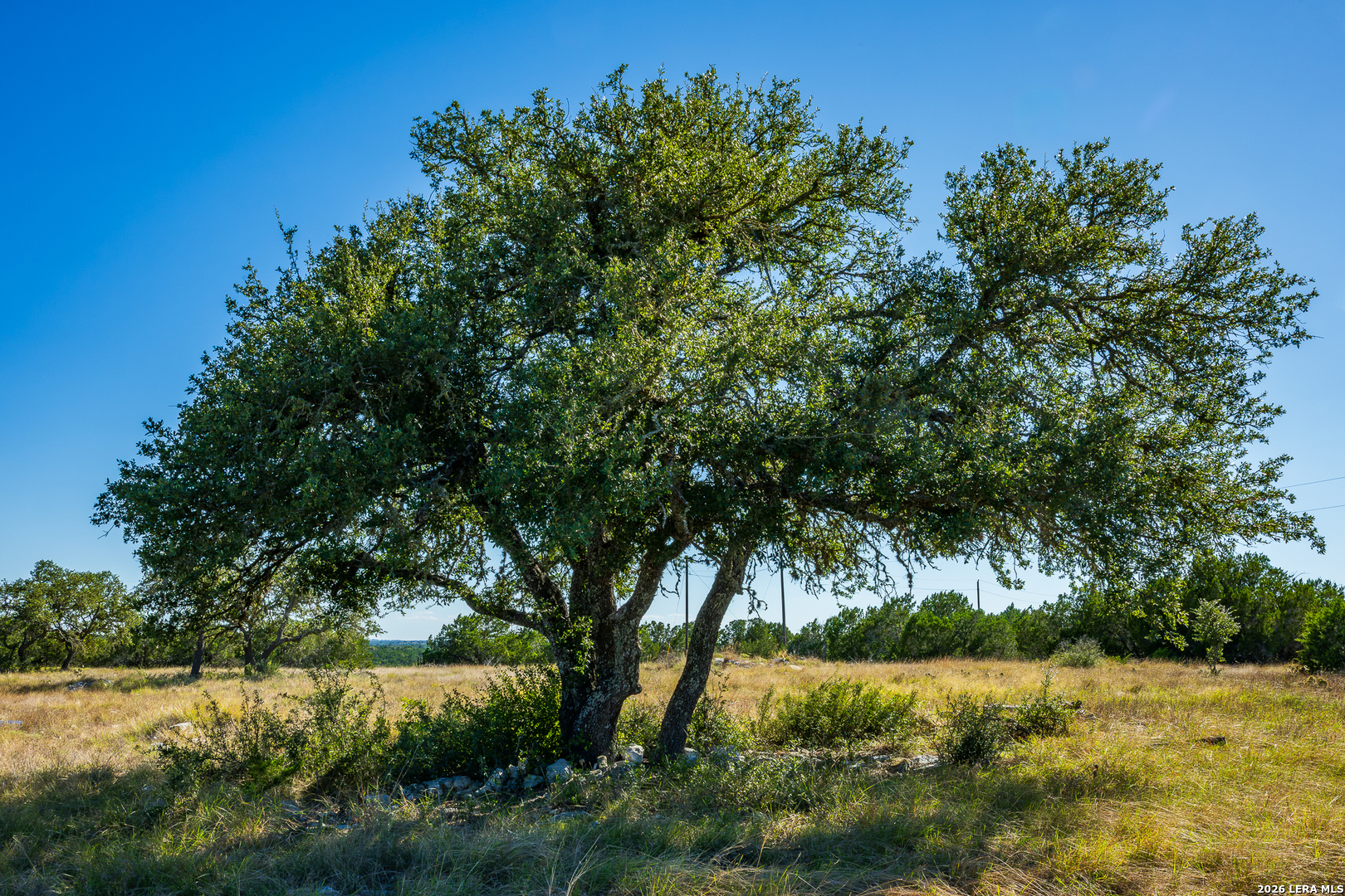
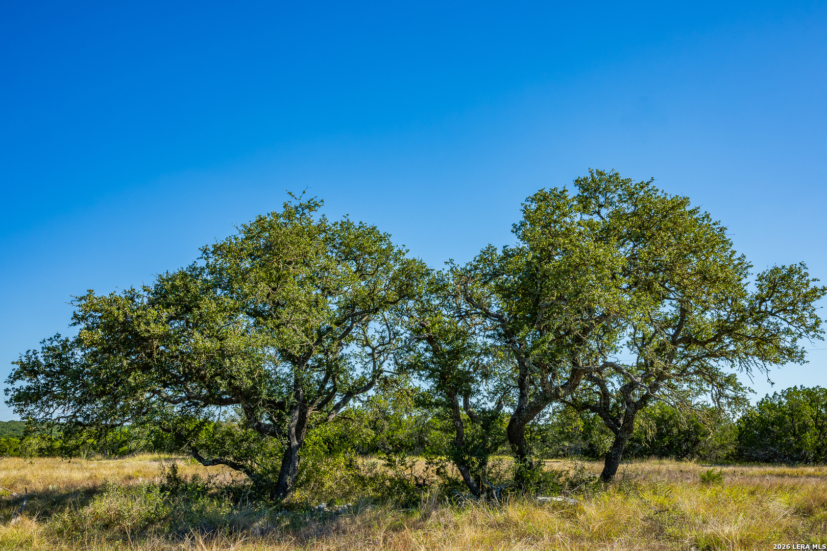
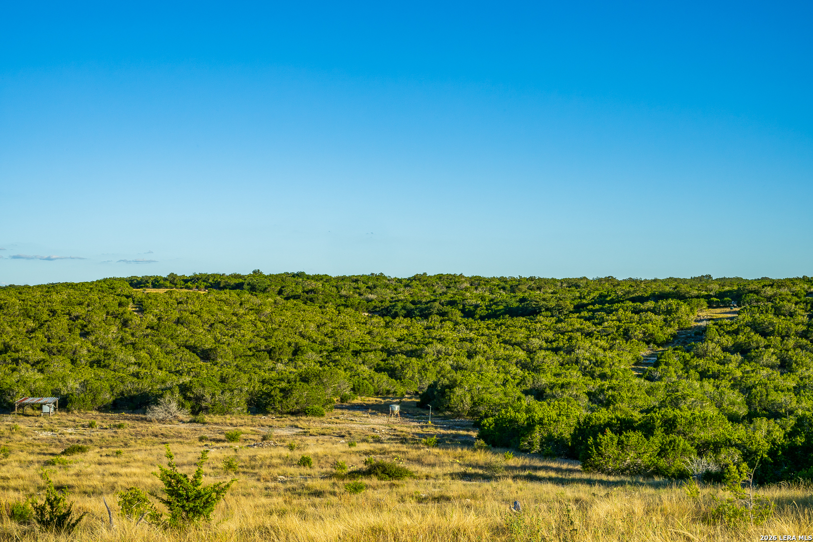
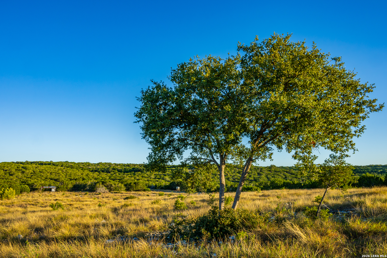
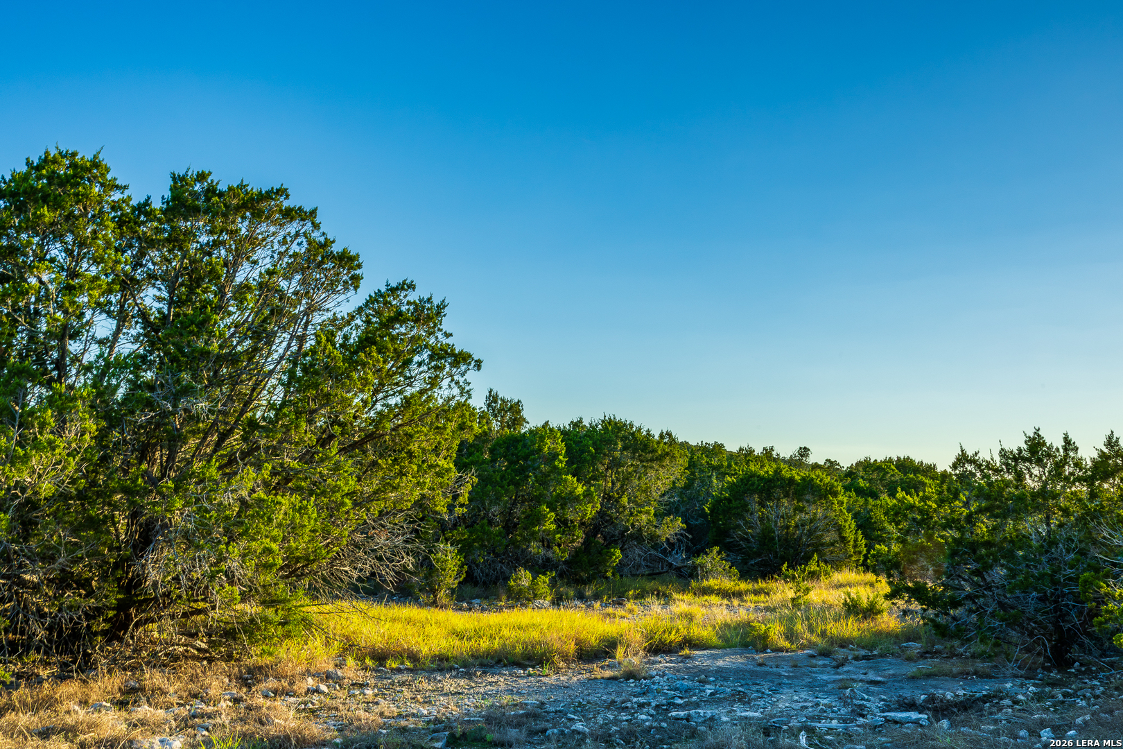
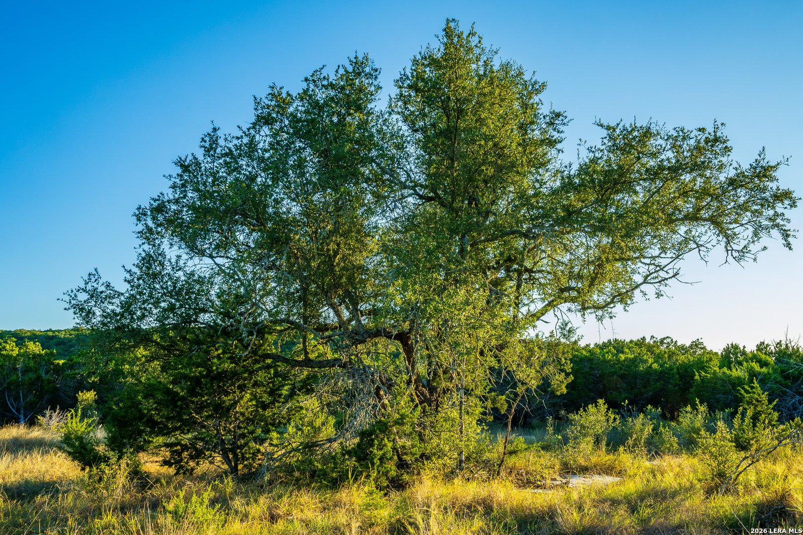
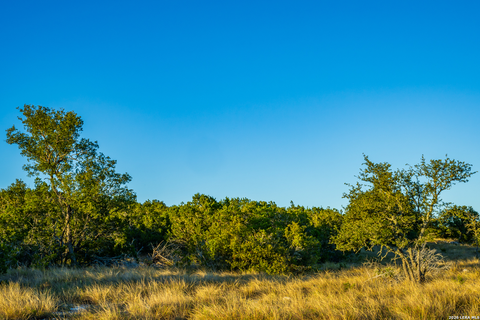
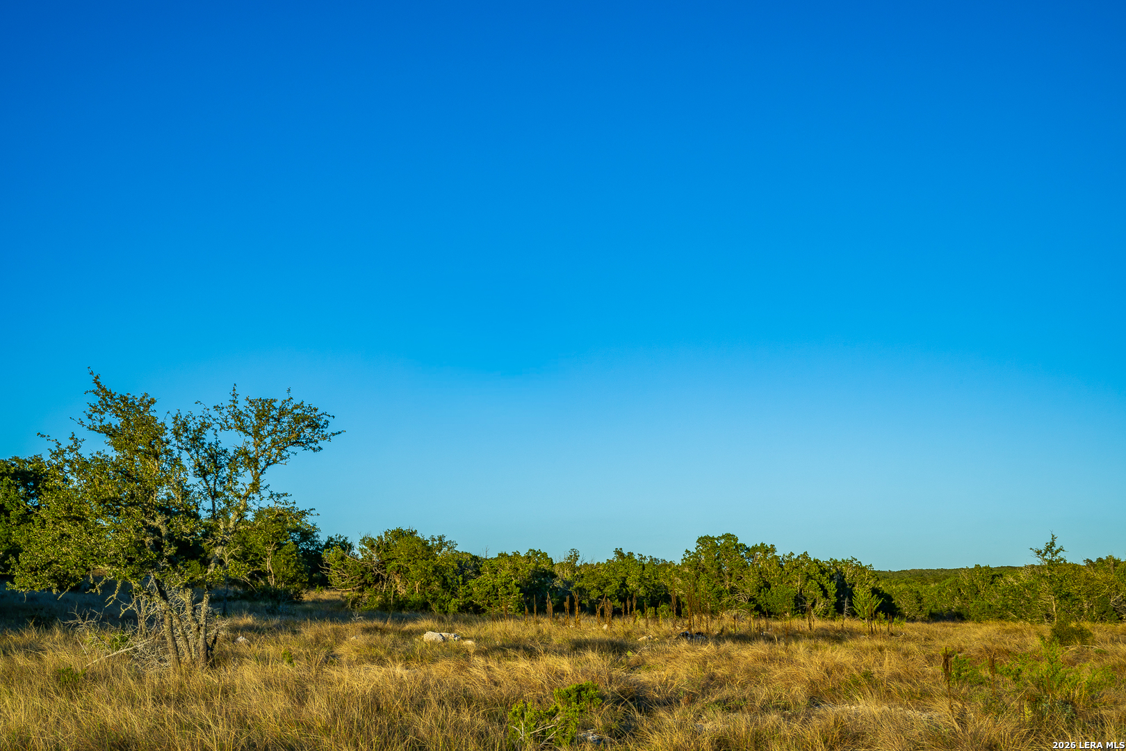
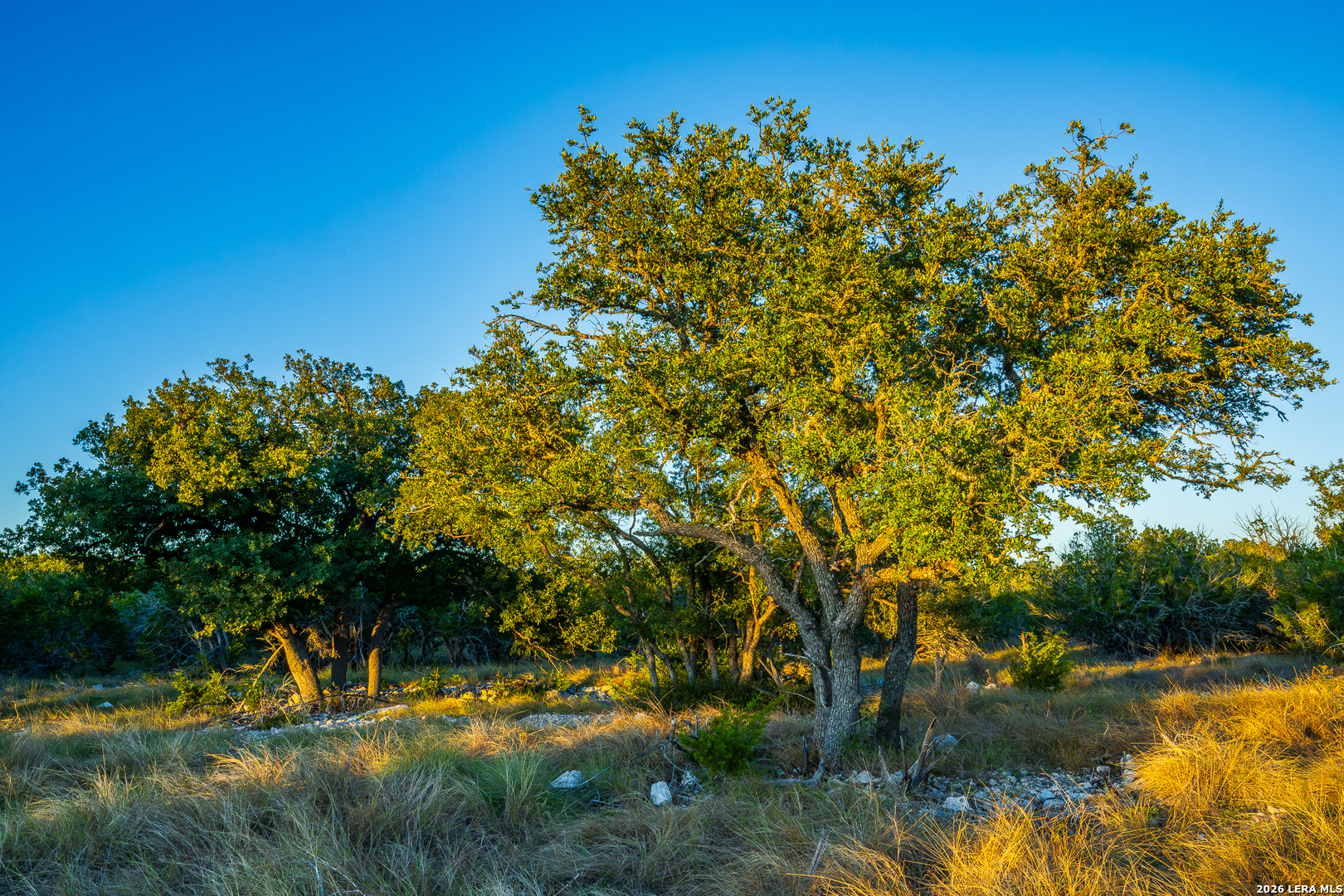
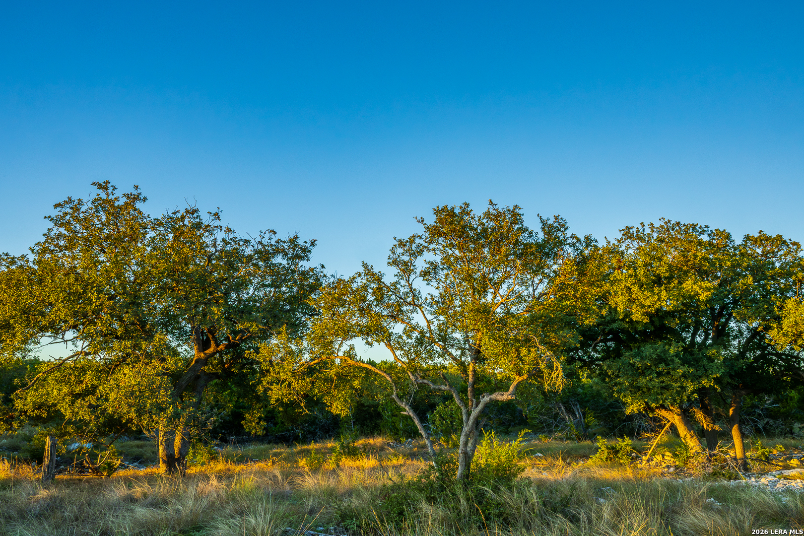
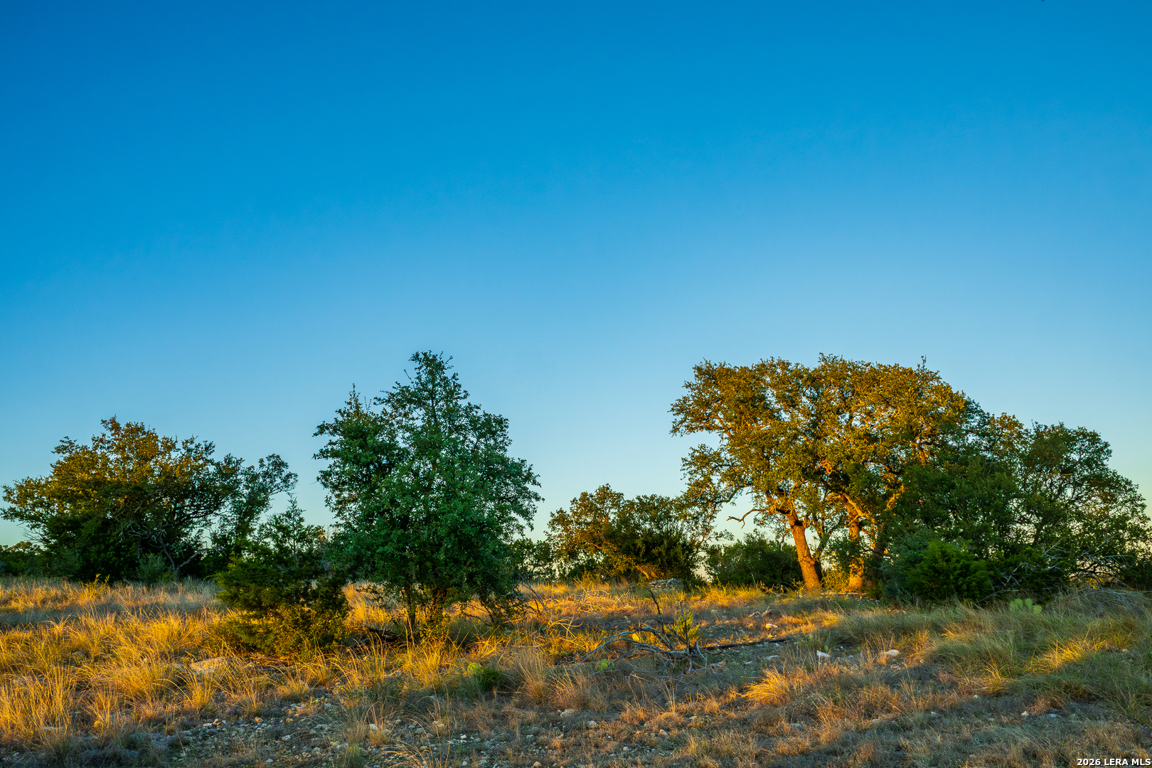
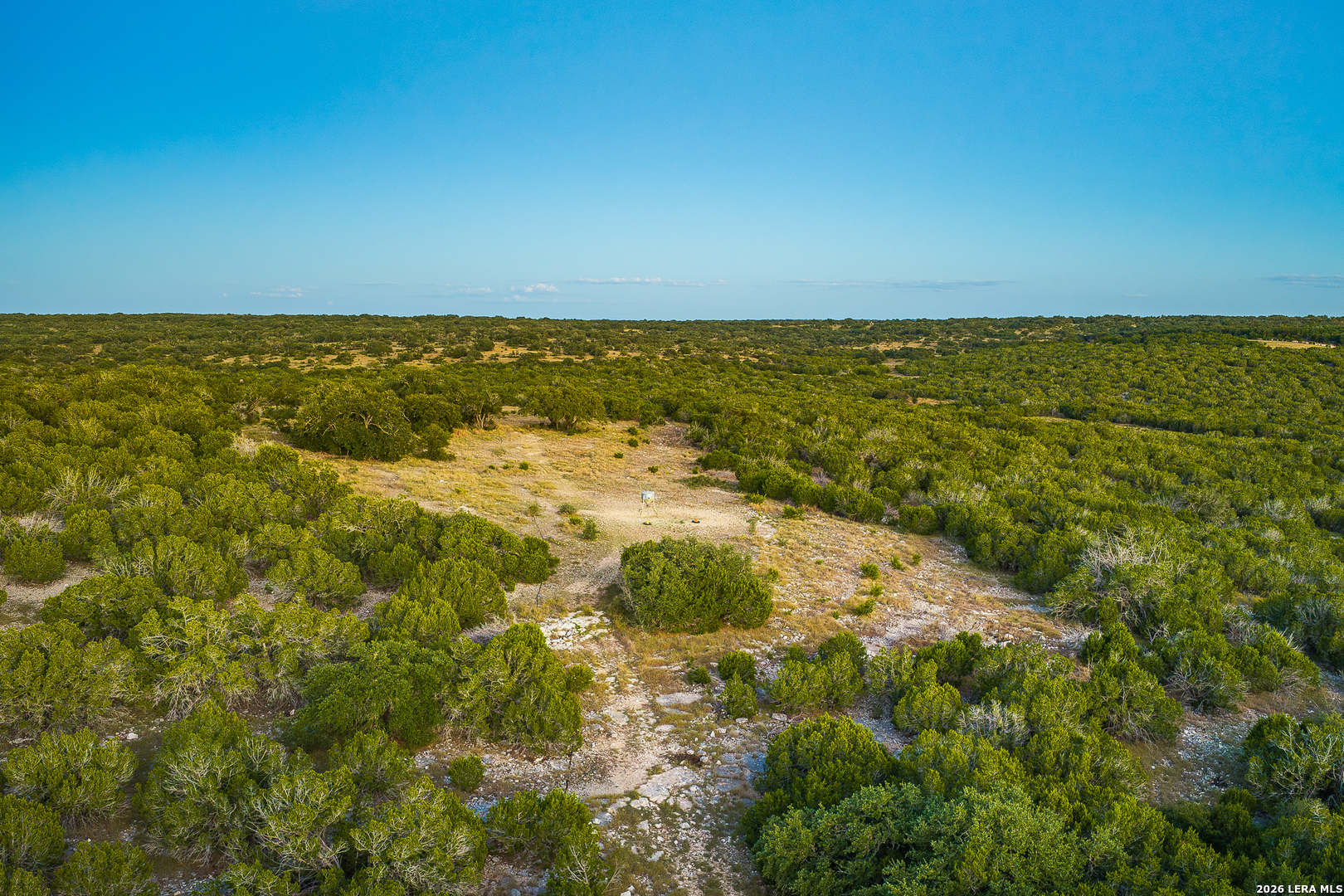
Native trees and brush contribute to the Edwards Plateau character of the Rocksprings area. Local vegetation can include live oak, shin oak, juniper, Texas persimmon, mesquite, lotebush, agarita, and evergreen sumac. The mix of plants and density of cover vary with slope, soil, and moisture. Brush and tree-lined areas provide visual contrast with more open ground and create habitat and sheltered routes through the ranch. The property has plenty of cover for game but has been shaped to be able to navigate getting around the property. Several areas have been cleared providing nice open space for native grasses to flourish providing meadows for the game to roam on.
Topography
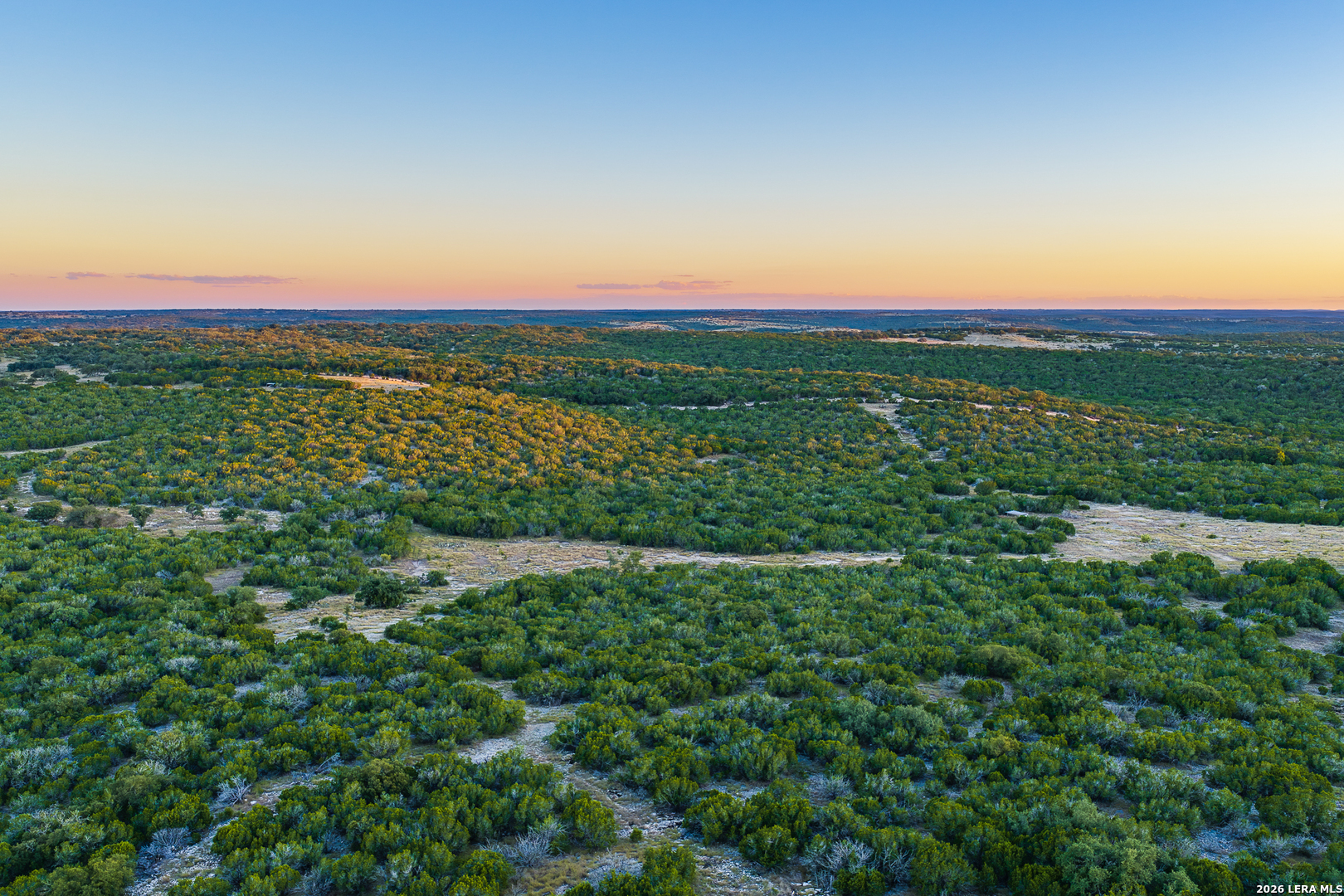
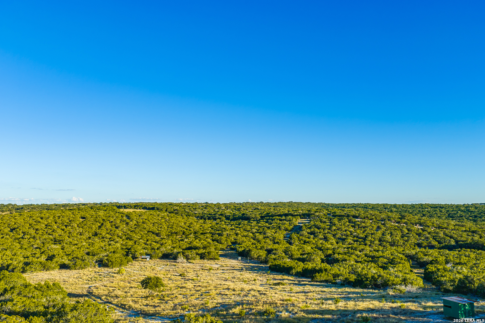
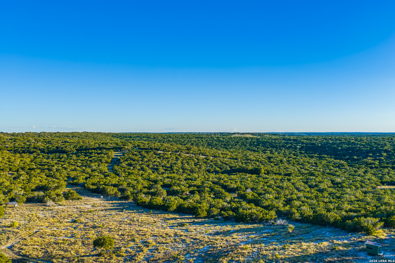
Blind Turkey Ranch has a varied topography, with broad ridges and elevated shoulders overlooking a network of wet-weather draws. Based on the elevations shown on the topo map, the lower drainage areas are near 2,100 feet, while the higher ridges approach 2,300 feet. This creates approximately 200 feet of elevation change across the property. The highest ground is along the upland ridges; the land then falls through rolling slopes and more defined draws toward the lower interior and eastern portions of the ranch.
Several wet-weather draws traverse the property. A northern branch descends through the east-central portion, where smaller tributaries join from the east. Other drainage lines cross the lower central and southern areas. Together, these channels form natural corridors that collect and carry runoff after rainfall, shaping the terrain and creating transitions between open slopes and more sheltered ground. They are intermittent drainages rather than year-round flowing water.
The elevated ridges and shoulders provide sweeping, largely unobstructed views across the ranch and the surrounding countryside. From these higher vantage points, the property’s ridgelines, draws, and open country come into view, with distant horizons adding to the sense of space. The contrast between broad outlooks on the high ground and the more enclosed character of the wet-weather draws gives the ranch a distinctive landscape to explore.
Wildlife
Blind Turkey Ranch offers the terrain, native cover, and potential blind locations to make hunting a central part of the ranch experience. White-tailed deer and Rio Grande turkey are among the native game animals found in the broader Edwards Plateau region, along with dove. The ranch’s draws and brush-covered areas provide natural places to scout for sign and evaluate stand locations as part of a hunting plan tailored to the property.
Javelina, rabbits, and other wildlife add to the experience afield. Foxes, bobcats, raccoons, armadillos, and a variety of birds also inhabit the region. Axis, fallow, or sika deer and aoudad may occasionally travel through the surrounding country and cross the ranch.
For the next owner, Blind Turkey Ranch offers room to plan hunts, watch wildlife, and enjoy the anticipation of time outdoors. Game presence and hunting opportunities vary with season, habitat, and management.
Location
The ranch is located at 913 Greenwood Valley Ranch Road, Rocksprings, Texas 78880. The approach is along a quiet, well-maintained road, away from busier routes. Significantly larger neighbors to the south and east help maintain the open rural character of the setting. Estimated drive times to the Ranch area are approximately 2 hours from San Antonio, 3 hours from Austin, 5 hours from Houston, and 5 hours from Dallas. The ranch is located On Hwy 41 between the Gavin Store on 83 and Rocksprings.
We would love to help you see this beautiful property! As a full-service brokerage, we can help you tour. Just give us a call! Want to know what your property is worth? We can provide you with a professional Comparative Market Analysis

Our favorite Summertime hang out place on the Frio River is in Leakey! We have been coming here since the 80's. When Jennifers family bought a property there. Real County is in southwest Texas, bounded on the north and west by Edwards County, on the east by Kerr and Bandera counties, and on the south by Uvalde County. The center of the county lies at 29°50' north latitude and 99°50' west longitude, 100 miles northwest of San Antonio. Real County encompasses 622 square miles of the Balcones Escarpment on the southern edge of the Edwards Plateau; its terrain is characterized by sharply dissected canyonlands crossed by numerous streams, which flow from perennial springs in the water-bearing strata of the Edwards and Glen Rose limestone formations and descend the escarpment over beds of limestone, gravel, and calcareous soils. Headwaters of both the Frio and the Nueces rivers lie within Real County; the Nueces forms the county's western boundary with Edwards County. Elevations range from 1,500 feet in the valleys to 2,400 feet in the northern part of the county at the edge of the plateau; the mountains and ridges in the western half of the county, the eastern edge of the Nueces Canyon, are steeper and more rugged than those along the Frio Canyon to the east. Rainfall averages 23.88 inches annually. Temperatures range from an average low of 35° F in January to an average high of 96° F in July; the growing season lasts about 235 days. Although agriculture has been of limited significance to the area since the earliest periods of human occupation, arable land is found in the valleys, where pecan trees are plentiful.
read more
I'm Interested In
116 E Travis St Fredericksburg TX 78624
116 E Travis St Fredericksburg TX 78624